53 Franklin Dr Port Deposit, MD 21904
Estimated Value: $357,000 - $403,000
3
Beds
1
Bath
1,295
Sq Ft
$289/Sq Ft
Est. Value
About This Home
This home is located at 53 Franklin Dr, Port Deposit, MD 21904 and is currently estimated at $374,785, approximately $289 per square foot. 53 Franklin Dr is a home located in Cecil County with nearby schools including Conowingo Elementary School, Perryville Middle School, and Perryville High School.
Ownership History
Date
Name
Owned For
Owner Type
Purchase Details
Closed on
Nov 9, 2011
Sold by
Tucker Andrew J and Tucker Danielle N
Bought by
Adams Timothy A and Adams Tanya M
Current Estimated Value
Home Financials for this Owner
Home Financials are based on the most recent Mortgage that was taken out on this home.
Original Mortgage
$163,265
Outstanding Balance
$111,867
Interest Rate
4.12%
Mortgage Type
New Conventional
Estimated Equity
$262,918
Purchase Details
Closed on
Oct 28, 2002
Sold by
Raser Donald L
Bought by
Tucker Andrew J and Tucker Danielle N
Purchase Details
Closed on
May 2, 1991
Sold by
Davitt-Baldwin, Inc.
Bought by
Raser Donald L
Home Financials for this Owner
Home Financials are based on the most recent Mortgage that was taken out on this home.
Original Mortgage
$86,850
Interest Rate
9.53%
Create a Home Valuation Report for This Property
The Home Valuation Report is an in-depth analysis detailing your home's value as well as a comparison with similar homes in the area
Home Values in the Area
Average Home Value in this Area
Purchase History
| Date | Buyer | Sale Price | Title Company |
|---|---|---|---|
| Adams Timothy A | $160,000 | Ardent Title Company Llc | |
| Tucker Andrew J | $136,000 | -- | |
| Raser Donald L | $85,000 | -- |
Source: Public Records
Mortgage History
| Date | Status | Borrower | Loan Amount |
|---|---|---|---|
| Open | Adams Timothy A | $163,265 | |
| Previous Owner | Raser Donald L | $86,850 | |
| Closed | Tucker Andrew J | -- |
Source: Public Records
Tax History Compared to Growth
Tax History
| Year | Tax Paid | Tax Assessment Tax Assessment Total Assessment is a certain percentage of the fair market value that is determined by local assessors to be the total taxable value of land and additions on the property. | Land | Improvement |
|---|---|---|---|---|
| 2025 | $2,803 | $259,467 | $0 | $0 |
| 2024 | $2,343 | $245,133 | $0 | $0 |
| 2023 | $1,909 | $230,800 | $68,800 | $162,000 |
| 2022 | $2,625 | $227,700 | $0 | $0 |
| 2021 | $2,572 | $224,600 | $0 | $0 |
| 2020 | $2,615 | $221,500 | $68,800 | $152,700 |
| 2019 | $2,523 | $213,567 | $0 | $0 |
| 2018 | $2,432 | $205,633 | $0 | $0 |
| 2017 | $2,340 | $197,700 | $0 | $0 |
| 2016 | $2,160 | $194,067 | $0 | $0 |
| 2015 | $2,160 | $190,433 | $0 | $0 |
| 2014 | $1,905 | $186,800 | $0 | $0 |
Source: Public Records
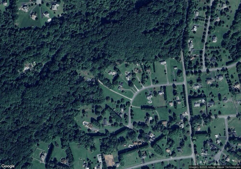
Map
Nearby Homes
- 176 Rowland Rd
- 278 N Main St
- 236 N Main St
- 145 Honeysuckle Dr
- 111 N Main St
- 52 Craig Ct
- 106 Rowland Dr
- 102 Rowland Dr Unit 101
- 84 Clematis Way
- 317 Rowland Dr
- 0 Liberty Grove Rd Unit MDCC2015324
- 18 S Main St
- 21 High St
- 12 Benjamin Park Dr
- TBD White Spruce Way
- 4 Brenda St
- TBD Rowland Dr
- TBD Pine Needle Ct
- 0 Waibel Rd
- 45 Franklin Dr
- 49 Franklin Dr
- 37 Franklin Dr
- 34 Franklin Dr
- 75 Franklin Dr
- 59 Franklin Dr
- 29 Franklin Dr
- 24 Franklin Dr
- 85 Franklin Dr
- 68 Franklin Dr
- 17 Franklin Dr
- 89 Franklin Dr
- 12 Franklin Dr
- 78 Franklin Dr
- 56 Franklin Dr
- 82 Franklin Dr
- 5 Franklin Dr
- 4 Franklin Dr
- 381 Liberty Grove Rd
- 369 Liberty Grove Rd