Estimated Value: $133,000 - $177,000
Studio
1
Bath
1,118
Sq Ft
$139/Sq Ft
Est. Value
About This Home
This home is located at 53 Jeff Dr, Jesup, GA 31545 and is currently estimated at $155,206, approximately $138 per square foot. 53 Jeff Dr is a home located in Wayne County with nearby schools including Bacon Elementary School, Martha Puckett Middle School, and Wayne County High School.
Ownership History
Date
Name
Owned For
Owner Type
Purchase Details
Closed on
Jun 1, 1999
Sold by
Scott Phillip H and Scott Shelly L
Bought by
Mccauley Darlene
Current Estimated Value
Purchase Details
Closed on
Nov 1, 1995
Bought by
Scott Phillip H and Scott Shelly L
Purchase Details
Closed on
Jul 1, 1992
Purchase Details
Closed on
Mar 1, 1990
Purchase Details
Closed on
Aug 1, 1988
Purchase Details
Closed on
Apr 1, 1985
Purchase Details
Closed on
Feb 1, 1984
Purchase Details
Closed on
Oct 1, 1980
Create a Home Valuation Report for This Property
The Home Valuation Report is an in-depth analysis detailing your home's value as well as a comparison with similar homes in the area
Purchase History
| Date | Buyer | Sale Price | Title Company |
|---|---|---|---|
| Mccauley Darlene | $74,300 | -- | |
| Scott Phillip H | $64,500 | -- | |
| -- | $57,000 | -- | |
| -- | $24,500 | -- | |
| -- | $37,000 | -- | |
| -- | $3,200 | -- | |
| -- | $2,000 | -- | |
| -- | -- | -- |
Source: Public Records
Tax History
| Year | Tax Paid | Tax Assessment Tax Assessment Total Assessment is a certain percentage of the fair market value that is determined by local assessors to be the total taxable value of land and additions on the property. | Land | Improvement |
|---|---|---|---|---|
| 2025 | $516 | $44,639 | $6,320 | $38,319 |
| 2024 | $469 | $43,347 | $6,320 | $37,027 |
| 2023 | $183 | $36,633 | $4,220 | $32,413 |
| 2022 | $376 | $30,174 | $4,220 | $25,954 |
| 2021 | $364 | $27,395 | $4,220 | $23,175 |
| 2020 | $390 | $28,029 | $4,854 | $23,175 |
| 2019 | $827 | $28,029 | $4,854 | $23,175 |
| 2018 | $827 | $28,029 | $4,854 | $23,175 |
| 2017 | $712 | $28,029 | $4,854 | $23,175 |
| 2016 | $689 | $28,029 | $4,854 | $23,175 |
| 2014 | $691 | $28,029 | $4,854 | $23,175 |
| 2013 | -- | $28,028 | $4,853 | $23,175 |
Source: Public Records
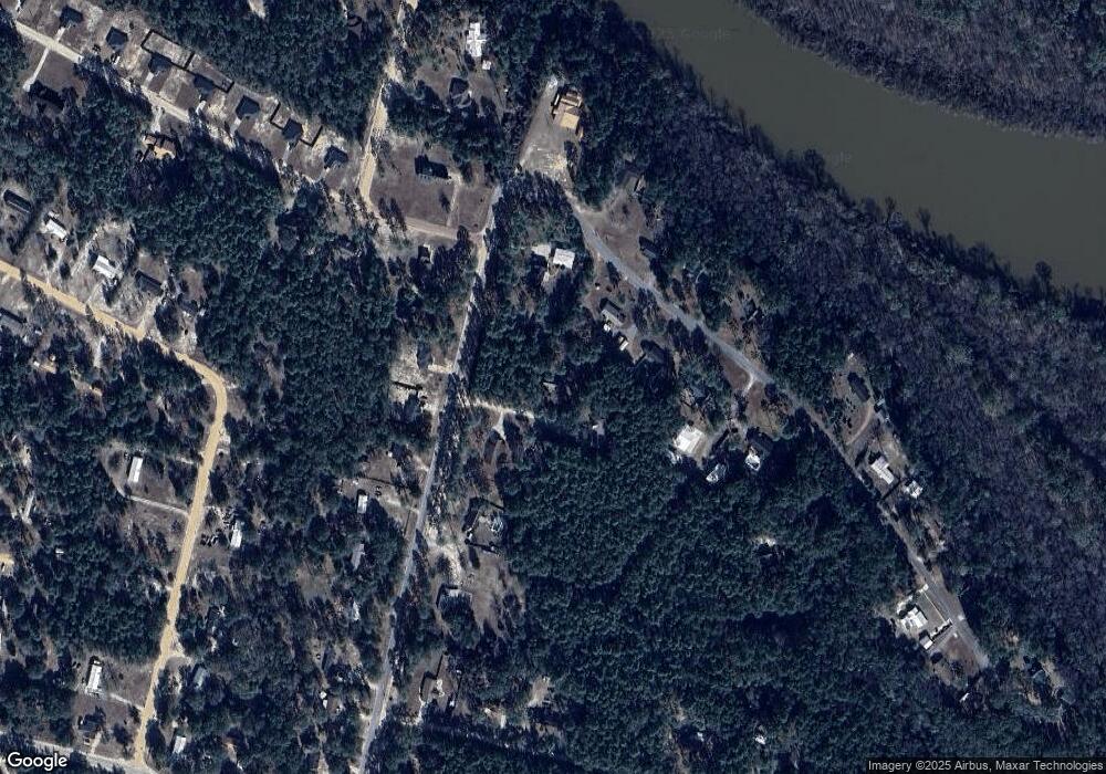
Map
Nearby Homes
- 650 Linden Dr
- 755 Bluff Rd
- 121 Kiowa Dr N
- 600 N Osceola Trace
- 837 Bluff Rd
- 450 Bluff Rd
- 106 Rodman Rd
- 931 River Ridge Cir
- 1814 Killingsworth Rd
- 404 River Ridge Cir
- 0000 Lakeview Dr
- 00 Lakeview Dr
- 391 Rodman Rd
- 629 Sierra Rd
- 0 Golf Rd
- 888 Altamaha Rd
- 0 Aspen Rd
- 0 Shrine Club Rd Unit 163602
- 370 Briarwood Rd
- 2 Altamaha Rd
- 352 Beth Dr
- 94 Beth Dr
- 132 Beth Dr
- 1436 Shrine Club Rd
- 1473 Shrine Club Rd
- 1445 Shrine Club Rd
- 1536 Shrine Club Rd
- 61 Jeff Dr
- 166 Beth Dr
- 1400 Shrine Club Rd
- 61 Beth Dr
- 000 Bluff Rd
- 1525 Shrine Club Rd
- 12 Linden Acres Lots 40-54 70-14
- 93 Beth Dr
- 1389 Shrine Club Rd
- 1389 Shrine Club Rd Unit 1
- 212 Beth Dr
- 75 Linden Dr
- 40 Linden Dr
Your Personal Tour Guide
Ask me questions while you tour the home.