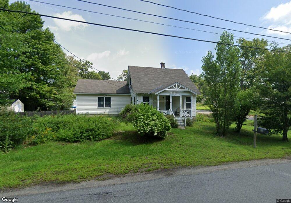
53 Manor Rd Concord, NH 03303
Penacook NeighborhoodEstimated Value: $382,626 - $442,000
3
Beds
2
Baths
1,317
Sq Ft
$313/Sq Ft
Est. Value
About This Home
This home is located at 53 Manor Rd, Concord, NH 03303 and is currently estimated at $412,157, approximately $312 per square foot. 53 Manor Rd is a home located in Merrimack County with nearby schools including Penacook Elementary School, Merrimack Valley Middle School, and Merrimack Valley High School.
Ownership History
Date
Name
Owned For
Owner Type
Purchase Details
Closed on
Jan 14, 2025
Sold by
Bryant Raymond E
Bought by
Bryant Cynthia M
Current Estimated Value
Purchase Details
Closed on
Aug 5, 1986
Bought by
Bryant Cynthia M and Bryant Raymond E
Create a Home Valuation Report for This Property
The Home Valuation Report is an in-depth analysis detailing your home's value as well as a comparison with similar homes in the area
Home Values in the Area
Average Home Value in this Area
Purchase History
| Date | Buyer | Sale Price | Title Company |
|---|---|---|---|
| Bryant Cynthia M | -- | None Available | |
| Bryant Cynthia M | -- | None Available | |
| Bryant Cynthia M | $61,500 | -- |
Source: Public Records
Mortgage History
| Date | Status | Borrower | Loan Amount |
|---|---|---|---|
| Previous Owner | Bryant Cynthia M | $144,969 | |
| Previous Owner | Bryant Cynthia M | $153,000 |
Source: Public Records
Tax History Compared to Growth
Tax History
| Year | Tax Paid | Tax Assessment Tax Assessment Total Assessment is a certain percentage of the fair market value that is determined by local assessors to be the total taxable value of land and additions on the property. | Land | Improvement |
|---|---|---|---|---|
| 2024 | $6,784 | $221,400 | $92,200 | $129,200 |
| 2023 | $6,454 | $221,400 | $92,200 | $129,200 |
| 2022 | $6,449 | $221,400 | $92,200 | $129,200 |
| 2021 | $6,173 | $220,700 | $92,200 | $128,500 |
| 2020 | $5,932 | $198,200 | $73,900 | $124,300 |
| 2019 | $5,681 | $166,600 | $67,300 | $99,300 |
| 2018 | $5,682 | $169,100 | $67,300 | $101,800 |
| 2017 | $5,437 | $160,300 | $64,000 | $96,300 |
| 2016 | $4,247 | $153,500 | $64,000 | $89,500 |
| 2015 | $4,845 | $147,100 | $61,900 | $85,200 |
| 2014 | $4,765 | $147,100 | $61,900 | $85,200 |
| 2013 | -- | $145,400 | $61,900 | $83,500 |
| 2012 | -- | $146,600 | $61,900 | $84,700 |
Source: Public Records
Map
Nearby Homes
- 59 Hobart St
- 70 Abbott Rd
- 139 Abbott Rd
- 13 Suffolk Rd Unit 5
- 13 Suffolk Rd Unit 6
- 13 Suffolk Rd Unit 3
- 13 Suffolk Rd Unit 4
- 13 Suffolk Rd Unit 8
- 9 Snow St
- 120 Fisherville Rd Unit 176
- 120 Fisherville Rd Unit 52
- 120 Fisherville Rd Unit 138
- 129 Fisherville Rd Unit 4
- 129 Fisherville Rd Unit 8
- 43 Woodbine Ave
- 4 Tanager Cir Unit 8
- 4 Tanager Cir Unit 7
- 4 Tanager Cir Unit 4
- 4 Tanager Cir Unit 3
- 4 Tanager Cir Unit 2