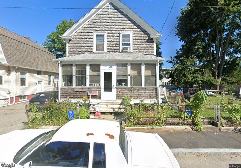
53 Maple Ave Riverside, RI 02915
Riverside NeighborhoodEstimated Value: $379,000 - $408,000
2
Beds
2
Baths
1,354
Sq Ft
$288/Sq Ft
Est. Value
About This Home
This home is located at 53 Maple Ave, Riverside, RI 02915 and is currently estimated at $389,778, approximately $287 per square foot. 53 Maple Ave is a home located in Providence County with nearby schools including East Providence High School, St Mary Academy-Bay View, and The Gordon School.
Ownership History
Date
Name
Owned For
Owner Type
Purchase Details
Closed on
May 11, 2022
Sold by
Macdonald Craig R
Bought by
Macdonald John J
Current Estimated Value
Purchase Details
Closed on
Aug 8, 2013
Sold by
Mcdonald Craig and Fnma
Bought by
Federal National Mortgage Association
Create a Home Valuation Report for This Property
The Home Valuation Report is an in-depth analysis detailing your home's value as well as a comparison with similar homes in the area
Home Values in the Area
Average Home Value in this Area
Purchase History
| Date | Buyer | Sale Price | Title Company |
|---|---|---|---|
| Macdonald John J | -- | None Available | |
| Macdonald John J | -- | None Available | |
| Federal National Mortgage Association | -- | -- | |
| Federal National Mortgage Association | -- | -- |
Source: Public Records
Mortgage History
| Date | Status | Borrower | Loan Amount |
|---|---|---|---|
| Previous Owner | Federal National Mortgage Association | $135,000 | |
| Previous Owner | Federal National Mortgage Association | $113,200 | |
| Previous Owner | Federal National Mortgage Association | $94,000 |
Source: Public Records
Tax History Compared to Growth
Tax History
| Year | Tax Paid | Tax Assessment Tax Assessment Total Assessment is a certain percentage of the fair market value that is determined by local assessors to be the total taxable value of land and additions on the property. | Land | Improvement |
|---|---|---|---|---|
| 2025 | $4,598 | $351,800 | $98,200 | $253,600 |
| 2024 | $3,978 | $259,500 | $81,900 | $177,600 |
| 2023 | $3,830 | $259,500 | $81,900 | $177,600 |
| 2022 | $3,725 | $170,400 | $53,900 | $116,500 |
| 2021 | $3,664 | $170,400 | $53,300 | $117,100 |
| 2020 | $3,509 | $170,400 | $53,300 | $117,100 |
| 2019 | $3,411 | $170,400 | $53,300 | $117,100 |
| 2018 | $3,334 | $145,700 | $53,500 | $92,200 |
| 2017 | $3,259 | $145,700 | $53,500 | $92,200 |
| 2016 | $3,243 | $145,700 | $53,500 | $92,200 |
| 2015 | $3,277 | $142,800 | $54,500 | $88,300 |
| 2014 | $3,277 | $142,800 | $54,500 | $88,300 |
Source: Public Records
Map
Nearby Homes
- 88 Lincoln Ave
- 1 Holly St
- 28 Burnside Ave
- 50 Washington Ave
- 129 Cedar Ave
- 87 Bluff St
- 45 Providence Ave
- 27 Main St
- 81 Sprague Ave
- 1 Sabin St
- 92 Halleck Ave
- 57 Harris St
- 25 Read St
- 43 Bullocks Point Ave Unit 4C
- 1 Fales St
- 31 Bullocks Point Ave Unit 2A
- 25 Bullocks Point Ave Unit 5C
- 25 Elinora St
- 26 Elinora St
- 536 Willett Ave