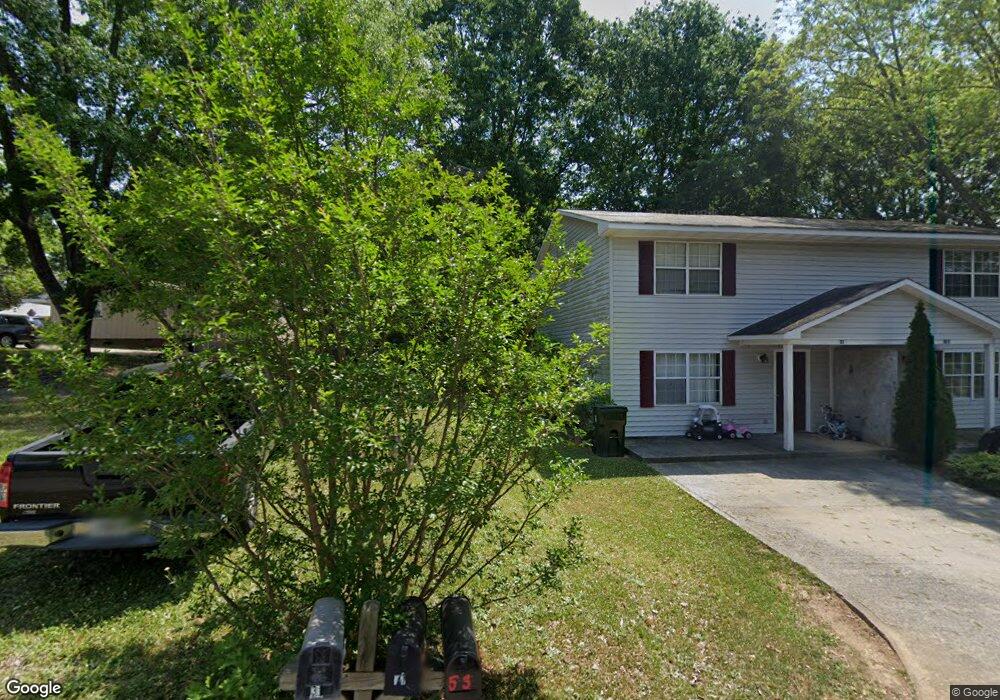
53 Moore Ave Toccoa, GA 30577
Estimated Value: $89,000 - $262,000
3
Beds
1
Bath
1,048
Sq Ft
$141/Sq Ft
Est. Value
About This Home
This home is located at 53 Moore Ave, Toccoa, GA 30577 and is currently estimated at $148,269, approximately $141 per square foot. 53 Moore Ave is a home with nearby schools including Stephens County High School.
Ownership History
Date
Name
Owned For
Owner Type
Purchase Details
Closed on
Mar 9, 2010
Sold by
Edenfield Darrell W
Bought by
Turnbaugh Martha F
Current Estimated Value
Home Financials for this Owner
Home Financials are based on the most recent Mortgage that was taken out on this home.
Original Mortgage
$41,836
Outstanding Balance
$27,440
Interest Rate
4.93%
Mortgage Type
New Conventional
Estimated Equity
$120,829
Purchase Details
Closed on
Apr 16, 2007
Sold by
Morris Mckinney A
Bought by
Edenfield Darrell W
Purchase Details
Closed on
Oct 29, 2001
Bought by
<Buyer Info Not Present>
Purchase Details
Closed on
Oct 1, 1995
Bought by
<Buyer Info Not Present>
Create a Home Valuation Report for This Property
The Home Valuation Report is an in-depth analysis detailing your home's value as well as a comparison with similar homes in the area
Purchase History
| Date | Buyer | Sale Price | Title Company |
|---|---|---|---|
| Turnbaugh Martha F | $41,000 | -- | |
| Turnbaugh Martha F | $41,000 | -- | |
| Edenfield Darrell W | $28,000 | -- | |
| <Buyer Info Not Present> | $28,500 | -- | |
| <Buyer Info Not Present> | -- | -- |
Source: Public Records
Mortgage History
| Date | Status | Borrower | Loan Amount |
|---|---|---|---|
| Open | Turnbaugh Martha F | $41,836 | |
| Closed | Turnbaugh Martha F | $41,836 |
Source: Public Records
Tax History
| Year | Tax Paid | Tax Assessment Tax Assessment Total Assessment is a certain percentage of the fair market value that is determined by local assessors to be the total taxable value of land and additions on the property. | Land | Improvement |
|---|---|---|---|---|
| 2025 | $86 | $24,997 | $1,504 | $23,493 |
| 2024 | $86 | $16,584 | $1,504 | $15,080 |
| 2023 | $86 | $15,402 | $1,504 | $13,898 |
| 2022 | $372 | $10,506 | $1,504 | $9,002 |
| 2021 | $363 | $9,742 | $1,504 | $8,238 |
| 2020 | $363 | $9,658 | $1,504 | $8,154 |
| 2019 | $364 | $9,646 | $1,504 | $8,142 |
| 2018 | $0 | $9,646 | $1,504 | $8,142 |
| 2017 | $0 | $9,646 | $1,504 | $8,142 |
| 2016 | -- | $9,645 | $1,504 | $8,141 |
| 2015 | -- | $9,475 | $1,504 | $7,971 |
| 2014 | $455 | $13,464 | $1,504 | $11,960 |
| 2013 | -- | $13,464 | $1,504 | $11,960 |
Source: Public Records
Map
Nearby Homes
- 30 Moore Ave
- 59 Sunset Ln
- 9 Poplar St
- 128 Branch St
- 714 E Currahee St
- 614 616 S Pond St
- 27 Hilltop Ln
- 478 S Pond St
- 500 S Pond St
- 84 Park St
- 320 S Pond St
- 53 Cole Manor Dr
- 109 Schaefer Ct
- 0 Hwy 17 Alt Unit 10577119
- 132 Queen St
- 239 E Doyle St
- 122 King St
- 229 Hilltop Ln
- 574 S Sage St
- 259 E Currahee St
Your Personal Tour Guide
Ask me questions while you tour the home.