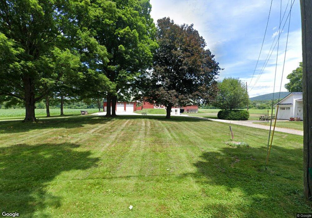
53 Munns Ferry Rd Gill, MA 01354
Gill NeighborhoodEstimated Value: $329,000 - $2,274,788
3
Beds
1
Bath
1,700
Sq Ft
$548/Sq Ft
Est. Value
About This Home
This home is located at 53 Munns Ferry Rd, Gill, MA 01354 and is currently estimated at $931,697, approximately $548 per square foot. 53 Munns Ferry Rd is a home located in Franklin County with nearby schools including Full Circle School.
Ownership History
Date
Name
Owned For
Owner Type
Purchase Details
Closed on
Oct 21, 2009
Sold by
Urgiel Rudolf F and Urgiel Rosemary E
Bought by
Cotter Patrick M and Cotter Natasha G
Current Estimated Value
Home Financials for this Owner
Home Financials are based on the most recent Mortgage that was taken out on this home.
Original Mortgage
$750,000
Outstanding Balance
$489,988
Interest Rate
5.09%
Mortgage Type
Commercial
Estimated Equity
$441,709
Create a Home Valuation Report for This Property
The Home Valuation Report is an in-depth analysis detailing your home's value as well as a comparison with similar homes in the area
Home Values in the Area
Average Home Value in this Area
Purchase History
| Date | Buyer | Sale Price | Title Company |
|---|---|---|---|
| Cotter Patrick M | $1,000,000 | -- |
Source: Public Records
Mortgage History
| Date | Status | Borrower | Loan Amount |
|---|---|---|---|
| Open | Cotter Patrick M | $750,000 |
Source: Public Records
Tax History Compared to Growth
Tax History
| Year | Tax Paid | Tax Assessment Tax Assessment Total Assessment is a certain percentage of the fair market value that is determined by local assessors to be the total taxable value of land and additions on the property. | Land | Improvement |
|---|---|---|---|---|
| 2025 | $5,020 | $342,432 | $72,632 | $269,800 |
| 2024 | $4,854 | $313,544 | $66,144 | $247,400 |
| 2023 | $4,968 | $289,325 | $60,225 | $229,100 |
| 2022 | $4,968 | $298,218 | $69,118 | $229,100 |
| 2021 | $4,879 | $282,197 | $67,797 | $214,400 |
| 2020 | $4,821 | $279,497 | $67,797 | $211,700 |
| 2019 | $4,537 | $262,883 | $64,883 | $198,000 |
| 2018 | $4,273 | $248,741 | $64,541 | $184,200 |
| 2017 | $4,152 | $250,433 | $66,033 | $184,400 |
| 2016 | $4,312 | $255,882 | $78,182 | $177,700 |
| 2015 | $3,927 | $233,077 | $78,177 | $154,900 |
Source: Public Records
Map
Nearby Homes
- 0 Meadow View Ln & Pine Meadow
- 104 S Mountain Rd
- 294 Capt Beers Plain Rd
- 12 Parker Ave Unit 1
- 22 Old Turnpike Rd
- 94 Main St
- 182 Main Rd
- 0 State Rd
- 2 Pisgah Mountain Rd
- 23 Industrial Dr
- 1 Northfield Rd
- 181 Main St
- 180 Bald Mountain Rd
- 59 River St
- 47 Cross St
- 0 Old Farley Rd
- 14 Wood Way
- 75 South St Unit 3
- 719 Mount Hermon Station Rd
- Lots 1-4 Kavanaugh Ln
- 31 Munns Ferry Rd
- 70 Munns Ferry Rd
- 36 Munns Ferry Rd
- 22 Munns Ferry Rd
- 10 Munns Ferry Rd
- 8 Grout Rd
- 477 Main Rd
- 475 Main Rd
- 464 Main Rd
- 4 Munns Ferry Rd
- 481 Main Rd
- 32 Munns Ferry Rd
- 0 Main Rd Unit 30016776
- 664 Millers Falls Rd
- 8 Munns Ferry Rd
- 8 Munns Ferry Rd Unit A
- 457 Main Rd
- 740 Millers Falls Rd
- 746 Millers Falls Rd
- 497 Main Rd