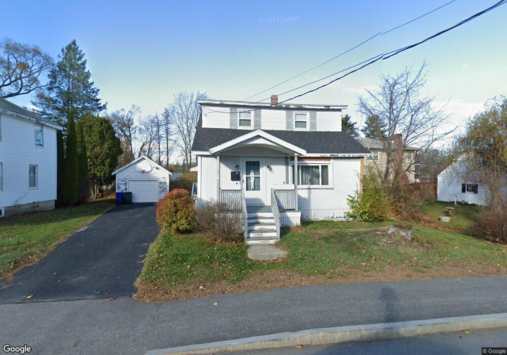
53 New Gorham Rd Westbrook, ME 04092
Estimated Value: $380,719 - $393,000
2
Beds
2
Baths
1,513
Sq Ft
$255/Sq Ft
Est. Value
About This Home
This home is located at 53 New Gorham Rd, Westbrook, ME 04092 and is currently estimated at $385,680, approximately $254 per square foot. 53 New Gorham Rd is a home located in Cumberland County with nearby schools including Westbrook High School, The Little Dolphin School Foundation, and Breakwater School.
Ownership History
Date
Name
Owned For
Owner Type
Purchase Details
Closed on
Jun 7, 2024
Sold by
Anngato Kimberly
Bought by
Ronfeldt Brandon D
Current Estimated Value
Home Financials for this Owner
Home Financials are based on the most recent Mortgage that was taken out on this home.
Original Mortgage
$191,200
Outstanding Balance
$188,523
Interest Rate
7.22%
Mortgage Type
Purchase Money Mortgage
Estimated Equity
$197,157
Purchase Details
Closed on
Dec 4, 2020
Sold by
Roast Mary K
Bought by
Ronfeldt Brandon F and Ronfeldt Kimberly A
Home Financials for this Owner
Home Financials are based on the most recent Mortgage that was taken out on this home.
Original Mortgage
$199,500
Interest Rate
2.8%
Mortgage Type
New Conventional
Create a Home Valuation Report for This Property
The Home Valuation Report is an in-depth analysis detailing your home's value as well as a comparison with similar homes in the area
Home Values in the Area
Average Home Value in this Area
Purchase History
| Date | Buyer | Sale Price | Title Company |
|---|---|---|---|
| Ronfeldt Brandon D | -- | None Available | |
| Ronfeldt Brandon D | -- | None Available | |
| Ronfeldt Brandon F | -- | None Available | |
| Ronfeldt Brandon F | -- | None Available |
Source: Public Records
Mortgage History
| Date | Status | Borrower | Loan Amount |
|---|---|---|---|
| Open | Ronfeldt Brandon D | $191,200 | |
| Closed | Ronfeldt Brandon D | $191,200 | |
| Previous Owner | Ronfeldt Brandon F | $199,500 |
Source: Public Records
Tax History Compared to Growth
Tax History
| Year | Tax Paid | Tax Assessment Tax Assessment Total Assessment is a certain percentage of the fair market value that is determined by local assessors to be the total taxable value of land and additions on the property. | Land | Improvement |
|---|---|---|---|---|
| 2023 | $3,478 | $208,500 | $81,500 | $127,000 |
| 2022 | $3,146 | $173,800 | $68,000 | $105,800 |
| 2021 | $3,099 | $173,800 | $68,000 | $105,800 |
| 2020 | $3,104 | $173,800 | $68,000 | $105,800 |
| 2019 | $3,104 | $173,800 | $68,000 | $105,800 |
| 2018 | $2,454 | $146,400 | $59,100 | $87,300 |
| 2017 | $2,764 | $146,400 | $59,100 | $87,300 |
| 2016 | $2,694 | $146,400 | $59,100 | $87,300 |
| 2015 | $2,629 | $146,400 | $59,100 | $87,300 |
| 2014 | $2,518 | $146,400 | $59,100 | $87,300 |
| 2013 | $2,518 | $146,400 | $59,100 | $87,300 |
Source: Public Records
Map
Nearby Homes
- 25 William St
- 48 Longfellow St
- 115 Saco St Unit 12
- 115 Saco St Unit 2
- 36 Arlington Ave
- 17 Mechanic St
- 77 Mechanic St
- 38 Palmer St
- 30 Palmer St
- 212 New Gorham Rd
- 20 Juniper Ln Unit 31
- 124 Brackett St
- 13 Merganser St
- 280 Longfellow St Unit 17
- 280 Longfellow St Unit 9
- 184 Central St
- 315 Conant St
- 159 Lincoln St Unit 15
- 10 Nicklaus Ln
- 18 Cole St
- 61 New Gorham Rd
- 14 Fairlawn Ave
- 18 Fairlawn Ave
- 9 William St
- 43 New Gorham Rd
- 0 William
- 54 New Gorham Rd
- 17 William St
- Lot 53C Fairlawn Ave
- Lot 53B Fairlawn Ave
- 17 Fairlawn Ave
- 13 Fairlawn St
- 15 Fairlawn Ave
- 71 Longfellow St
- 19 Fairlawn Ave
- 16 William St
- 75 Longfellow St
- 64 New Gorham Rd
- 13 Fairlawn Ave