53 Paugus Rd Holderness, NH 03245
Estimated Value: $1,790,000 - $4,396,205
4
Beds
3
Baths
3,076
Sq Ft
$1,006/Sq Ft
Est. Value
About This Home
This home is located at 53 Paugus Rd, Holderness, NH 03245 and is currently estimated at $3,093,103, approximately $1,005 per square foot. 53 Paugus Rd is a home with nearby schools including Holderness Central School and Plymouth Regional High School.
Ownership History
Date
Name
Owned For
Owner Type
Purchase Details
Closed on
Feb 3, 2014
Sold by
Tilney Sheldon and Harrity Gail M
Bought by
Benson Woodworking Co
Current Estimated Value
Purchase Details
Closed on
Mar 20, 2007
Sold by
Webster Peter T and Webster Andrew L
Bought by
Tilney Sheldon
Create a Home Valuation Report for This Property
The Home Valuation Report is an in-depth analysis detailing your home's value as well as a comparison with similar homes in the area
Home Values in the Area
Average Home Value in this Area
Purchase History
| Date | Buyer | Sale Price | Title Company |
|---|---|---|---|
| Benson Woodworking Co | $1,400,000 | -- | |
| Benson Woodworking Co | $1,400,000 | -- | |
| Tilney Sheldon | $1,400,000 | -- | |
| Tilney Sheldon | $1,400,000 | -- |
Source: Public Records
Mortgage History
| Date | Status | Borrower | Loan Amount |
|---|---|---|---|
| Closed | Tilney Sheldon | $0 |
Source: Public Records
Tax History
| Year | Tax Paid | Tax Assessment Tax Assessment Total Assessment is a certain percentage of the fair market value that is determined by local assessors to be the total taxable value of land and additions on the property. | Land | Improvement |
|---|---|---|---|---|
| 2025 | $34,170 | $3,627,352 | $2,685,752 | $941,600 |
| 2024 | $48,779 | $5,639,200 | $4,697,600 | $941,600 |
| 2023 | $48,441 | $5,639,200 | $4,697,600 | $941,600 |
| 2022 | $37,013 | $3,298,800 | $2,597,500 | $701,300 |
| 2021 | $25,830 | $2,283,826 | $1,582,526 | $701,300 |
| 2020 | $19,145 | $1,409,764 | $907,764 | $502,000 |
| 2019 | $18,568 | $1,409,878 | $907,878 | $502,000 |
| 2018 | $18,144 | $1,409,817 | $907,817 | $502,000 |
| 2017 | $18,133 | $1,278,780 | $811,180 | $467,600 |
| 2016 | $18,133 | $1,278,780 | $811,180 | $467,600 |
| 2015 | $18,133 | $1,278,780 | $811,180 | $467,600 |
| 2014 | $3,259 | $226,600 | $1,300 | $225,300 |
| 2011 | $16,859 | $1,281,100 | $1,281,100 | $0 |
Source: Public Records
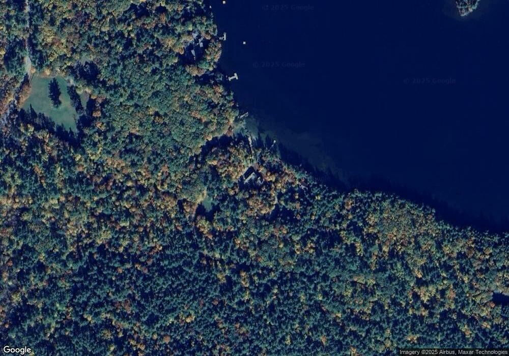
Map
Nearby Homes
- 20 Circle Dr Unit 43
- 0 Route 3 Unit 5073061
- 206 High Country Way Unit (aka Unit 100)
- 265 High Country Way Unit 116
- 7 Ledges Rd Unit (aka Unit 79)
- 34 Upper Meadows Rd Unit (aka Unit 85)
- 93 High Country Way Unit (aka Unit 42)
- 53 Bay Dr
- 11 Sebec Rd
- 88 Perch Pond Rd
- 85 Portage Pass
- 283 River St
- 67 Kline Rd
- 0 Hicks Hill Rd Unit 5078588
- 373 New Hampshire Route 175
- 148 Sargent Rd
- 121 Riverside Dr
- 9 Kelsea Ave
- 8 Avery Rd
- 40 Highland St
Your Personal Tour Guide
Ask me questions while you tour the home.