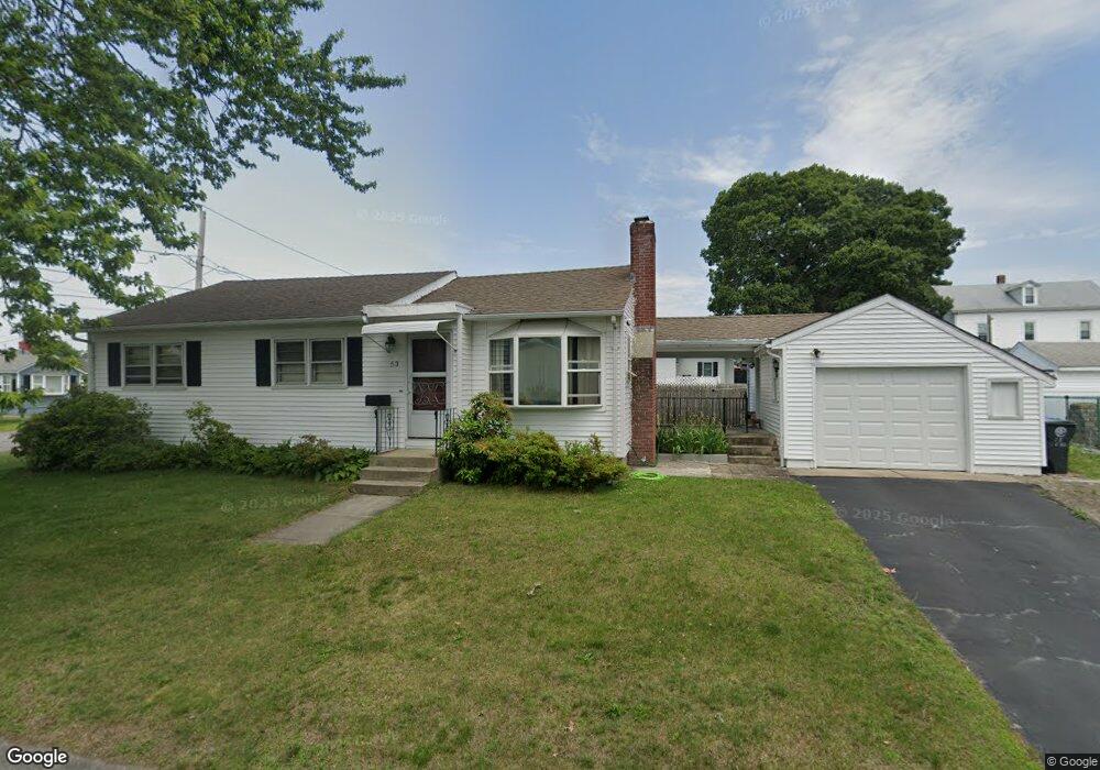
53 Pond St Cranston, RI 02910
Auburn NeighborhoodEstimated Value: $359,948 - $379,000
3
Beds
1
Bath
1,020
Sq Ft
$362/Sq Ft
Est. Value
About This Home
This home is located at 53 Pond St, Cranston, RI 02910 and is currently estimated at $368,987, approximately $361 per square foot. 53 Pond St is a home located in Providence County with nearby schools including W. R. Dutemple School, Park View Middle School, and Cranston High School East.
Ownership History
Date
Name
Owned For
Owner Type
Purchase Details
Closed on
Oct 7, 1992
Sold by
Driscoll Dennis F and Criscoll Diane
Bought by
Leung Ting Chua and Leung Fung
Current Estimated Value
Home Financials for this Owner
Home Financials are based on the most recent Mortgage that was taken out on this home.
Original Mortgage
$80,800
Interest Rate
7.99%
Create a Home Valuation Report for This Property
The Home Valuation Report is an in-depth analysis detailing your home's value as well as a comparison with similar homes in the area
Home Values in the Area
Average Home Value in this Area
Purchase History
| Date | Buyer | Sale Price | Title Company |
|---|---|---|---|
| Leung Ting Chua | $95,000 | -- |
Source: Public Records
Mortgage History
| Date | Status | Borrower | Loan Amount |
|---|---|---|---|
| Closed | Leung Ting Chua | $80,800 |
Source: Public Records
Tax History
| Year | Tax Paid | Tax Assessment Tax Assessment Total Assessment is a certain percentage of the fair market value that is determined by local assessors to be the total taxable value of land and additions on the property. | Land | Improvement |
|---|---|---|---|---|
| 2025 | $4,053 | $292,000 | $97,200 | $194,800 |
| 2024 | $3,974 | $292,000 | $97,200 | $194,800 |
| 2023 | $3,944 | $208,700 | $67,000 | $141,700 |
| 2022 | $3,863 | $208,700 | $67,000 | $141,700 |
| 2021 | $3,757 | $208,700 | $67,000 | $141,700 |
| 2020 | $3,562 | $171,500 | $63,700 | $107,800 |
| 2019 | $3,562 | $171,500 | $63,700 | $107,800 |
| 2018 | $3,480 | $171,500 | $63,700 | $107,800 |
| 2017 | $3,175 | $138,400 | $46,900 | $91,500 |
| 2016 | $3,107 | $138,400 | $46,900 | $91,500 |
| 2015 | $3,107 | $138,400 | $46,900 | $91,500 |
| 2014 | $3,042 | $133,200 | $46,900 | $86,300 |
Source: Public Records
Map
Nearby Homes
- 84 N Clarendon St
- 80 N Clarendon St
- 243 Doric Ave
- 96 N Clarendon St
- 239 Doric Ave
- 83 N Clarendon St
- 233 Doric Ave
- 253 Doric Ave
- 74 N Clarendon St
- 66 Pond St
- 77 N Clarendon St
- 257 Doric Ave
- 70 N Clarendon St
- 67 Pond St
- 229 Doric Ave
- 75 N Clarendon St
- 261 Doric Ave
- 66 N Clarendon St
- 71 N Clarendon St
- 221 Doric Ave
Your Personal Tour Guide
Ask me questions while you tour the home.