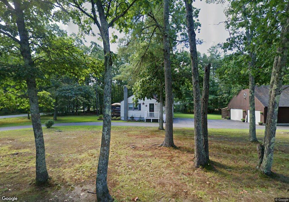
53 Pudding Hill Rd Madbury, NH 03823
Estimated Value: $372,733 - $644,000
2
Beds
1
Bath
768
Sq Ft
$649/Sq Ft
Est. Value
About This Home
This home is located at 53 Pudding Hill Rd, Madbury, NH 03823 and is currently estimated at $498,683, approximately $649 per square foot. 53 Pudding Hill Rd is a home located in Strafford County with nearby schools including Moharimet School, Oyster River Middle School, and Oyster River High School.
Ownership History
Date
Name
Owned For
Owner Type
Purchase Details
Closed on
Aug 18, 2008
Sold by
Williams Jacqueline
Bought by
Lowell Kevin M and Shore Heather
Current Estimated Value
Home Financials for this Owner
Home Financials are based on the most recent Mortgage that was taken out on this home.
Original Mortgage
$176,782
Interest Rate
6.4%
Mortgage Type
Purchase Money Mortgage
Create a Home Valuation Report for This Property
The Home Valuation Report is an in-depth analysis detailing your home's value as well as a comparison with similar homes in the area
Home Values in the Area
Average Home Value in this Area
Purchase History
| Date | Buyer | Sale Price | Title Company |
|---|---|---|---|
| Lowell Kevin M | $180,000 | -- |
Source: Public Records
Mortgage History
| Date | Status | Borrower | Loan Amount |
|---|---|---|---|
| Open | Lowell Kevin M | $177,956 | |
| Closed | Lowell Kevin M | $176,782 |
Source: Public Records
Tax History
| Year | Tax Paid | Tax Assessment Tax Assessment Total Assessment is a certain percentage of the fair market value that is determined by local assessors to be the total taxable value of land and additions on the property. | Land | Improvement |
|---|---|---|---|---|
| 2025 | $7,111 | $396,400 | $199,400 | $197,000 |
| 2024 | $6,620 | $226,800 | $109,800 | $117,000 |
| 2023 | $6,117 | $226,800 | $109,800 | $117,000 |
| 2022 | $5,731 | $226,800 | $109,800 | $117,000 |
| 2021 | $5,761 | $226,800 | $109,800 | $117,000 |
| 2020 | $5,727 | $226,800 | $109,800 | $117,000 |
| 2019 | $5,473 | $183,300 | $90,300 | $93,000 |
| 2018 | $5,270 | $183,300 | $90,300 | $93,000 |
| 2017 | $5,270 | $183,300 | $90,300 | $93,000 |
| 2016 | $5,241 | $183,300 | $90,300 | $93,000 |
| 2015 | $5,059 | $183,300 | $90,300 | $93,000 |
| 2014 | $4,996 | $194,400 | $104,700 | $89,700 |
| 2013 | $5,028 | $199,200 | $104,700 | $94,500 |
Source: Public Records
Map
Nearby Homes
- 5 Hemlock Forest
- 320 Knox Marsh Rd
- 12 Zeland Dr
- 88 Mast Rd
- 53-55 Cataract Ave
- 13 Spruce Dr
- 140 Madbury Rd
- 59 Bucks Hill Rd
- 30 Old Stage Rd
- 0 Beech Hill Rd Unit 201-02-0-0-0,204-10-
- 31 Rosanna Dr
- 20 Lenox Dr Unit c
- 26 Lenox Dr Unit D
- 29 Lenox Dr Unit B
- 16 Lenox Dr Unit C
- 21 Lenox Dr Unit A
- 22 Lenox Dr Unit D
- 25 Lenox Dr Unit A
- 17 Lenox Dr Unit A
- 15 Lenox Dr Unit A
Your Personal Tour Guide
Ask me questions while you tour the home.