53 River Knoll Ct Dahlonega, GA 30533
Estimated Value: $734,000 - $1,356,000
--
Bed
6
Baths
4,564
Sq Ft
$208/Sq Ft
Est. Value
About This Home
This home is located at 53 River Knoll Ct, Dahlonega, GA 30533 and is currently estimated at $949,400, approximately $208 per square foot. 53 River Knoll Ct is a home located in Lumpkin County with nearby schools including Clay County Middle School and Lumpkin County High School.
Ownership History
Date
Name
Owned For
Owner Type
Purchase Details
Closed on
Jan 2, 2019
Sold by
Smith Rumsey Lauren Britteny
Bought by
Smith David
Current Estimated Value
Purchase Details
Closed on
Oct 9, 2009
Sold by
Smith David
Bought by
Smith David
Purchase Details
Closed on
Dec 7, 2006
Sold by
Not Provided
Bought by
Smith David and Smith Lauren B
Purchase Details
Closed on
Mar 22, 1999
Sold by
Graaves Dorsey G
Bought by
Welch Jeff
Purchase Details
Closed on
May 1, 1986
Bought by
Graaves Dorsey G
Create a Home Valuation Report for This Property
The Home Valuation Report is an in-depth analysis detailing your home's value as well as a comparison with similar homes in the area
Home Values in the Area
Average Home Value in this Area
Purchase History
| Date | Buyer | Sale Price | Title Company |
|---|---|---|---|
| Smith David | -- | -- | |
| Smith David | -- | -- | |
| Smith David | -- | -- | |
| Smith David | -- | -- | |
| Smith David | $845,000 | -- | |
| Welch Jeff | $53,200 | -- | |
| Graaves Dorsey G | -- | -- |
Source: Public Records
Tax History Compared to Growth
Tax History
| Year | Tax Paid | Tax Assessment Tax Assessment Total Assessment is a certain percentage of the fair market value that is determined by local assessors to be the total taxable value of land and additions on the property. | Land | Improvement |
|---|---|---|---|---|
| 2024 | $3,565 | $275,128 | $85,200 | $189,928 |
| 2023 | $3,327 | $264,538 | $85,200 | $179,338 |
| 2022 | $2,119 | $189,229 | $42,420 | $146,809 |
| 2021 | $4,793 | $189,229 | $42,420 | $146,809 |
| 2020 | $4,939 | $189,229 | $42,420 | $146,809 |
| 2019 | $6,142 | $232,727 | $42,420 | $190,307 |
| 2018 | $5,929 | $210,980 | $42,420 | $168,560 |
| 2017 | $5,988 | $208,993 | $42,420 | $166,573 |
| 2016 | $5,852 | $197,677 | $42,420 | $155,257 |
| 2015 | $5,187 | $197,677 | $42,420 | $155,257 |
| 2014 | $5,187 | $198,769 | $42,420 | $156,349 |
| 2013 | -- | $201,454 | $42,420 | $159,034 |
Source: Public Records
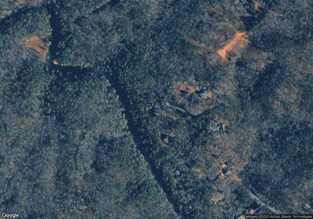
Map
Nearby Homes
- 0 Horseshoe Bend Rd Unit 10571975
- 0 Horseshoe Bend Rd Unit 7620338
- 925 Horseshoe Bend Rd
- 124 Candy Man Ln
- 1063 Grindle Bridge Rd
- 16 Welch Cir
- 134 Elkmont Dr
- 133 Elkmont Dr
- 64 Highview Ln
- 2717 Damascus Church Rd
- 349 Hester Rd
- 1437 Porter Springs Rd
- 313 Hester Rd
- 651 Hester Rd
- 748 Damascus Church Rd
- 412 Fireside Ridge Dr
- 45 Chestatee River Ridge
- 773 Rivermist Dr
- 853 Rivermist Dr
- 679 Rivermist Dr Unit B6
- 679 Rivermist Dr
- 852 Rivermist Dr
- 661 Rivermist Dr
- 615 Rivermist Dr
- 591 Rivermist Dr
- 631 Frogtown Rd
- 626 Rivermist Dr
- 487 Rivermist Dr
- 267 Bayberry Ln
- 629 Frogtown Rd
- LOT 12 Rivermist
- 453 Rivermist Dr
- 286 Ribbit Rd
- 446 White Pine Dr
- 587 White Pine Dr
- 356 Rivermist Dr
- 285 Horseshoe Ln