53 S Maple Rd Branch, MI 49402
Estimated Value: $356,000 - $525,000
6
Beds
3
Baths
1,800
Sq Ft
$245/Sq Ft
Est. Value
About This Home
This home is located at 53 S Maple Rd, Branch, MI 49402 and is currently estimated at $440,675, approximately $244 per square foot. 53 S Maple Rd is a home located in Mason County with nearby schools including Scottville Elementary School, Mason County Central Upper Elementary School, and Mason County Central Middle School.
Ownership History
Date
Name
Owned For
Owner Type
Purchase Details
Closed on
Jan 6, 2026
Sold by
Diekevers Thomas and Diekevers Patti
Bought by
Diekevers Thomas and Diekevers Patti
Current Estimated Value
Purchase Details
Closed on
May 19, 2016
Sold by
Palmitier Jeff L and Palmitier Tammie
Bought by
Diekevers Joseph L and Diekevers Kristin Ashley
Home Financials for this Owner
Home Financials are based on the most recent Mortgage that was taken out on this home.
Original Mortgage
$209,600
Interest Rate
3.59%
Mortgage Type
New Conventional
Purchase Details
Closed on
Sep 22, 2008
Sold by
Palmitier Scott and Palmitier Lisa
Bought by
Palmitter Jeffrey and Palmitter Tammie
Purchase Details
Closed on
Sep 1, 1999
Create a Home Valuation Report for This Property
The Home Valuation Report is an in-depth analysis detailing your home's value as well as a comparison with similar homes in the area
Purchase History
| Date | Buyer | Sale Price | Title Company |
|---|---|---|---|
| Diekevers Thomas | -- | None Listed On Document | |
| Diekevers Joseph L | $262,000 | Linear Title & Closing | |
| Palmitter Jeffrey | -- | None Available | |
| -- | $219,500 | -- |
Source: Public Records
Mortgage History
| Date | Status | Borrower | Loan Amount |
|---|---|---|---|
| Previous Owner | Diekevers Joseph L | $209,600 |
Source: Public Records
Tax History
| Year | Tax Paid | Tax Assessment Tax Assessment Total Assessment is a certain percentage of the fair market value that is determined by local assessors to be the total taxable value of land and additions on the property. | Land | Improvement |
|---|---|---|---|---|
| 2025 | $4,242 | $247,000 | $247,000 | $0 |
| 2024 | -- | $223,700 | $223,700 | $0 |
| 2023 | -- | $183,000 | $183,000 | $0 |
| 2021 | $27 | $153,600 | $0 | $0 |
| 2020 | $27 | $141,000 | $0 | $0 |
Source: Public Records
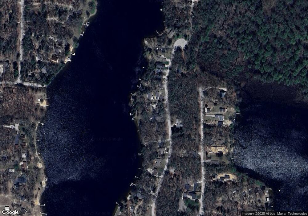
Map
Nearby Homes
- 203 S Maple Rd
- 9554 Highway 10 NW
- 7832 U S 10
- 7801 E Navajo Trail
- 520 N Campbell Rd
- 8570 U S 10
- 1754 Maggie St
- 1820 S Reid Rd
- 0 N Tyndall Rd
- V/L 1.47A N Tallman Lake Rd
- V L 1 47a North Tallman Lake Rd
- 2261 N Tallman Lake Rd
- V/L 20A N Campbell Rd
- 2258 N Schoenherr Rd
- 8747 E Kinney Rd
- 4185 N Taylor Rd
- V L 20a N Campbell Rd
- 6270 S Woods Trail
- Lot 108 Stella St
- 2866 N Reek Rd
- 85 S Maple Rd
- 31 S Maple Rd
- 21 S Maple Rd
- 60 S Maple Rd
- 5 S Maple Rd
- 99 S Maple Rd
- 23 S Emerson Lake Rd
- 7 N Maple Rd
- 105 S Emerson Lake Dr
- 105 S Emerson Lake Dr
- 9 S Emerson Lake Rd
- 115 S Maple Rd
- 87 S Emerson Lake Dr
- 11 N Maple Rd
- 37 S Maple Rd
- 23 N Maple Rd
- 24 N Maple Rd
- 28 S Maple Rd
- V/L S Emerson Lake Rd
- 194 S Emerson Lake Rd
Your Personal Tour Guide
Ask me questions while you tour the home.