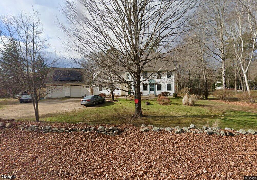
53 Times Farm Rd Andover, CT 06232
Estimated Value: $402,000 - $558,000
5
Beds
4
Baths
2,372
Sq Ft
$201/Sq Ft
Est. Value
About This Home
This home is located at 53 Times Farm Rd, Andover, CT 06232 and is currently estimated at $476,824, approximately $201 per square foot. 53 Times Farm Rd is a home located in Tolland County with nearby schools including Andover Elementary School, RHAM Middle School, and RHAM High School.
Ownership History
Date
Name
Owned For
Owner Type
Purchase Details
Closed on
May 16, 1996
Sold by
Crossen Builders
Bought by
Kauffman Ricky and Kauffman Ann
Current Estimated Value
Home Financials for this Owner
Home Financials are based on the most recent Mortgage that was taken out on this home.
Original Mortgage
$104,800
Interest Rate
7.77%
Mortgage Type
Unknown
Create a Home Valuation Report for This Property
The Home Valuation Report is an in-depth analysis detailing your home's value as well as a comparison with similar homes in the area
Home Values in the Area
Average Home Value in this Area
Purchase History
| Date | Buyer | Sale Price | Title Company |
|---|---|---|---|
| Kauffman Ricky | $131,200 | -- | |
| Kauffman Ricky | $131,200 | -- |
Source: Public Records
Mortgage History
| Date | Status | Borrower | Loan Amount |
|---|---|---|---|
| Open | Kauffman Ricky | $80,000 | |
| Closed | Kauffman Ricky | $48,000 | |
| Closed | Kauffman Ricky | $105,000 | |
| Closed | Kauffman Ricky | $104,800 |
Source: Public Records
Tax History Compared to Growth
Tax History
| Year | Tax Paid | Tax Assessment Tax Assessment Total Assessment is a certain percentage of the fair market value that is determined by local assessors to be the total taxable value of land and additions on the property. | Land | Improvement |
|---|---|---|---|---|
| 2025 | $6,943 | $219,800 | $35,840 | $183,960 |
| 2024 | $6,915 | $219,800 | $35,840 | $183,960 |
| 2023 | $6,878 | $219,800 | $35,840 | $183,960 |
| 2022 | $6,976 | $218,610 | $35,840 | $182,770 |
| 2021 | $6,995 | $194,300 | $46,300 | $148,000 |
| 2020 | $6,965 | $195,600 | $46,300 | $149,300 |
| 2019 | $6,844 | $195,600 | $46,300 | $149,300 |
| 2018 | $6,641 | $195,600 | $46,300 | $149,300 |
| 2017 | $6,357 | $195,600 | $46,300 | $149,300 |
| 2016 | $6,589 | $214,500 | $46,300 | $168,200 |
| 2015 | $6,589 | $214,500 | $46,300 | $168,200 |
| 2014 | $6,589 | $214,500 | $46,300 | $168,200 |
Source: Public Records
Map
Nearby Homes
- 0 Skinner Hill Rd Unit 24077239
- 38 John Paul Ln
- 53 Skinner Hill Rd
- 34 Hanover Farms Rd
- 105 School Rd
- 40 Wheeling Rd
- 126 Hebron Rd
- 0 Wheeling Rd Unit 24116879
- 78 Bear Swamp Rd
- 217 Hebron Rd
- 687 Hop River Rd
- 0 Us Highway 6
- 9 Tumblebrook Rd
- 0 Boston Turnpike Unit 24128587
- 273 Hebron Rd
- 1 West St
- 124 Notch Rd
- 54 Wolf Hill Rd Unit TBB
- 30 Tolland Rd
- 29 Lyman Rd
- 61 Times Farm Rd
- 59 Times Farm Rd
- 19 Old Coventry Rd
- 43 Times Farm Rd
- 60 Times Farm Rd
- 67 Times Farm Rd
- 25 Old Coventry Rd
- 54 Times Farm Rd
- 31 Old Coventry Rd
- 16 Old Coventry Rd
- 22 Old Coventry Rd
- 28 Old Coventry Rd
- 40 Times Farm Rd
- 34 Old Coventry Rd
- 73&352 Times Farms Rd
- 24 Old Coventry Rd
- 26 Old Coventry Rd
- 67 Hendee Rd
- 20 Times Farm Rd
- 15 Times Farm Rd