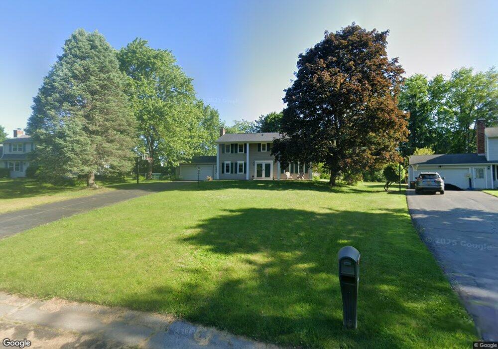
53 Wheatstone Cir Fairport, NY 14450
Estimated Value: $401,000 - $449,000
5
Beds
3
Baths
2,160
Sq Ft
$199/Sq Ft
Est. Value
About This Home
This home is located at 53 Wheatstone Cir, Fairport, NY 14450 and is currently estimated at $429,606, approximately $198 per square foot. 53 Wheatstone Cir is a home located in Monroe County with nearby schools including Jefferson Avenue Elementary School, Minerva Deland School, and Johanna Perrin Middle School.
Ownership History
Date
Name
Owned For
Owner Type
Purchase Details
Closed on
Oct 25, 2010
Sold by
Bouchard Louis J and Bouchard Debbie A
Bought by
Bouchard Debbie A
Current Estimated Value
Purchase Details
Closed on
Mar 2, 2001
Sold by
Bouchard Louis J
Bought by
Bouchard Louis J
Purchase Details
Closed on
Apr 25, 1997
Sold by
Mchone Rick L and Mchone Janice A
Bought by
Bouchard Louis J
Purchase Details
Closed on
Jul 27, 1995
Sold by
Carr David L and Carr Karen M
Bought by
Mchone Rick L and Mc Hone Janice A
Create a Home Valuation Report for This Property
The Home Valuation Report is an in-depth analysis detailing your home's value as well as a comparison with similar homes in the area
Home Values in the Area
Average Home Value in this Area
Purchase History
| Date | Buyer | Sale Price | Title Company |
|---|---|---|---|
| Bouchard Debbie A | -- | None Available | |
| Bouchard Louis J | -- | -- | |
| Bouchard Louis J | $140,000 | -- | |
| Mchone Rick L | $154,000 | -- |
Source: Public Records
Tax History Compared to Growth
Tax History
| Year | Tax Paid | Tax Assessment Tax Assessment Total Assessment is a certain percentage of the fair market value that is determined by local assessors to be the total taxable value of land and additions on the property. | Land | Improvement |
|---|---|---|---|---|
| 2024 | $8,263 | $225,600 | $44,500 | $181,100 |
| 2023 | $7,946 | $225,600 | $44,500 | $181,100 |
| 2022 | $8,294 | $225,600 | $44,500 | $181,100 |
| 2021 | $8,333 | $225,600 | $44,500 | $181,100 |
| 2020 | $7,439 | $225,600 | $44,500 | $181,100 |
| 2019 | $6,822 | $225,600 | $44,500 | $181,100 |
| 2018 | $7,179 | $225,600 | $44,500 | $181,100 |
| 2017 | $4,286 | $208,900 | $44,500 | $164,400 |
| 2016 | $6,822 | $208,900 | $44,500 | $164,400 |
| 2015 | -- | $208,900 | $44,500 | $164,400 |
| 2014 | -- | $208,900 | $44,500 | $164,400 |
Source: Public Records
Map
Nearby Homes
- 603 Watson Rd
- 15 Whitney Farms Cir
- 255 Watson Rd
- 79 Saint Andrews Blvd
- 9 Killeen Dr
- 19 Homestead Dr
- 1331 Whitney Rd E
- 12 Deland Park A
- 30 Cali Ridge
- 3 Acadian Rise
- 2 Cherrymede Crescent
- 70 High St
- 5 New Wickham Dr
- 139 Balmoral Dr
- 35 Camberley Place
- 27 Camberley Place
- 18 Ashby Cir
- 10 Lonesome Rd
- 2 Foxpointe Cir
- 3 Packetts Glen
- 55 Wheatstone Cir
- 51 Wheatstone Cir
- 16 Spyglass Hill
- 18 Spyglass Hill
- 57 Wheatstone Cir
- 14 Spyglass Hill
- 49 Wheatstone Cir
- 46 Wheatstone Cir
- 20 Spyglass Hill
- 47 Wheatstone Cir
- 59 Wheatstone Cir
- 12 Spyglass Hill
- 50 Buckwheat Dr
- 501 Watson Rd
- 22 Spyglass Hill
- 45 Wheatstone Cir
- 44 Wheatstone Cir
- 509 Watson Rd
- 15 Spyglass Hill
- 17 Spyglass Hill