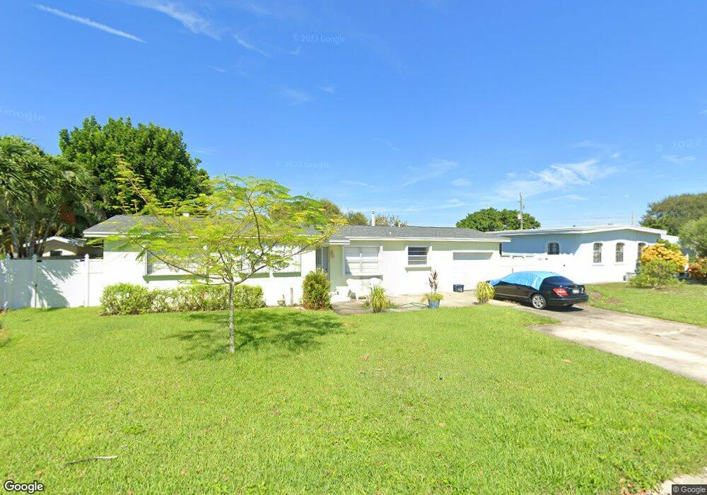
530 4th Ave Satellite Beach, FL 32937
Estimated Value: $339,000 - $439,000
3
Beds
2
Baths
1,382
Sq Ft
$279/Sq Ft
Est. Value
About This Home
This home is located at 530 4th Ave, Satellite Beach, FL 32937 and is currently estimated at $385,355, approximately $278 per square foot. 530 4th Ave is a home located in Brevard County with nearby schools including Sea Park Elementary School, Satellite Senior High School, and DeLaura Middle School.
Ownership History
Date
Name
Owned For
Owner Type
Purchase Details
Closed on
Sep 26, 2016
Sold by
Skinner Lillian H
Bought by
Laws Thomas A and Laws Nancy D
Current Estimated Value
Purchase Details
Closed on
Oct 8, 2010
Sold by
Martin Virginia S and The Elizabeth C Scheidegger Re
Bought by
Skinner Lillian H
Home Financials for this Owner
Home Financials are based on the most recent Mortgage that was taken out on this home.
Original Mortgage
$80,000
Interest Rate
4.42%
Purchase Details
Closed on
Aug 26, 2003
Sold by
Scheidegger John H and Scheidegger Elizabeth C
Bought by
Revoca Scheidegger Elizabeth C and Revoca Elizabeth C Scheidegger
Create a Home Valuation Report for This Property
The Home Valuation Report is an in-depth analysis detailing your home's value as well as a comparison with similar homes in the area
Home Values in the Area
Average Home Value in this Area
Purchase History
| Date | Buyer | Sale Price | Title Company |
|---|---|---|---|
| Laws Thomas A | $55,400 | Attorney | |
| Skinner Lillian H | $85,000 | Title Security & Escrow | |
| Revoca Scheidegger Elizabeth C | -- | -- |
Source: Public Records
Mortgage History
| Date | Status | Borrower | Loan Amount |
|---|---|---|---|
| Previous Owner | Skinner Lillian H | $80,000 |
Source: Public Records
Tax History Compared to Growth
Tax History
| Year | Tax Paid | Tax Assessment Tax Assessment Total Assessment is a certain percentage of the fair market value that is determined by local assessors to be the total taxable value of land and additions on the property. | Land | Improvement |
|---|---|---|---|---|
| 2025 | $3,683 | $295,850 | -- | -- |
| 2024 | $3,627 | $297,140 | -- | -- |
| 2023 | $3,627 | $297,600 | $0 | $0 |
| 2022 | $3,249 | $284,420 | $0 | $0 |
| 2021 | $2,861 | $198,460 | $128,000 | $70,460 |
| 2020 | $2,505 | $155,290 | $97,000 | $58,290 |
| 2019 | $1,653 | $130,430 | $0 | $0 |
| 2018 | $1,618 | $125,660 | $0 | $0 |
| 2017 | $1,623 | $123,080 | $72,000 | $51,080 |
| 2016 | $2,035 | $112,900 | $65,000 | $47,900 |
| 2015 | $1,572 | $94,050 | $60,000 | $34,050 |
| 2014 | $1,457 | $85,170 | $55,000 | $30,170 |
Source: Public Records
Map
Nearby Homes
- 454 Point Lobos Dr
- 384 Point Lobos Dr
- 314 Point Lobos Dr
- 696 Palos Verde Dr
- 349 W Arlington St
- 341 W Arlington St
- 659 Monterey Dr
- 49 Sorrento Ct
- 679 Monterey Dr
- 451 Bridgetown Ct
- 443 Port Royal Blvd
- 681 Ventura Dr
- 130 Redondo Dr
- 124 E Dover St
- 161 Churchill Ave
- 126 Clemente Dr
- 124 E Arlington St
- 131 E Arlington St
- 333 S Patrick Dr Unit 11
- 88 Redondo Dr