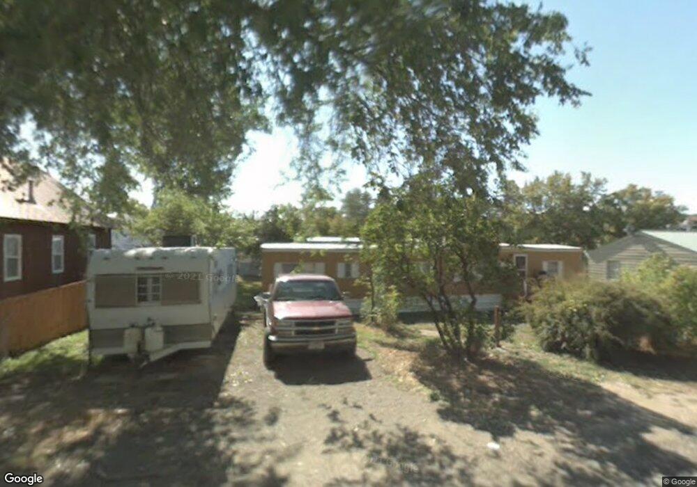
530 6th St E Eureka, MT 59917
Estimated Value: $135,000 - $298,000
4
Beds
2
Baths
1,100
Sq Ft
$211/Sq Ft
Est. Value
About This Home
This home is located at 530 6th St E, Eureka, MT 59917 and is currently estimated at $232,000, approximately $210 per square foot. 530 6th St E is a home located in Lincoln County with nearby schools including Eureka Elementary School, Eureka Middle School, and Lincoln County High School.
Ownership History
Date
Name
Owned For
Owner Type
Purchase Details
Closed on
Nov 5, 2015
Sold by
Utter Holdings Of Eureka Llc
Bought by
Miller Bradley and Helder Trinia
Current Estimated Value
Home Financials for this Owner
Home Financials are based on the most recent Mortgage that was taken out on this home.
Original Mortgage
$36,000
Interest Rate
3.81%
Mortgage Type
Unknown
Purchase Details
Closed on
Aug 24, 2007
Sold by
Rasmussen Thomas Kenneth and Rasmussen Valisa Lynn
Bought by
Utter Trevor K and Utter Amber R
Create a Home Valuation Report for This Property
The Home Valuation Report is an in-depth analysis detailing your home's value as well as a comparison with similar homes in the area
Purchase History
| Date | Buyer | Sale Price | Title Company |
|---|---|---|---|
| Miller Bradley | -- | First American Title Company | |
| Utter Trevor K | -- | First American Title Co |
Source: Public Records
Mortgage History
| Date | Status | Borrower | Loan Amount |
|---|---|---|---|
| Previous Owner | Miller Bradley | $36,000 |
Source: Public Records
Tax History
| Year | Tax Paid | Tax Assessment Tax Assessment Total Assessment is a certain percentage of the fair market value that is determined by local assessors to be the total taxable value of land and additions on the property. | Land | Improvement |
|---|---|---|---|---|
| 2025 | $197 | $54,322 | $0 | $0 |
| 2024 | $300 | $47,411 | $0 | $0 |
| 2023 | $386 | $47,411 | $0 | $0 |
| 2022 | $243 | $30,717 | $0 | $0 |
| 2021 | $262 | $30,717 | $0 | $0 |
| 2020 | $272 | $22,000 | $0 | $0 |
| 2019 | $272 | $22,000 | $0 | $0 |
| 2018 | $271 | $21,685 | $0 | $0 |
| 2017 | $186 | $21,685 | $0 | $0 |
| 2016 | $347 | $30,660 | $0 | $0 |
| 2015 | $237 | $30,660 | $0 | $0 |
| 2014 | $452 | $29,853 | $0 | $0 |
Source: Public Records
Map
Nearby Homes
- 317 6th Ave E
- 450 6th St E
- 412 1st Ave E
- 506 1st Ave E Unit A,B,C
- 575 9th St
- 458 Eureka Heights Rd
- 4 Acres U S 93
- 1355 6th Ave E
- 1838 Mills Spring Rd
- Nhn Tobacco Rd
- 270 Mill Springs Rd
- 782 Othorp Lake Rd
- 148 Trail
- 11 Vista View Dr
- NHN Hwy 93 & 37
- 273 Game Trail
- 762 Hillandale Trail
- Nhn Othorp Lake Rd Unit Lot 9
- 77 Elmhurst Way
- NHN Center St
Your Personal Tour Guide
Ask me questions while you tour the home.