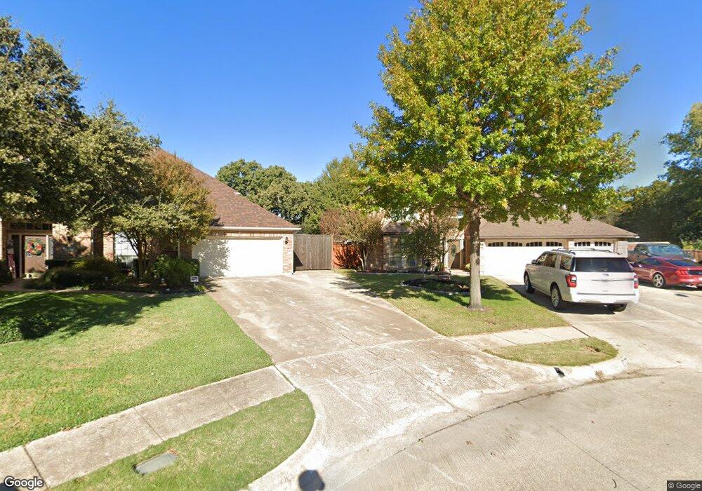
530 Austin Creek Dr Grapevine, TX 76051
Estimated Value: $688,000 - $748,000
4
Beds
3
Baths
3,466
Sq Ft
$209/Sq Ft
Est. Value
About This Home
This home is located at 530 Austin Creek Dr, Grapevine, TX 76051 and is currently estimated at $723,491, approximately $208 per square foot. 530 Austin Creek Dr is a home located in Tarrant County with nearby schools including Cannon Elementary School, Grapevine Middle, and Grapevine High School.
Ownership History
Date
Name
Owned For
Owner Type
Purchase Details
Closed on
Jun 21, 2018
Sold by
Grimes Ronald Alan and Muhlenbruch Lynne Marie
Bought by
Grimes Ronald Alan and Muhlenbruch Lynne Marie
Current Estimated Value
Purchase Details
Closed on
May 23, 2003
Sold by
Prudential Residential Services Lp
Bought by
Grimes Ronald and Muhlenbruch Lynne
Home Financials for this Owner
Home Financials are based on the most recent Mortgage that was taken out on this home.
Original Mortgage
$152,150
Outstanding Balance
$65,886
Interest Rate
5.74%
Mortgage Type
Purchase Money Mortgage
Estimated Equity
$657,605
Create a Home Valuation Report for This Property
The Home Valuation Report is an in-depth analysis detailing your home's value as well as a comparison with similar homes in the area
Home Values in the Area
Average Home Value in this Area
Purchase History
| Date | Buyer | Sale Price | Title Company |
|---|---|---|---|
| Grimes Ronald Alan | -- | None Available | |
| Grimes Ronald | -- | Fnt | |
| Prudential Residential Services Lp | -- | Fnt |
Source: Public Records
Mortgage History
| Date | Status | Borrower | Loan Amount |
|---|---|---|---|
| Open | Prudential Residential Services Lp | $152,150 | |
| Closed | Prudential Residential Services Lp | $181,500 |
Source: Public Records
Tax History Compared to Growth
Tax History
| Year | Tax Paid | Tax Assessment Tax Assessment Total Assessment is a certain percentage of the fair market value that is determined by local assessors to be the total taxable value of land and additions on the property. | Land | Improvement |
|---|---|---|---|---|
| 2025 | $1,825 | $562,400 | $120,000 | $442,400 |
| 2024 | $1,825 | $624,889 | $120,000 | $504,889 |
| 2023 | $8,114 | $576,000 | $100,000 | $476,000 |
| 2022 | $8,717 | $540,703 | $55,000 | $485,703 |
| 2021 | $8,697 | $400,000 | $55,000 | $345,000 |
| 2020 | $8,798 | $400,000 | $55,000 | $345,000 |
| 2019 | $9,122 | $400,000 | $55,000 | $345,000 |
| 2018 | $1,928 | $378,678 | $55,000 | $323,678 |
| 2017 | $8,325 | $398,905 | $55,000 | $343,905 |
| 2016 | $7,568 | $402,364 | $55,000 | $347,364 |
| 2015 | $6,429 | $297,500 | $34,000 | $263,500 |
| 2014 | $6,429 | $297,500 | $34,000 | $263,500 |
Source: Public Records
Map
Nearby Homes
- 2410 Bowie Ln
- 521 Austin Oaks Dr
- 831 Simmons Ct
- 2613 Rolling Ln
- 1024 Woodbriar Dr
- 2140 S Winding Creek Dr
- 2221 Churchill Loop
- 2217 Cameron Crossing
- 2081 Holt Way
- 2092 Holt Way
- 813 Shady Ln
- 410 Shady Ln
- 414 Shady Ln
- 2212 Still Water Ct
- 517 Yellowstone Dr
- 1507 Cimarron Trail
- 2217 Pecos Dr
- 600 Pemberton Dr
- 2201 Still Water Ct
- 2205 Still Water Ct
- 532 Austin Creek Dr
- 528 Austin Creek Dr
- 534 Austin Creek Dr
- 2800 Rainforest Ct
- 539 Austin Oaks Dr
- 2412 Bowie Ln
- 537 Austin Oaks Dr
- 2414 Bowie Ln
- 800 Simmons Ct
- 2416 Bowie Ln
- 524 Austin Creek Dr
- 2418 Bowie Ln
- 535 Austin Oaks Dr
- 810 Simmons Ct
- 2810 Rainforest Ct
- 522 Austin Creek Dr
- 2420 Bowie Ln
- 532 Alamo Trail
- 2411 Bowie Ln
- 2809 Rainforest Ct