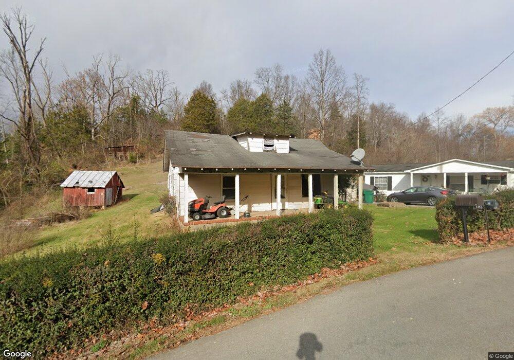
530 Coal Chute Rd Elizabethton, TN 37643
Estimated Value: $153,042 - $221,000
--
Bed
1
Bath
975
Sq Ft
$195/Sq Ft
Est. Value
About This Home
This home is located at 530 Coal Chute Rd, Elizabethton, TN 37643 and is currently estimated at $190,011, approximately $194 per square foot. 530 Coal Chute Rd is a home located in Carter County.
Ownership History
Date
Name
Owned For
Owner Type
Purchase Details
Closed on
Jul 28, 2011
Sold by
Fugate Margaret B
Bought by
Grindstaff Sandra
Current Estimated Value
Home Financials for this Owner
Home Financials are based on the most recent Mortgage that was taken out on this home.
Original Mortgage
$45,000
Interest Rate
3.36%
Mortgage Type
Commercial
Purchase Details
Closed on
Feb 17, 1989
Purchase Details
Closed on
Mar 22, 1984
Bought by
Hartley Roy Edward
Create a Home Valuation Report for This Property
The Home Valuation Report is an in-depth analysis detailing your home's value as well as a comparison with similar homes in the area
Home Values in the Area
Average Home Value in this Area
Purchase History
| Date | Buyer | Sale Price | Title Company |
|---|---|---|---|
| Grindstaff Sandra | $18,000 | -- | |
| Grindstaff Sandra | $16,000 | -- | |
| Grindstaff Sandra | $2,000 | -- | |
| -- | -- | -- | |
| Hartley Roy Edward | $27,900 | -- |
Source: Public Records
Mortgage History
| Date | Status | Borrower | Loan Amount |
|---|---|---|---|
| Previous Owner | Grindstaff Sandra | $45,000 |
Source: Public Records
Tax History Compared to Growth
Tax History
| Year | Tax Paid | Tax Assessment Tax Assessment Total Assessment is a certain percentage of the fair market value that is determined by local assessors to be the total taxable value of land and additions on the property. | Land | Improvement |
|---|---|---|---|---|
| 2024 | $559 | $26,075 | $12,450 | $13,625 |
| 2023 | $559 | $25,650 | $0 | $0 |
| 2022 | $521 | $25,650 | $12,450 | $13,200 |
| 2021 | $521 | $25,650 | $12,450 | $13,200 |
| 2020 | $493 | $25,650 | $12,450 | $13,200 |
| 2019 | $493 | $19,975 | $9,275 | $10,700 |
| 2018 | $501 | $20,275 | $9,275 | $11,000 |
| 2017 | $501 | $20,275 | $9,275 | $11,000 |
| 2016 | $497 | $20,275 | $9,275 | $11,000 |
| 2015 | $497 | $20,275 | $9,275 | $11,000 |
| 2014 | $489 | $19,950 | $9,275 | $10,675 |
Source: Public Records
Map
Nearby Homes
- 133 Hickory Hollow Rd
- Tbd Cannon Hill Dr
- Lot 8 Emerald Hills Dr
- Lots 5&6 Emerald Hills Dr
- Lot 1 Emerald Hills Dr
- Lots 4567 Emerald Hills Dr
- 129 Jim Elliott Rd
- 118 Mountain View Cir
- 637 Long Hollow Rd
- 278 Long Hollow Rd
- 113 Constitution Ave
- Tbd Hampton Dr
- 1955 Gap Creek Rd
- 138 Lexington Ave
- 133 Bishop Cir
- TBD River Rd
- 142 Earl Ave
- 136 Ruby Ave
- 1530 Powder Branch Rd
- 220 Jenkins Hollow Rd
- 506 Coal Chute Rd
- 537 Coal Chute Rd
- Tbd Coal Chute Rd
- 557 Coal Chute Rd
- 116 Laura Dr
- 125 Laura Dr
- 451 Coal Chute Rd
- 276 Short Coal Chute Rd
- 199 Laura Dr
- 443 Coal Chute Rd
- 274 Short Coal Chute Rd
- 112 Hickory Hollow Rd
- 102 Hickory Hollow Rd
- 582 Coal Chute Rd
- 304 Short Coal Chute Rd
- 150 Laura Dr
- 303 Short Coal Chute Rd
- 428 Coal Chute Rd
- 1407 Gap Creek Rd
- 271 Short Coal Chute Rd