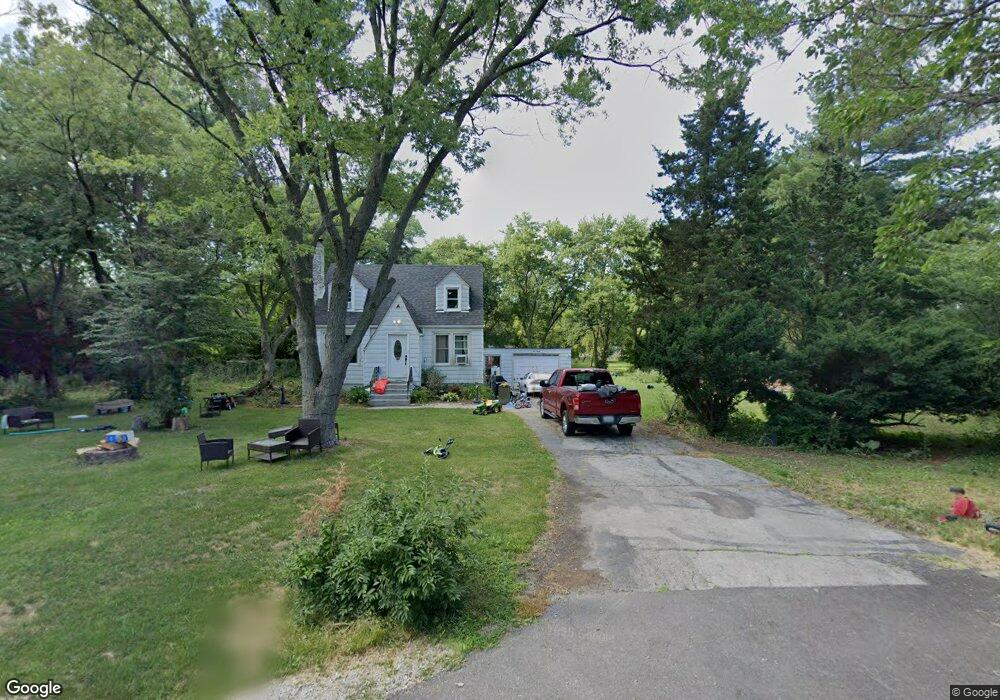
530 Duncan St Elmhurst, IL 60126
Estimated Value: $315,000 - $394,000
2
Beds
2
Baths
1,137
Sq Ft
$313/Sq Ft
Est. Value
About This Home
This home is located at 530 Duncan St, Elmhurst, IL 60126 and is currently estimated at $356,360, approximately $313 per square foot. 530 Duncan St is a home located in Cook County with nearby schools including Hillside Elementary School, Proviso West High School, and Visitation School.
Ownership History
Date
Name
Owned For
Owner Type
Purchase Details
Closed on
Apr 26, 2013
Sold by
Cerceo Patrick J
Bought by
Castellanos Saul and Castellanos David
Current Estimated Value
Purchase Details
Closed on
Feb 10, 1994
Sold by
Kathryn Holtrop Peter and Kathryn Holtropp
Bought by
Cerceo Patrick J
Home Financials for this Owner
Home Financials are based on the most recent Mortgage that was taken out on this home.
Original Mortgage
$135,000
Interest Rate
7.05%
Create a Home Valuation Report for This Property
The Home Valuation Report is an in-depth analysis detailing your home's value as well as a comparison with similar homes in the area
Home Values in the Area
Average Home Value in this Area
Purchase History
| Date | Buyer | Sale Price | Title Company |
|---|---|---|---|
| Castellanos Saul | $260,000 | First American Title | |
| Cerceo Patrick J | $100,000 | -- |
Source: Public Records
Mortgage History
| Date | Status | Borrower | Loan Amount |
|---|---|---|---|
| Previous Owner | Cerceo Patrick J | $135,000 |
Source: Public Records
Tax History Compared to Growth
Tax History
| Year | Tax Paid | Tax Assessment Tax Assessment Total Assessment is a certain percentage of the fair market value that is determined by local assessors to be the total taxable value of land and additions on the property. | Land | Improvement |
|---|---|---|---|---|
| 2024 | $4,184 | $24,000 | $7,276 | $16,724 |
| 2023 | $3,352 | $24,000 | $7,276 | $16,724 |
| 2022 | $3,352 | $18,561 | $6,367 | $12,194 |
| 2021 | $3,226 | $18,560 | $6,366 | $12,194 |
| 2020 | $3,240 | $18,560 | $6,366 | $12,194 |
| 2019 | $3,487 | $20,005 | $5,911 | $14,094 |
| 2018 | $3,628 | $20,909 | $5,911 | $14,998 |
| 2017 | $3,576 | $20,909 | $5,911 | $14,998 |
| 2016 | $3,526 | $19,074 | $5,457 | $13,617 |
| 2015 | $3,998 | $19,074 | $5,457 | $13,617 |
| 2014 | $3,907 | $19,074 | $5,457 | $13,617 |
| 2013 | $3,755 | $19,707 | $5,457 | $14,250 |
Source: Public Records
Map
Nearby Homes
- 0S424 S Cadwell Ave
- 426 E Harrison St
- 15W320 Concord St
- 353 E Butterfield Rd
- 522 E Park Manor Ct
- 441 E Adams St
- 427 E Adams St
- 900 S Colfax Ave
- 2012 N Taft Ave
- 494 E Atwood Ct
- 505 E Atwood Ct
- 675 S Edgewood Ave
- 1242 Heidorn Ave
- 341 E Madison St
- 162 E Hale St
- 827 S Kearsage Ave
- 100 W Butterfield Rd Unit 112N
- 110 W Butterfield Rd Unit 502S
- 593 S Edgewood Ave
- 142 E Quincy St
- 15W011 E Harvard St
- 500 E Harvard St
- 545 E Harvard St
- 15W050 Duncan St
- 15W064 E Harvard St
- 15W121 E Harvard St
- 15W104 E Harvard St
- 15W053 Concord St
- 15W024 Concord St
- 15W071 Concord St
- 15W040 Concord St
- 15W112 E Harvard St
- 15W103 Concord St
- 15W052 Concord St
- 0S655 S Cedar Ave
- s 621 S Cedar Ave
- 0S631 S Cedar Ave
- 107 Forest Ln
- 0S621 S Cedar Ave
- 15W132 E Harvard St