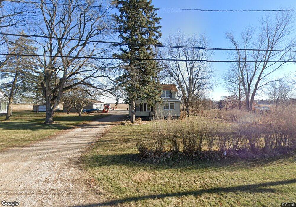
530 E Dover Rd Princeton, IL 61356
Estimated Value: $121,000 - $164,000
--
Bed
--
Bath
--
Sq Ft
1.26
Acres
About This Home
This home is located at 530 E Dover Rd, Princeton, IL 61356 and is currently estimated at $141,147. 530 E Dover Rd is a home located in Bureau County with nearby schools including Lincoln Elementary School, Jefferson Elementary School, and Logan Junior High School.
Ownership History
Date
Name
Owned For
Owner Type
Purchase Details
Closed on
Aug 31, 2020
Sold by
Wrbf
Bought by
May Chad and May Gloria
Current Estimated Value
Purchase Details
Closed on
Oct 2, 2012
Sold by
Federal Home Loan Mortgage Corporation
Bought by
Wrbf Llc
Home Financials for this Owner
Home Financials are based on the most recent Mortgage that was taken out on this home.
Original Mortgage
$56,000
Interest Rate
3.4%
Mortgage Type
Future Advance Clause Open End Mortgage
Purchase Details
Closed on
Mar 13, 2011
Sold by
Callahan Michael J
Bought by
Feederal Home Loan Mortgage Assn
Create a Home Valuation Report for This Property
The Home Valuation Report is an in-depth analysis detailing your home's value as well as a comparison with similar homes in the area
Home Values in the Area
Average Home Value in this Area
Purchase History
| Date | Buyer | Sale Price | Title Company |
|---|---|---|---|
| May Chad | -- | None Available | |
| Wrbf Llc | $28,000 | None Available | |
| Feederal Home Loan Mortgage Assn | -- | None Available |
Source: Public Records
Mortgage History
| Date | Status | Borrower | Loan Amount |
|---|---|---|---|
| Previous Owner | Wrbf Llc | $56,000 |
Source: Public Records
Tax History Compared to Growth
Tax History
| Year | Tax Paid | Tax Assessment Tax Assessment Total Assessment is a certain percentage of the fair market value that is determined by local assessors to be the total taxable value of land and additions on the property. | Land | Improvement |
|---|---|---|---|---|
| 2024 | $2,181 | $35,870 | $9,202 | $26,668 |
| 2023 | $2,181 | $33,036 | $8,475 | $24,561 |
| 2022 | $2,051 | $30,973 | $7,946 | $23,027 |
| 2021 | $2,002 | $29,320 | $7,522 | $21,798 |
| 2020 | $2,872 | $41,620 | $7,247 | $34,373 |
| 2019 | $2,890 | $41,122 | $7,160 | $33,962 |
| 2018 | $2,843 | $40,419 | $7,038 | $33,381 |
| 2017 | $2,913 | $40,565 | $7,063 | $33,502 |
| 2016 | $2,849 | $39,507 | $6,879 | $32,628 |
| 2015 | -- | $32,057 | $0 | $32,057 |
| 2014 | -- | $38,816 | $6,759 | $32,057 |
| 2013 | -- | $39,027 | $6,796 | $32,231 |
Source: Public Records
Map
Nearby Homes
- 725 Independence Dr
- 319 N Chestnut St
- 405 N Church St
- 506 N Pleasant St
- 120 W Marquette St
- 20 S Church St
- 15 S Vernon St
- 311 W Franklin St
- 443 E Peru St
- 215 N Randolph St
- 525 E Marion St
- 310 S Pleasant St
- 507 S 9th St
- Lot 6 Ace Rd
- 8 & 9 Century Dr
- 8&9 W Century Dr
- 625 S 5th Avenue Dr
- 432 S 1st St
- 815 W Hudson St
- 810 W Railroad Ave
- 550 E Dover Rd
- 000 Dover Rd
- 518 E Dover Rd
- 551 E Dover Rd
- 514 E Dover Rd
- 555 E Dover Rd
- 520 Elm Place
- 510 Elm Place
- 448 Elm Place
- 440 E Dover Rd
- 443 E Dover Rd
- 443 Dover Rd
- 535 Elm Place
- 535 Elm Place Unit 1
- 465 Elm Place
- 627 N Euclid Ave
- 426 Elm Place
- 717 N Euclid Ave
- 715 N Euclid Ave
- 725 N Euclid Ave