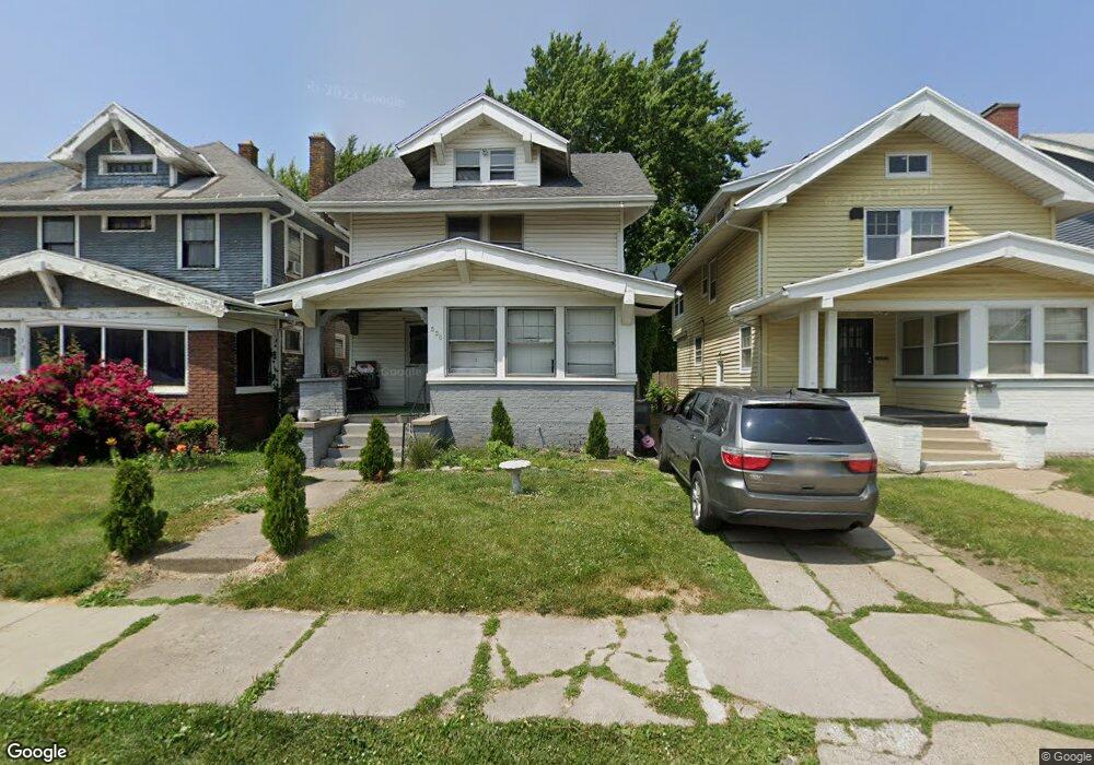
530 Hackett Rd Toledo, OH 43610
Downtown Toledo NeighborhoodEstimated Value: $51,000 - $64,218
3
Beds
1
Bath
1,554
Sq Ft
$39/Sq Ft
Est. Value
About This Home
This home is located at 530 Hackett Rd, Toledo, OH 43610 and is currently estimated at $60,305, approximately $38 per square foot. 530 Hackett Rd is a home located in Lucas County with nearby schools including Rosa Parks Elementary School, Jesup W. Scott High School, and Rosary Cathedral School.
Ownership History
Date
Name
Owned For
Owner Type
Purchase Details
Closed on
Jun 15, 2018
Sold by
Taborn Marlene
Bought by
Kynard Dominique
Current Estimated Value
Purchase Details
Closed on
Jun 27, 2002
Sold by
Taborn Marlene
Bought by
Taborn Marlene and Adams William
Purchase Details
Closed on
Jul 2, 2001
Sold by
William Adams
Bought by
Taborn Marlene
Purchase Details
Closed on
Jan 5, 1990
Create a Home Valuation Report for This Property
The Home Valuation Report is an in-depth analysis detailing your home's value as well as a comparison with similar homes in the area
Home Values in the Area
Average Home Value in this Area
Purchase History
| Date | Buyer | Sale Price | Title Company |
|---|---|---|---|
| Kynard Dominique | $4,000 | None Available | |
| Taborn Marlene | -- | -- | |
| Taborn Marlene | -- | -- | |
| -- | $6,000 | -- |
Source: Public Records
Tax History Compared to Growth
Tax History
| Year | Tax Paid | Tax Assessment Tax Assessment Total Assessment is a certain percentage of the fair market value that is determined by local assessors to be the total taxable value of land and additions on the property. | Land | Improvement |
|---|---|---|---|---|
| 2024 | $7,175 | $10,605 | $1,610 | $8,995 |
| 2023 | $613 | $8,575 | $1,470 | $7,105 |
| 2022 | $616 | $8,575 | $1,470 | $7,105 |
| 2021 | $626 | $8,575 | $1,470 | $7,105 |
| 2020 | $693 | $8,400 | $1,435 | $6,965 |
| 2019 | $670 | $8,400 | $1,435 | $6,965 |
| 2018 | $683 | $8,400 | $1,435 | $6,965 |
| 2017 | $1,156 | $8,190 | $1,400 | $6,790 |
| 2016 | $1,058 | $23,400 | $4,000 | $19,400 |
| 2015 | $689 | $23,400 | $4,000 | $19,400 |
| 2014 | $773 | $8,190 | $1,400 | $6,790 |
| 2013 | $515 | $8,190 | $1,400 | $6,790 |
Source: Public Records
Map
Nearby Homes
- 630 Highland Ave
- 3329 Glenwood Ave
- 3332 Maplewood Ave
- 3211 Parkwood Ave
- 3247 Cherry St
- 3209 Kimball Ave
- 346 Oconnell St
- 312 W Oakland St
- 3214 Maplewood Ave
- 219 W Oakland St
- 3103 Cottage Ave
- 408 Boston Place
- 3319 Franklin Ave
- 2817 Collingwood Blvd
- 2815 Collingwood Blvd
- 341 Boston Place
- 2740 Robinwood Ave
- 23 E Hudson St
- 326 Kenilworth Ave
- 2716 Collingwood Blvd