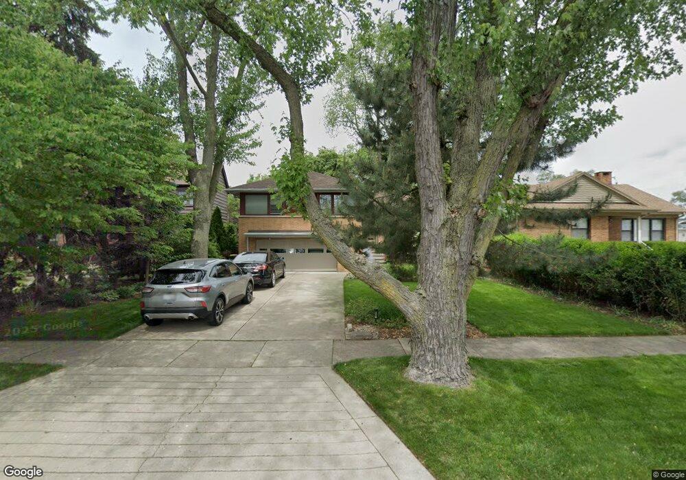
530 Longcommon Rd Riverside, IL 60546
Estimated Value: $460,383 - $486,000
3
Beds
3
Baths
1,511
Sq Ft
$312/Sq Ft
Est. Value
About This Home
This home is located at 530 Longcommon Rd, Riverside, IL 60546 and is currently estimated at $471,096, approximately $311 per square foot. 530 Longcommon Rd is a home located in Cook County with nearby schools including Blythe Park Elementary School, L J Hauser Jr High School, and Riverside Brookfield High School.
Ownership History
Date
Name
Owned For
Owner Type
Purchase Details
Closed on
Jul 25, 2011
Sold by
Splitt Jonathan D and Splitt Nina P
Bought by
Splitt Jonathan D and Jonathan D Splitt Living Trust
Current Estimated Value
Purchase Details
Closed on
Sep 8, 2000
Sold by
Scaletta Salvatore M and Sclaletta Denise M
Bought by
Splitt Jonathan D and Splitt Nina P
Home Financials for this Owner
Home Financials are based on the most recent Mortgage that was taken out on this home.
Original Mortgage
$231,250
Outstanding Balance
$81,059
Interest Rate
8.14%
Estimated Equity
$390,037
Create a Home Valuation Report for This Property
The Home Valuation Report is an in-depth analysis detailing your home's value as well as a comparison with similar homes in the area
Home Values in the Area
Average Home Value in this Area
Purchase History
| Date | Buyer | Sale Price | Title Company |
|---|---|---|---|
| Splitt Jonathan D | -- | None Available | |
| Splitt Jonathan D | $243,500 | -- |
Source: Public Records
Mortgage History
| Date | Status | Borrower | Loan Amount |
|---|---|---|---|
| Open | Splitt Jonathan D | $231,250 |
Source: Public Records
Tax History
| Year | Tax Paid | Tax Assessment Tax Assessment Total Assessment is a certain percentage of the fair market value that is determined by local assessors to be the total taxable value of land and additions on the property. | Land | Improvement |
|---|---|---|---|---|
| 2025 | $10,136 | $35,000 | $8,250 | $26,750 |
| 2024 | $10,136 | $35,000 | $8,250 | $26,750 |
| 2023 | $10,466 | $35,000 | $8,250 | $26,750 |
| 2022 | $10,466 | $30,745 | $7,219 | $23,526 |
| 2021 | $10,089 | $30,744 | $7,218 | $23,526 |
| 2020 | $9,840 | $30,744 | $7,218 | $23,526 |
| 2019 | $7,860 | $25,762 | $6,600 | $19,162 |
| 2018 | $7,627 | $25,762 | $6,600 | $19,162 |
| 2017 | $7,400 | $25,762 | $6,600 | $19,162 |
| 2016 | $7,300 | $23,227 | $5,775 | $17,452 |
| 2015 | $7,090 | $23,227 | $5,775 | $17,452 |
| 2014 | $6,987 | $23,227 | $5,775 | $17,452 |
| 2013 | $7,571 | $26,899 | $5,775 | $21,124 |
Source: Public Records
Map
Nearby Homes
- 571 Byrd Rd
- 562 Byrd Rd
- 2817 Maple Ave
- 478 Kent Rd
- 2816 Wenonah Ave
- 2817 Wenonah Ave
- 2532 Clinton Ave
- 484 Shenstone Rd
- 475 Shenstone Rd Unit 104
- 475 Shenstone Rd Unit 304
- 475 Shenstone Rd Unit 303
- 2716 Grove Ave
- 2508 Kenilworth Ave
- 2728 Grove Ave
- 3111 Wenonah Ave
- 6840 29th Place
- 2516 Grove Ave
- 2420 Kenilworth Ave
- 369 Addison Rd
- 6828 30th Place
- 534 Longcommon Rd
- 526 Longcommon Rd
- 522 Longcommon Rd
- 2726 Harlem Ave
- 2726 Harlem Ave
- 2722 Harlem Ave
- 513 Berkeley Rd
- 2720 Harlem Ave
- 2720 Harlem Ave
- 517 Berkeley Rd
- 518 Longcommon Rd
- 521 Berkeley Rd
- 505 Berkeley Rd
- 539 Longcommon Rd
- 523 Longcommon Rd
- 2710 Harlem Ave
- 2710 S Harlem Ave
- 519 Longcommon Rd
- 515 Longcommon Rd
- 2816 Harlem Ave
Your Personal Tour Guide
Ask me questions while you tour the home.