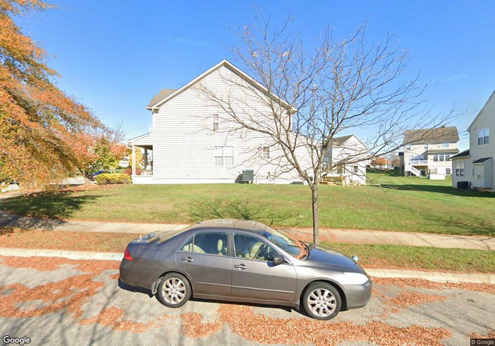
530 Middlesex Dr Middletown, DE 19709
Estimated Value: $528,000 - $558,000
4
Beds
3
Baths
2,502
Sq Ft
$217/Sq Ft
Est. Value
About This Home
This home is located at 530 Middlesex Dr, Middletown, DE 19709 and is currently estimated at $543,916, approximately $217 per square foot. 530 Middlesex Dr is a home located in New Castle County with nearby schools including Brick Mill Elementary School, Louis L. Redding Middle School, and Middletown High School.
Ownership History
Date
Name
Owned For
Owner Type
Purchase Details
Closed on
Jul 22, 2024
Sold by
Mccants Shannon and Mccants Nyia
Bought by
Sunderrajan Christopher
Current Estimated Value
Home Financials for this Owner
Home Financials are based on the most recent Mortgage that was taken out on this home.
Original Mortgage
$495,000
Outstanding Balance
$489,088
Interest Rate
6.99%
Mortgage Type
New Conventional
Estimated Equity
$54,828
Purchase Details
Closed on
Feb 23, 2007
Sold by
Willow Grove Ventures Llc
Bought by
Beazer Homes Corp
Create a Home Valuation Report for This Property
The Home Valuation Report is an in-depth analysis detailing your home's value as well as a comparison with similar homes in the area
Home Values in the Area
Average Home Value in this Area
Purchase History
| Date | Buyer | Sale Price | Title Company |
|---|---|---|---|
| Sunderrajan Christopher | -- | None Listed On Document | |
| Beazer Homes Corp | $2,777,500 | None Available |
Source: Public Records
Mortgage History
| Date | Status | Borrower | Loan Amount |
|---|---|---|---|
| Open | Sunderrajan Christopher | $495,000 |
Source: Public Records
Tax History Compared to Growth
Tax History
| Year | Tax Paid | Tax Assessment Tax Assessment Total Assessment is a certain percentage of the fair market value that is determined by local assessors to be the total taxable value of land and additions on the property. | Land | Improvement |
|---|---|---|---|---|
| 2024 | $3,949 | $107,200 | $13,400 | $93,800 |
| 2023 | $3,949 | $107,200 | $13,400 | $93,800 |
| 2022 | $3,296 | $107,200 | $13,400 | $93,800 |
| 2021 | $3,224 | $107,200 | $13,400 | $93,800 |
| 2020 | $3,186 | $107,200 | $13,400 | $93,800 |
| 2019 | $3,274 | $107,200 | $13,400 | $93,800 |
| 2018 | $2,825 | $107,200 | $13,400 | $93,800 |
| 2017 | $2,720 | $107,200 | $13,400 | $93,800 |
| 2016 | $2,444 | $107,200 | $13,400 | $93,800 |
| 2015 | $2,685 | $107,200 | $13,400 | $93,800 |
| 2014 | $2,357 | $107,200 | $13,400 | $93,800 |
Source: Public Records
Map
Nearby Homes
- 318 Northhampton Way
- 128 Springfield Cir
- 164 Springfield Cir
- 309 Mingo Way
- 945 Lansdowne Rd
- 364 Norwalk Way
- 137 Wye Oak Dr
- 919 Lansdowne Rd
- 189 Gillespie Ave
- 367 Wilmore Dr
- 110 N Meadow Dr
- 415 Marcus Rd
- 507 Lilac Dr
- 12 Willow Grove Mill Dr
- 734 Wood Duck Ct
- 10 Osprey Ln
- 243 Labrador Ln
- 16 E Shakespeare Dr
- 624 Nesting Ln
- 520 Chestnut Ln
- 601 Cambria St
- 603 Cambria St
- 532 Middlesex Dr
- 526 Middlesex Dr
- 605 Cambria St
- 533 Middlesex Dr
- 531 Middlesex Dr
- 534 Middlesex Dr
- 535 Middlesex Dr
- 529 Middlesex Dr
- 600 Cambria St
- 700 Worchester Ave
- 372 Northhampton Way
- 372 Northhampton Way
- 374 Northhampton Way
- 370 Northhampton Way
- 607 Cambria St
- 537 Middlesex Dr
- 602 Cambria St
- 527 Middlesex Dr