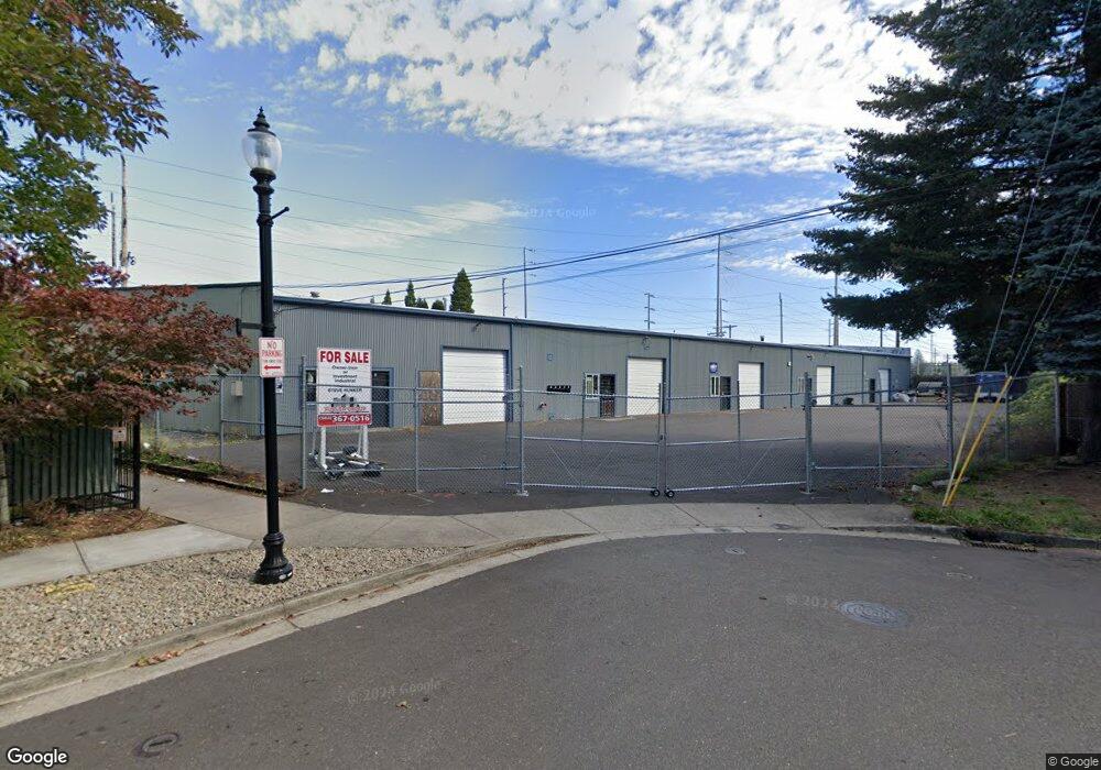
530 NE Liberty Ave Gresham, OR 97030
Downtown Gresham NeighborhoodEstimated Value: $1,902,856
--
Bed
--
Bath
18,800
Sq Ft
$101/Sq Ft
Est. Value
About This Home
This home is located at 530 NE Liberty Ave, Gresham, OR 97030 and is currently estimated at $1,902,856, approximately $101 per square foot. 530 NE Liberty Ave is a home located in Multnomah County with nearby schools including East Gresham Elementary School, Dexter McCarty Middle School, and Gresham High School.
Ownership History
Date
Name
Owned For
Owner Type
Purchase Details
Closed on
Feb 4, 2020
Sold by
Lewis Dan
Bought by
World Path Foundation
Current Estimated Value
Home Financials for this Owner
Home Financials are based on the most recent Mortgage that was taken out on this home.
Original Mortgage
$1,185,150
Interest Rate
3.72%
Mortgage Type
Commercial
Purchase Details
Closed on
Jun 3, 2011
Sold by
Nyhof Gordon L
Bought by
Lewis Dan
Home Financials for this Owner
Home Financials are based on the most recent Mortgage that was taken out on this home.
Original Mortgage
$735,000
Interest Rate
4.71%
Mortgage Type
Commercial
Purchase Details
Closed on
Oct 23, 2008
Sold by
C & R Machine Llc
Bought by
Nyhof Gordon L
Create a Home Valuation Report for This Property
The Home Valuation Report is an in-depth analysis detailing your home's value as well as a comparison with similar homes in the area
Home Values in the Area
Average Home Value in this Area
Purchase History
| Date | Buyer | Sale Price | Title Company |
|---|---|---|---|
| World Path Foundation | -- | First American | |
| Lewis Dan | $785,000 | Fidelity Natl Title Co Of Or | |
| Nyhof Gordon L | -- | Transnation |
Source: Public Records
Mortgage History
| Date | Status | Borrower | Loan Amount |
|---|---|---|---|
| Closed | World Path Foundation | $1,185,150 | |
| Previous Owner | Lewis Dan | $735,000 |
Source: Public Records
Tax History Compared to Growth
Tax History
| Year | Tax Paid | Tax Assessment Tax Assessment Total Assessment is a certain percentage of the fair market value that is determined by local assessors to be the total taxable value of land and additions on the property. | Land | Improvement |
|---|---|---|---|---|
| 2025 | $16,924 | $831,660 | -- | -- |
| 2024 | $16,200 | $807,440 | -- | -- |
| 2023 | $16,200 | $783,930 | $0 | $0 |
| 2022 | $14,347 | $761,100 | $0 | $0 |
| 2021 | $13,986 | $738,940 | $0 | $0 |
| 2020 | $13,159 | $717,420 | $0 | $0 |
| 2019 | $12,814 | $696,530 | $0 | $0 |
| 2018 | $12,218 | $676,250 | $0 | $0 |
Source: Public Records
Map
Nearby Homes
- 0 NE 6th St
- 1209 NE 5th St Unit B
- 234 NE Cleveland Ave
- 660 NE 9th St
- 491 NE Elliott Ave
- 900 NE Francis Ave Unit 29
- 900 NE Francis Ave
- 1302 NE Hogan Dr Unit 169
- 1308 NE Hogan Dr Unit 166
- 245 SE Juniper Ave
- 575 NE Fleming Ave Unit B43
- 1418 NE Hogan Dr
- 569 NE Fleming Ave Unit B46
- 579 NE Fleming Ave Unit C41
- 1700 SE 4th St
- 863 NE Fleming Ave Unit B10
- 420 SE Linden Ave
- 450 SE Hogan Rd
- 626 NE Fleming Ave Unit B63
- 318 NE Roberts Ave Unit 402
- 434 NE Liberty Ave
- 1241 NE 6th St
- 547 NE Liberty Ave
- 547 NE Liberty Ave Unit 69
- 531 NE Liberty Ave
- 531 NE Liberty Ave Unit 70
- 430 NE Liberty Ave
- 525 NE Liberty Ave Unit 71
- 517 NE Liberty Ave Unit 72
- 511 NE Liberty Ave Unit 73
- 493 NE Liberty Ave Unit 74
- 487 NE Liberty Ave Unit 75
- 1279 NE 5th St Unit B
- 424 NE Liberty Ave
- 1291 NE 5th St Unit B
- 1267 NE 5th St Unit B
- 1245 NE 5th St Unit B
- 1253 NE 5th St Unit B
- 481 NE Liberty Ave Unit 76
- 1233 NE 5th St Unit B