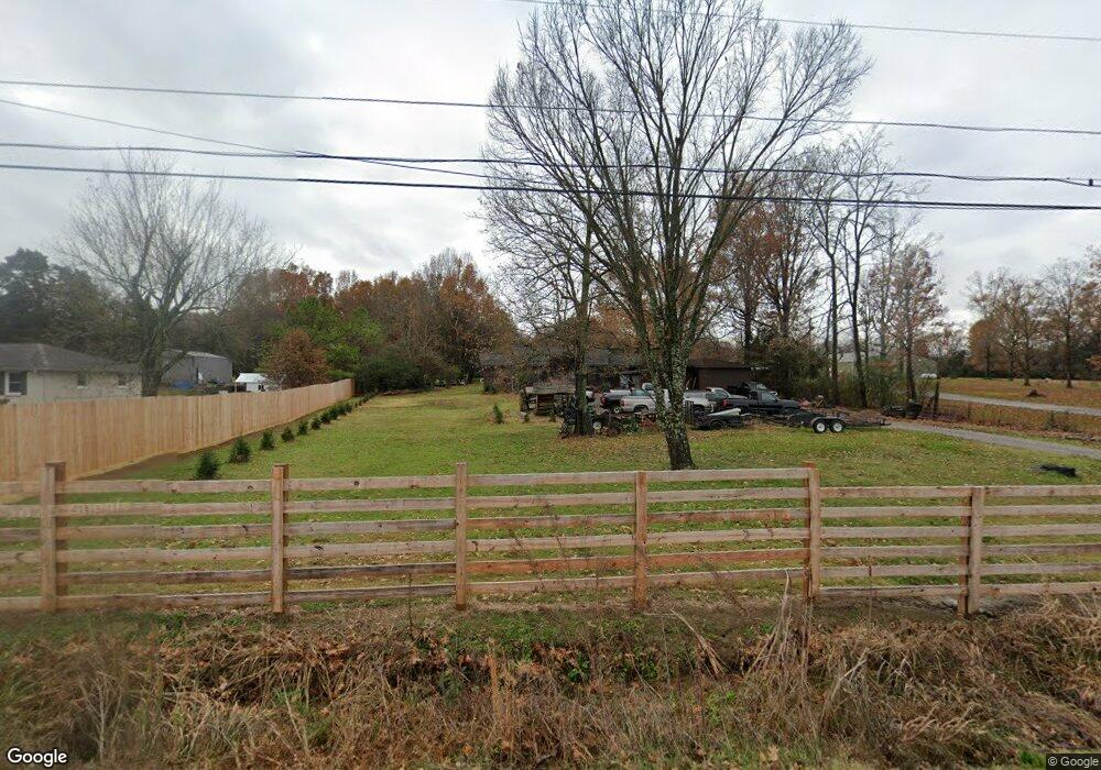
530 Peyton Rd Lebanon, TN 37087
Estimated Value: $299,000 - $330,677
--
Bed
2
Baths
1,160
Sq Ft
$273/Sq Ft
Est. Value
About This Home
This home is located at 530 Peyton Rd, Lebanon, TN 37087 and is currently estimated at $316,669, approximately $272 per square foot. 530 Peyton Rd is a home located in Wilson County with nearby schools including Sam Houston Elementary School, Walter J. Baird Middle School, and Lebanon High School.
Ownership History
Date
Name
Owned For
Owner Type
Purchase Details
Closed on
May 16, 2014
Sold by
Barrett Earl
Bought by
Barrett Earl and Townsend Esther Ruth
Current Estimated Value
Purchase Details
Closed on
Sep 17, 2003
Sold by
Harvey Living Trust
Bought by
Barrett Earl
Home Financials for this Owner
Home Financials are based on the most recent Mortgage that was taken out on this home.
Original Mortgage
$60,000
Interest Rate
6.24%
Purchase Details
Closed on
Aug 5, 2003
Sold by
Seay Michael K and Seay Annie R
Bought by
Harvey J T
Home Financials for this Owner
Home Financials are based on the most recent Mortgage that was taken out on this home.
Original Mortgage
$60,000
Interest Rate
6.24%
Purchase Details
Closed on
Apr 5, 2000
Bought by
Seay Michael and Seay Annie R
Purchase Details
Closed on
Jul 30, 1985
Bought by
Seay Jewell F
Create a Home Valuation Report for This Property
The Home Valuation Report is an in-depth analysis detailing your home's value as well as a comparison with similar homes in the area
Home Values in the Area
Average Home Value in this Area
Purchase History
| Date | Buyer | Sale Price | Title Company |
|---|---|---|---|
| Barrett Earl | -- | -- | |
| Barrett Earl | $29,500 | -- | |
| Harvey J T | $25,000 | -- | |
| Seay Michael | $66,000 | -- | |
| Seay Jewell F | -- | -- |
Source: Public Records
Mortgage History
| Date | Status | Borrower | Loan Amount |
|---|---|---|---|
| Previous Owner | Seay Jewell F | $60,000 |
Source: Public Records
Tax History Compared to Growth
Tax History
| Year | Tax Paid | Tax Assessment Tax Assessment Total Assessment is a certain percentage of the fair market value that is determined by local assessors to be the total taxable value of land and additions on the property. | Land | Improvement |
|---|---|---|---|---|
| 2024 | $1,260 | $57,100 | $23,875 | $33,225 |
| 2022 | $1,260 | $57,100 | $23,875 | $33,225 |
| 2021 | $1,260 | $57,100 | $23,875 | $33,225 |
| 2020 | $1,321 | $57,100 | $23,875 | $33,225 |
| 2019 | $1,321 | $45,550 | $13,600 | $31,950 |
| 2018 | $1,321 | $45,550 | $13,600 | $31,950 |
| 2017 | $1,305 | $45,550 | $13,600 | $31,950 |
| 2016 | $1,305 | $44,975 | $13,600 | $31,375 |
| 2015 | $1,156 | $44,975 | $13,600 | $31,375 |
| 2014 | $911 | $35,448 | $0 | $0 |
Source: Public Records
Map
Nearby Homes
- 717 Peyton Rd
- 0 Sparta Pike Unit RTC2922733
- 722 Park Ave
- 234 Draper Ln
- 0 Eastover Rd Unit RTC2677879
- 1024 Quail Meadow Dr
- 6019 Hunters Village Dr
- 667 Eastover Rd
- 1063 Bluebird Rd
- 1039 Quail Meadow Dr
- 137 Sara Cir
- 544 Trousdale Ferry Pike
- 530 Park Ave
- 908 Carthage Hwy
- 1556 Sparta Pike
- 927 Nance Ln
- 935 Nance Ln
- 722 Hahn Ct
- 124 Mill Rd
- 612 Tater Peeler Rd