530 Snead Dr N Keizer, OR 97303
Estimated Value: $500,640 - $524,000
3
Beds
2
Baths
1,486
Sq Ft
$344/Sq Ft
Est. Value
About This Home
This home is located at 530 Snead Dr N, Keizer, OR 97303 and is currently estimated at $511,910, approximately $344 per square foot. 530 Snead Dr N is a home located in Marion County with nearby schools including Keizer Elementary School, Claggett Creek Middle School, and McNary High School.
Ownership History
Date
Name
Owned For
Owner Type
Purchase Details
Closed on
Jan 17, 2019
Sold by
Bye Gerald R and Bye Terrie
Bought by
Wood Robert M and Wood Judith A
Current Estimated Value
Home Financials for this Owner
Home Financials are based on the most recent Mortgage that was taken out on this home.
Original Mortgage
$323,023
Outstanding Balance
$284,016
Interest Rate
4.7%
Mortgage Type
VA
Estimated Equity
$227,894
Purchase Details
Closed on
Apr 3, 2012
Sold by
Garrigues James E and Garrigues Debra L
Bought by
Bye Gerald R and Bye Terrie
Home Financials for this Owner
Home Financials are based on the most recent Mortgage that was taken out on this home.
Original Mortgage
$69,500
Interest Rate
3.91%
Mortgage Type
New Conventional
Create a Home Valuation Report for This Property
The Home Valuation Report is an in-depth analysis detailing your home's value as well as a comparison with similar homes in the area
Home Values in the Area
Average Home Value in this Area
Purchase History
| Date | Buyer | Sale Price | Title Company |
|---|---|---|---|
| Wood Robert M | $335,000 | Ticor Title | |
| Bye Gerald R | $212,500 | Fidelity Natl Title Co Of Or |
Source: Public Records
Mortgage History
| Date | Status | Borrower | Loan Amount |
|---|---|---|---|
| Open | Wood Robert M | $323,023 | |
| Previous Owner | Bye Gerald R | $69,500 |
Source: Public Records
Tax History Compared to Growth
Tax History
| Year | Tax Paid | Tax Assessment Tax Assessment Total Assessment is a certain percentage of the fair market value that is determined by local assessors to be the total taxable value of land and additions on the property. | Land | Improvement |
|---|---|---|---|---|
| 2025 | $5,174 | $314,990 | -- | -- |
| 2024 | $5,174 | $305,820 | -- | -- |
| 2023 | $4,925 | $296,920 | $0 | $0 |
| 2022 | $4,638 | $288,280 | $0 | $0 |
| 2021 | $4,491 | $279,890 | $0 | $0 |
| 2020 | $4,371 | $271,740 | $0 | $0 |
| 2019 | $4,200 | $263,830 | $0 | $0 |
| 2018 | $4,271 | $0 | $0 | $0 |
| 2017 | $3,831 | $0 | $0 | $0 |
| 2016 | $3,670 | $0 | $0 | $0 |
| 2015 | $3,712 | $0 | $0 | $0 |
| 2014 | $3,560 | $0 | $0 | $0 |
Source: Public Records
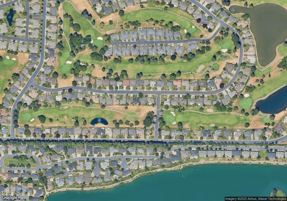
Map
Nearby Homes
- 475 Snead Dr N
- 542 Fountain Ct N
- 452 Fountain Ct N
- 282 Crystal Springs Ln N Unit 282
- 845 Sonata Ln N
- 6467 Hogan Dr N
- 507 Lakefair Place N
- 493 Lakefair Cir N
- 5749 Waterford Way N
- 6102 Trevino Ct N
- 391 McNary Heights Dr N
- 371 McNary Heights Dr N
- 271 McNary Heights Dr N
- 965 Sagrada Cir N
- 5355 River Rd N
- 5355 River Rd N Unit 85
- 5355 River Rd N Unit 78
- 5355 River Rd N Unit 126
- 6719 Westridge Ct N
- 336 Bolf Terrace N
- 540 Snead Dr N
- 520 Snead Dr N
- 550 Snead Dr N
- 529 Snead Dr N
- 535 Snead Dr N
- 519 Snead Dr N
- 545 Snead Dr N
- 560 Snead Dr N
- 490 Snead Dr N
- 555 Snead Dr N
- 565 Snead Dr N
- 485 Snead Dr N
- 480 Snead Dr N
- 529 McNary Estates Dr N
- 519 McNary Estates Dr N
- 580 Snead Dr N
- 549 McNary Estates Dr N
- 575 Snead Dr N
- 559 McNary Estates Dr N
- 499 McNary Estates Dr N