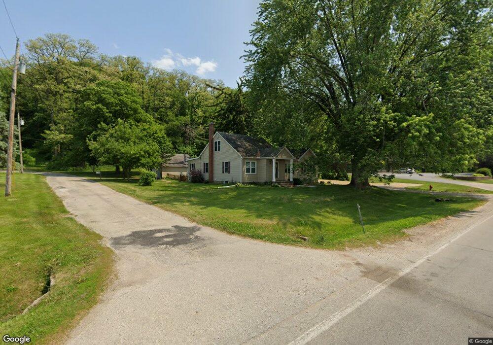
530 State Ave Hampton, IL 61256
Estimated Value: $211,000 - $268,000
3
Beds
1
Bath
1,498
Sq Ft
$159/Sq Ft
Est. Value
About This Home
This home is located at 530 State Ave, Hampton, IL 61256 and is currently estimated at $238,827, approximately $159 per square foot. 530 State Ave is a home located in Rock Island County with nearby schools including Hampton Elementary School, United Township High School, and Our Lady Of Grace.
Create a Home Valuation Report for This Property
The Home Valuation Report is an in-depth analysis detailing your home's value as well as a comparison with similar homes in the area
Tax History
| Year | Tax Paid | Tax Assessment Tax Assessment Total Assessment is a certain percentage of the fair market value that is determined by local assessors to be the total taxable value of land and additions on the property. | Land | Improvement |
|---|---|---|---|---|
| 2024 | $5,676 | $77,126 | $12,280 | $64,846 |
| 2023 | $5,676 | $72,283 | $11,509 | $60,774 |
| 2022 | $5,376 | $66,965 | $10,663 | $56,302 |
| 2021 | $5,125 | $64,020 | $10,194 | $53,826 |
| 2020 | $5,036 | $63,198 | $10,063 | $53,135 |
| 2019 | $4,801 | $62,050 | $9,880 | $52,170 |
| 2018 | $3,019 | $42,797 | $5,568 | $37,229 |
| 2017 | $2,898 | $41,999 | $5,464 | $36,535 |
| 2016 | $2,871 | $41,790 | $5,437 | $36,353 |
| 2015 | $2,487 | $38,247 | $5,330 | $32,917 |
| 2014 | $441 | $37,288 | $5,196 | $32,092 |
| 2013 | $441 | $37,288 | $5,196 | $32,092 |
Source: Public Records
Map
Nearby Homes
- 304 7th St
- LOT 201 James St
- 728 10th Avenue Ct
- 115 8th St
- 729 10th Ave
- 23 Cherry Hill Ct Unit 124
- 1005 5th Street A
- 513 12th Ave
- 626 14th Ave
- 242 S State Ave
- 24711 178th St
- 0 12th Unit L 13
- Lot 1 Kennedy
- 0 12th Unit L 11
- 0 12th Unit L 3
- 0 12th Unit L 2
- 0 12th Unit L 1
- 0 12th Unit L 14
- 0 12th Unit 17
- 0 12th Unit L 12
Your Personal Tour Guide
Ask me questions while you tour the home.