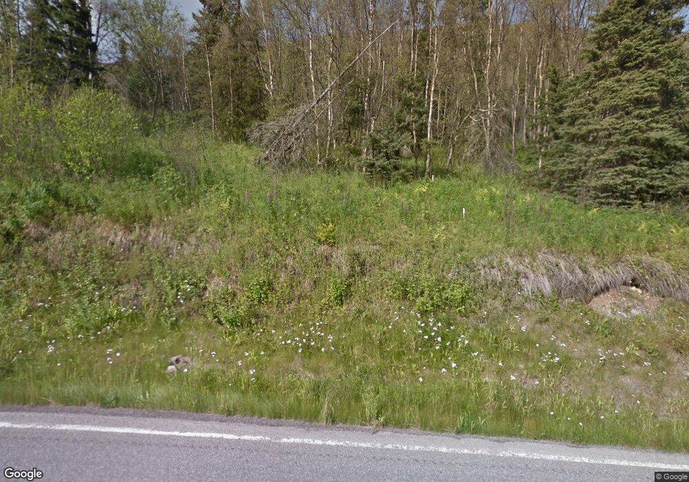
5300 Hiland Rd Eagle River, AK 99577
South Fork NeighborhoodEstimated Value: $540,000 - $787,854
2
Beds
3
Baths
3,806
Sq Ft
$174/Sq Ft
Est. Value
About This Home
This home is located at 5300 Hiland Rd, Eagle River, AK 99577 and is currently estimated at $663,927, approximately $174 per square foot. 5300 Hiland Rd is a home located in Anchorage Municipality with nearby schools including Homestead Elementary School, Gruening Middle School, and Eagle River High School.
Ownership History
Date
Name
Owned For
Owner Type
Purchase Details
Closed on
Nov 30, 2001
Sold by
Hesser Rebecca
Bought by
Horst David A and Hesser Rebecca
Current Estimated Value
Home Financials for this Owner
Home Financials are based on the most recent Mortgage that was taken out on this home.
Original Mortgage
$220,000
Interest Rate
6.67%
Create a Home Valuation Report for This Property
The Home Valuation Report is an in-depth analysis detailing your home's value as well as a comparison with similar homes in the area
Home Values in the Area
Average Home Value in this Area
Purchase History
| Date | Buyer | Sale Price | Title Company |
|---|---|---|---|
| Horst David A | -- | Land Title Company |
Source: Public Records
Mortgage History
| Date | Status | Borrower | Loan Amount |
|---|---|---|---|
| Closed | Horst David A | $220,000 |
Source: Public Records
Tax History Compared to Growth
Tax History
| Year | Tax Paid | Tax Assessment Tax Assessment Total Assessment is a certain percentage of the fair market value that is determined by local assessors to be the total taxable value of land and additions on the property. | Land | Improvement |
|---|---|---|---|---|
| 2025 | $7,252 | $687,600 | $119,100 | $568,500 |
| 2024 | $7,252 | $701,600 | $119,100 | $582,500 |
| 2023 | $10,862 | $660,300 | $115,000 | $545,300 |
| 2022 | $7,240 | $636,400 | $115,000 | $521,400 |
| 2021 | $10,439 | $590,100 | $115,000 | $475,100 |
| 2020 | $5,947 | $582,200 | $115,000 | $467,200 |
| 2019 | $6,141 | $582,400 | $115,000 | $467,400 |
| 2018 | $5,731 | $556,600 | $115,000 | $441,600 |
| 2017 | $6,409 | $575,100 | $115,000 | $460,100 |
| 2016 | $7,368 | $577,800 | $115,000 | $462,800 |
| 2015 | $7,368 | $551,300 | $111,000 | $440,300 |
| 2014 | $7,368 | $534,800 | $91,100 | $443,700 |
Source: Public Records
Map
Nearby Homes
- 4527 Birdsong Dr
- 00000 No Street Name
- 3915 Hiland Rd
- L6 River Cir
- 10 Unknown St
- L9 Stone Hill Dr
- Lot 2 W River Dr
- 20638 Driftwood Bay Dr
- 000 Hiland Rd
- 20779 Mountain Vista Dr
- 19950 Driftwood Bay Dr Unit 7
- 8867 Eagle Place Loop Unit 2
- L3 B1 Hamann Rd
- 20101 Eagles Nest Ct Unit 15
- 19103 Trail Bay Dr
- 18932 Mountain Point Dr
- 20537 Ptarmigan Blvd
- 9545 Grey Owl Way
- 18616 Little Cape Cir
- 19752 S Montague Loop
- 5317 Hiland Rd
- 5414 Hiland Rd
- 5235 Hiland Rd
- 5128 Hiland Rd
- 5300 Wild Mountain Dr
- 5465 Hiland Rd
- 5240 Wild Mountain Dr
- 5050 Hiland Rd
- 5416 Wild Mountain Dr
- 5050 Randi Ct
- 5525 Hiland Rd
- 5540 Hiland Rd
- 5500 Wild Mountain Dr
- 5241 Wild Mountain Dr
- 5038 Hiland Rd
- 5010 Randi Ct
- 5345 Wild Mountain Dr
- 5221 Wild Mountain Dr
- 5061 Randi Ct
- 4916 Hiland Rd
