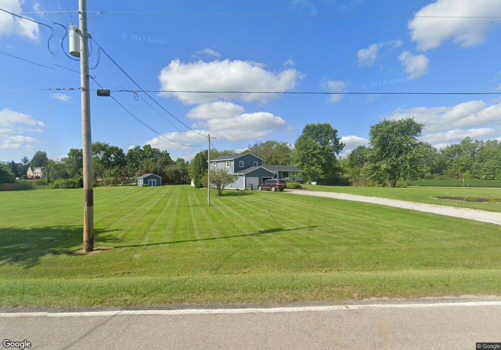
53001 Ward Rd Wakeman, OH 44889
Estimated Value: $315,000 - $436,000
4
Beds
4
Baths
2,510
Sq Ft
$148/Sq Ft
Est. Value
About This Home
This home is located at 53001 Ward Rd, Wakeman, OH 44889 and is currently estimated at $370,243, approximately $147 per square foot. 53001 Ward Rd is a home located in Lorain County with nearby schools including Firelands Elementary School, Firelands Middle School, and Firelands High School.
Ownership History
Date
Name
Owned For
Owner Type
Purchase Details
Closed on
Dec 6, 2004
Sold by
First Merit Bank Na
Bought by
Coon James W and Coon Ann M
Current Estimated Value
Home Financials for this Owner
Home Financials are based on the most recent Mortgage that was taken out on this home.
Original Mortgage
$132,000
Outstanding Balance
$67,291
Interest Rate
6%
Mortgage Type
Purchase Money Mortgage
Estimated Equity
$302,952
Purchase Details
Closed on
Apr 29, 2004
Sold by
Crisp Joseph D and Crisp Katherine L
Bought by
Firstmerit Bank Na
Create a Home Valuation Report for This Property
The Home Valuation Report is an in-depth analysis detailing your home's value as well as a comparison with similar homes in the area
Purchase History
| Date | Buyer | Sale Price | Title Company |
|---|---|---|---|
| Coon James W | $165,000 | Northstar Title Services | |
| Firstmerit Bank Na | $130,000 | -- |
Source: Public Records
Mortgage History
| Date | Status | Borrower | Loan Amount |
|---|---|---|---|
| Open | Coon James W | $132,000 | |
| Closed | Coon James W | $33,000 |
Source: Public Records
Tax History
| Year | Tax Paid | Tax Assessment Tax Assessment Total Assessment is a certain percentage of the fair market value that is determined by local assessors to be the total taxable value of land and additions on the property. | Land | Improvement |
|---|---|---|---|---|
| 2024 | $4,502 | $103,579 | $21,714 | $81,865 |
| 2023 | $4,178 | $85,743 | $21,018 | $64,726 |
| 2022 | $4,034 | $85,743 | $21,018 | $64,726 |
| 2021 | $4,031 | $85,743 | $21,018 | $64,726 |
| 2020 | $3,652 | $74,050 | $18,150 | $55,900 |
| 2019 | $3,626 | $74,050 | $18,150 | $55,900 |
| 2018 | $3,610 | $74,050 | $18,150 | $55,900 |
| 2017 | $3,504 | $72,080 | $19,220 | $52,860 |
| 2016 | $3,533 | $72,080 | $19,220 | $52,860 |
| 2015 | $3,536 | $72,080 | $19,220 | $52,860 |
| 2014 | $3,413 | $68,210 | $18,190 | $50,020 |
| 2013 | $3,332 | $68,210 | $18,190 | $50,020 |
Source: Public Records
Map
Nearby Homes
- V/L Baird Rd
- 15319 State Route 113
- 7218 State Route 60
- 14416 State Route 113
- Lot 1 Ohio 113
- 13514 State Route 113
- 50902 Becker Rd
- 50963 Becker Rd
- 5226 State Route 60
- 51001 Portman Rd
- 9113 Dean Rd
- 9719 Harrison Rd
- 9708 Harrison Rd
- Lot B Gifford Rd
- 15617 Sperry Rd
- 525 Church St
- 11909 Joppa Rd
- 13830 Baumhart Rd
- 15608 Mason Rd
- 15615 Mason Rd
Your Personal Tour Guide
Ask me questions while you tour the home.