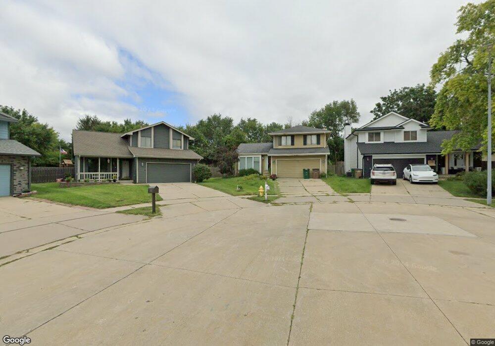
5301 Colt Dr West Des Moines, IA 50266
Estimated Value: $304,000 - $310,000
3
Beds
3
Baths
1,380
Sq Ft
$222/Sq Ft
Est. Value
About This Home
This home is located at 5301 Colt Dr, West Des Moines, IA 50266 and is currently estimated at $306,441, approximately $222 per square foot. 5301 Colt Dr is a home located in Polk County with nearby schools including Westridge Elementary School, Valley Southwoods Freshman High School, and Indian Hills Junior High School.
Ownership History
Date
Name
Owned For
Owner Type
Purchase Details
Closed on
Mar 3, 2001
Sold by
Brandt Sue Ann and Brandt Donal E
Bought by
Hopkins Cheri J
Current Estimated Value
Home Financials for this Owner
Home Financials are based on the most recent Mortgage that was taken out on this home.
Original Mortgage
$124,950
Outstanding Balance
$45,498
Interest Rate
7.02%
Mortgage Type
FHA
Estimated Equity
$260,943
Create a Home Valuation Report for This Property
The Home Valuation Report is an in-depth analysis detailing your home's value as well as a comparison with similar homes in the area
Home Values in the Area
Average Home Value in this Area
Purchase History
| Date | Buyer | Sale Price | Title Company |
|---|---|---|---|
| Hopkins Cheri J | $126,500 | -- |
Source: Public Records
Mortgage History
| Date | Status | Borrower | Loan Amount |
|---|---|---|---|
| Open | Hopkins Cheri J | $124,950 |
Source: Public Records
Tax History Compared to Growth
Tax History
| Year | Tax Paid | Tax Assessment Tax Assessment Total Assessment is a certain percentage of the fair market value that is determined by local assessors to be the total taxable value of land and additions on the property. | Land | Improvement |
|---|---|---|---|---|
| 2024 | $3,938 | $258,900 | $61,100 | $197,800 |
| 2023 | $4,084 | $258,900 | $61,100 | $197,800 |
| 2022 | $4,034 | $220,400 | $52,800 | $167,600 |
| 2021 | $4,006 | $220,400 | $52,800 | $167,600 |
| 2020 | $3,942 | $208,400 | $49,900 | $158,500 |
| 2019 | $3,738 | $208,400 | $49,900 | $158,500 |
| 2018 | $3,742 | $191,000 | $44,900 | $146,100 |
| 2017 | $3,490 | $191,000 | $44,900 | $146,100 |
| 2016 | $3,410 | $173,600 | $40,100 | $133,500 |
| 2015 | $3,410 | $173,600 | $40,100 | $133,500 |
| 2014 | $2,992 | $156,500 | $35,700 | $120,800 |
Source: Public Records
Map
Nearby Homes
- 5305 Colt Dr
- 5304 Colt Dr
- 5313 Colt Dr
- 5304 Brookview Dr
- 5308 Colt Dr
- 5312 Colt Dr
- 5300 Brookview Dr
- 5308 Brookview Dr
- 5317 Colt Dr
- 5316 Colt Dr
- 5310 Brookview Dr
- 5321 Colt Dr
- 5320 Colt Dr
- 5313 Meadow Place
- 5316 Brookview Dr
- 5301 Meadow Place
- 5301 Brookview Dr
- 5325 Colt Dr
- 5324 Colt Dr
- 5320 Brookview Dr