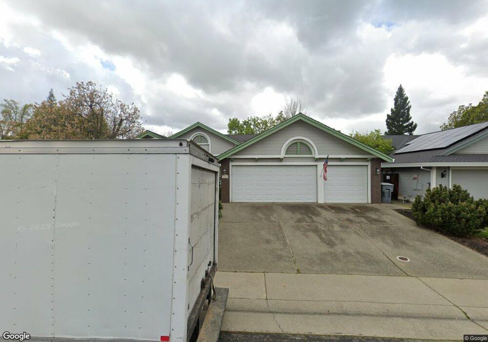
5301 Thunder Ridge Cir Rocklin, CA 95765
Sunset Whitney NeighborhoodEstimated Value: $615,000 - $708,000
3
Beds
2
Baths
2,046
Sq Ft
$324/Sq Ft
Est. Value
About This Home
This home is located at 5301 Thunder Ridge Cir, Rocklin, CA 95765 and is currently estimated at $663,860, approximately $324 per square foot. 5301 Thunder Ridge Cir is a home located in Placer County with nearby schools including Cobblestone Elementary School, Granite Oaks Middle, and Rocklin High.
Ownership History
Date
Name
Owned For
Owner Type
Purchase Details
Closed on
Mar 8, 2021
Sold by
Wooden Chris Conrad and Wooden Jill Ann
Bought by
Wooden Chris Conrad and Wooden Jill Ann
Current Estimated Value
Home Financials for this Owner
Home Financials are based on the most recent Mortgage that was taken out on this home.
Original Mortgage
$295,000
Outstanding Balance
$264,447
Interest Rate
2.7%
Mortgage Type
New Conventional
Estimated Equity
$399,413
Purchase Details
Closed on
Nov 16, 1993
Sold by
Southfork Partnership
Bought by
Wooden Chris C
Home Financials for this Owner
Home Financials are based on the most recent Mortgage that was taken out on this home.
Original Mortgage
$179,100
Interest Rate
6.85%
Mortgage Type
Purchase Money Mortgage
Create a Home Valuation Report for This Property
The Home Valuation Report is an in-depth analysis detailing your home's value as well as a comparison with similar homes in the area
Home Values in the Area
Average Home Value in this Area
Purchase History
| Date | Buyer | Sale Price | Title Company |
|---|---|---|---|
| Wooden Chris Conrad | -- | Chicago Title Company | |
| Wooden Chris C | $199,000 | Chicago Title Company |
Source: Public Records
Mortgage History
| Date | Status | Borrower | Loan Amount |
|---|---|---|---|
| Open | Wooden Chris Conrad | $295,000 | |
| Closed | Wooden Chris C | $179,100 |
Source: Public Records
Tax History Compared to Growth
Tax History
| Year | Tax Paid | Tax Assessment Tax Assessment Total Assessment is a certain percentage of the fair market value that is determined by local assessors to be the total taxable value of land and additions on the property. | Land | Improvement |
|---|---|---|---|---|
| 2025 | $3,707 | $341,971 | $135,958 | $206,013 |
| 2023 | $3,707 | $328,694 | $130,680 | $198,014 |
| 2022 | $3,586 | $322,250 | $128,118 | $194,132 |
| 2021 | $3,546 | $315,932 | $125,606 | $190,326 |
| 2020 | $3,540 | $312,694 | $124,319 | $188,375 |
| 2019 | $3,491 | $306,564 | $121,882 | $184,682 |
| 2018 | $3,401 | $300,554 | $119,493 | $181,061 |
| 2017 | $3,403 | $294,661 | $117,150 | $177,511 |
| 2016 | $3,306 | $288,884 | $114,853 | $174,031 |
| 2015 | $3,265 | $284,545 | $113,128 | $171,417 |
| 2014 | $3,207 | $278,972 | $110,912 | $168,060 |
Source: Public Records
Map
Nearby Homes
- 5247 Silver Peak Ln
- 4270 Midas Ave
- 3203 Thistle Ct
- 3120 Aaron Dr
- 3114 Aaron Dr
- 5406 Butte Cir
- 4114 Rawhide Rd
- 3425 Cimmeron Ct
- 4080 Silver St
- 5601 Grand View Ct
- 5638 Terrace Dr
- 1816 Illinois Way Unit 48
- 1405 Indiana Way
- 4209 Silver Spur Ct
- 1404 Indiana Way Unit 72
- 3563 Creekwood Dr
- 0 Skyline Dr Unit 225004715
- 3962 Rawhide Rd
- 3204 Camelot Dr
- 4834 Blaydon Rd
- 5303 Thunder Ridge Cir
- 3407 Stormy Ct
- 5305 Thunder Ridge Cir
- 3300 Southwind Cir
- 3409 Stormy Ct
- 3510 Fieldcrest Ct
- 3511 Fieldcrest Ct
- 3405 Stormy Ct
- 3302 Southwind Cir
- 3403 Stormy Ct
- 5304 Thunder Ridge Cir
- 3521 Evergreen Ct
- 3512 Fieldcrest Ct
- 3513 Fieldcrest Ct
- 3500 Hawkhaven Dr
- 5306 Thunder Ridge Cir
- 3304 Southwind Cir
- 3411 Stormy Ct
- 3303 Southwind Cir
- 3502 Hawkhaven Dr