Estimated Value: $202,000 - $224,000
1
Bed
--
Bath
384
Sq Ft
$551/Sq Ft
Est. Value
About This Home
This home is located at 5302 400th St, Rice, MN 56367 and is currently estimated at $211,519, approximately $550 per square foot. 5302 400th St is a home located in Stearns County with nearby schools including Oak Ridge Elementary School, Sartell Middle School, and Sartell Senior High School.
Ownership History
Date
Name
Owned For
Owner Type
Purchase Details
Closed on
Aug 10, 2021
Sold by
Tony N Hanson Ret
Bought by
C4d Llc
Current Estimated Value
Purchase Details
Closed on
Jul 17, 2020
Sold by
Hanson Tony N
Bought by
Tony N Hanson T
Purchase Details
Closed on
May 11, 1998
Sold by
Taylor
Bought by
Hanson
Purchase Details
Closed on
May 26, 1992
Sold by
Taylor Derrick
Bought by
Hanson Tony
Create a Home Valuation Report for This Property
The Home Valuation Report is an in-depth analysis detailing your home's value as well as a comparison with similar homes in the area
Home Values in the Area
Average Home Value in this Area
Purchase History
| Date | Buyer | Sale Price | Title Company |
|---|---|---|---|
| C4d Llc | $130,000 | Misc Company | |
| Tony N Hanson T | -- | None Available | |
| Hanson | -- | -- | |
| Hanson Tony | $35,500 | -- | |
| -- | $130,000 | -- |
Source: Public Records
Mortgage History
| Date | Status | Borrower | Loan Amount |
|---|---|---|---|
| Closed | -- | $128,000 |
Source: Public Records
Tax History Compared to Growth
Tax History
| Year | Tax Paid | Tax Assessment Tax Assessment Total Assessment is a certain percentage of the fair market value that is determined by local assessors to be the total taxable value of land and additions on the property. | Land | Improvement |
|---|---|---|---|---|
| 2025 | $1,294 | $151,100 | $148,900 | $2,200 |
| 2024 | $1,284 | $141,200 | $139,600 | $1,600 |
| 2023 | $1,484 | $141,300 | $139,600 | $1,700 |
| 2022 | $2,202 | $189,400 | $185,800 | $3,600 |
| 2021 | $2,264 | $189,400 | $185,800 | $3,600 |
| 2020 | $2,364 | $189,100 | $185,800 | $3,300 |
| 2019 | $2,512 | $188,400 | $185,800 | $2,600 |
| 2018 | $2,600 | $188,100 | $185,800 | $2,300 |
| 2017 | $2,638 | $187,200 | $184,800 | $2,400 |
| 2016 | $2,360 | $0 | $0 | $0 |
| 2015 | $2,504 | $0 | $0 | $0 |
| 2014 | -- | $0 | $0 | $0 |
Source: Public Records
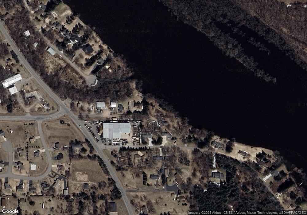
Map
Nearby Homes
- 5273 Ulster Rd
- 39743 County Road 1
- 5494 398th St
- tbd Ferry Point Place NW
- xxx County Road 1
- 38746 County Road 1
- xxx Lot 4 10th Ave NW
- xxx Lot 5 10th Ave NW
- xxx Lot 2 10th Ave NW
- xxx Lot 3 10th Ave NW
- 9175 Lakewood Shore Rd NW
- L1B3 E Crest Loop
- L2B3 E Crest Loop
- 38481 Deer Ct
- L1B4 E Crest Loop
- L2B4 E Crest Loop
- L3B4 E Crest Loop
- L2B6 E Crest Loop
- L3B6 E Crest Loop
- L1B6 E Crest Loop
- 5302 400th St
- 5251 400th St
- 5308 400th St
- 5214 Ulster Rd
- 5214 5214 Ulster Rd
- 5248 Ulster Rd
- 5340 400th St
- 5227 Ulster Rd
- 5370 400th St
- 5321 Ulster Rd
- 40074 Wallaby Rd
- 5238 399th St
- 39814 County Road 1
- 39812 County Road 1
- 39838 County Road 1
- 39709 County Road 1
- 39768 County Road 1
- 5212 399th St
- 40082 Wallaby Rd
- 5276 399th St