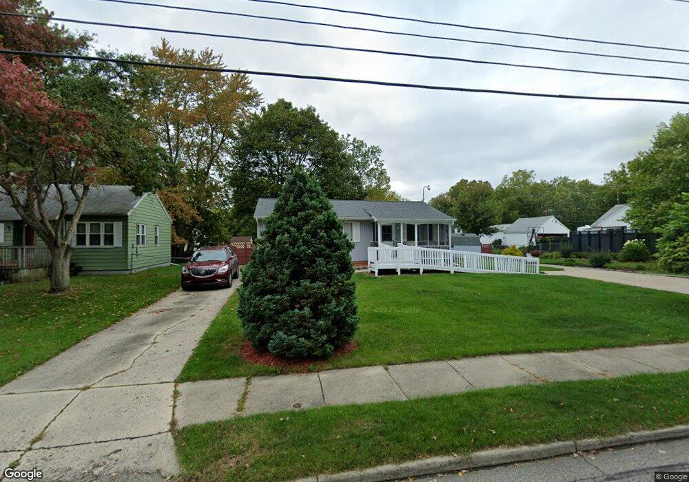
5302 Hughes Rd Lansing, MI 48911
Southern Lansing NeighborhoodEstimated Value: $121,000 - $155,476
3
Beds
1
Bath
988
Sq Ft
$145/Sq Ft
Est. Value
About This Home
This home is located at 5302 Hughes Rd, Lansing, MI 48911 and is currently estimated at $142,869, approximately $144 per square foot. 5302 Hughes Rd is a home located in Ingham County with nearby schools including Reo Elementary School, Attwood School, and Everett High School.
Ownership History
Date
Name
Owned For
Owner Type
Purchase Details
Closed on
Feb 8, 2023
Sold by
Canady Kenneth L
Bought by
Canady Kenneth L
Current Estimated Value
Purchase Details
Closed on
Mar 17, 2000
Sold by
Bushard Garth A and Bushard Joyce M
Bought by
Canady Kenneth and Canady Janice N
Home Financials for this Owner
Home Financials are based on the most recent Mortgage that was taken out on this home.
Original Mortgage
$76,050
Interest Rate
11.5%
Mortgage Type
Purchase Money Mortgage
Create a Home Valuation Report for This Property
The Home Valuation Report is an in-depth analysis detailing your home's value as well as a comparison with similar homes in the area
Home Values in the Area
Average Home Value in this Area
Purchase History
| Date | Buyer | Sale Price | Title Company |
|---|---|---|---|
| Canady Kenneth L | -- | -- | |
| Canady Kenneth | $84,500 | -- |
Source: Public Records
Mortgage History
| Date | Status | Borrower | Loan Amount |
|---|---|---|---|
| Previous Owner | Canady Kenneth | $76,050 |
Source: Public Records
Tax History Compared to Growth
Tax History
| Year | Tax Paid | Tax Assessment Tax Assessment Total Assessment is a certain percentage of the fair market value that is determined by local assessors to be the total taxable value of land and additions on the property. | Land | Improvement |
|---|---|---|---|---|
| 2025 | $2,652 | $70,400 | $9,100 | $61,300 |
| 2024 | $21 | $53,200 | $9,100 | $44,100 |
| 2023 | $2,487 | $47,000 | $9,100 | $37,900 |
| 2022 | $2,243 | $45,500 | $5,800 | $39,700 |
| 2021 | $2,151 | $41,600 | $5,600 | $36,000 |
| 2020 | $2,138 | $39,800 | $5,600 | $34,200 |
| 2019 | $2,048 | $37,500 | $5,600 | $31,900 |
| 2018 | $1,921 | $33,200 | $5,600 | $27,600 |
| 2017 | $1,838 | $33,200 | $5,600 | $27,600 |
| 2016 | $1,758 | $32,600 | $5,600 | $27,000 |
| 2015 | $1,758 | $32,000 | $11,277 | $20,723 |
| 2014 | $1,758 | $30,900 | $18,324 | $12,576 |
Source: Public Records
Map
Nearby Homes
- 2045 Moffitt St
- 0 Midwood St
- 2416 Midwood St
- 4916 Tressa Dr
- 4620 Christiansen Rd
- 5838 S Martin Luther King Junior Blvd
- 4628 Pleasant Grove Rd
- 1729 Reo Rd
- 1324 N Briarfield Dr
- 5750 Ashley Dr
- 4828 Ingham St
- 1415 Reo Rd
- 0 W Jolly Rd
- 1420 Reo Rd
- 4809 Ballard Rd
- 1014 W Northrup St
- 1429 Pierce Rd
- 1500 Pierce Rd
- 1422 Pierce Rd
- 5026 Delray Dr Unit A
- 5312 Hughes Rd
- 5228 Hughes Rd
- 2012 Bradwell Ct
- 123 Mystreet
- 5235 Hughes Rd
- 5303 Hughes Rd
- 2018 Bradwell Ct
- 5313 Hughes Rd
- 5220 Hughes Rd
- 5225 Hughes Rd
- 2001 Bradwell Ct
- 5321 Hughes Rd
- 2024 Bradwell Ct
- 5212 Hughes Rd
- 5219 Hughes Rd
- 2015 Bradwell Ct
- 5330 Hughes Rd
- 2025 Bradwell Ct
- 5213 Hughes Rd
- 2019 Bradwell Ct