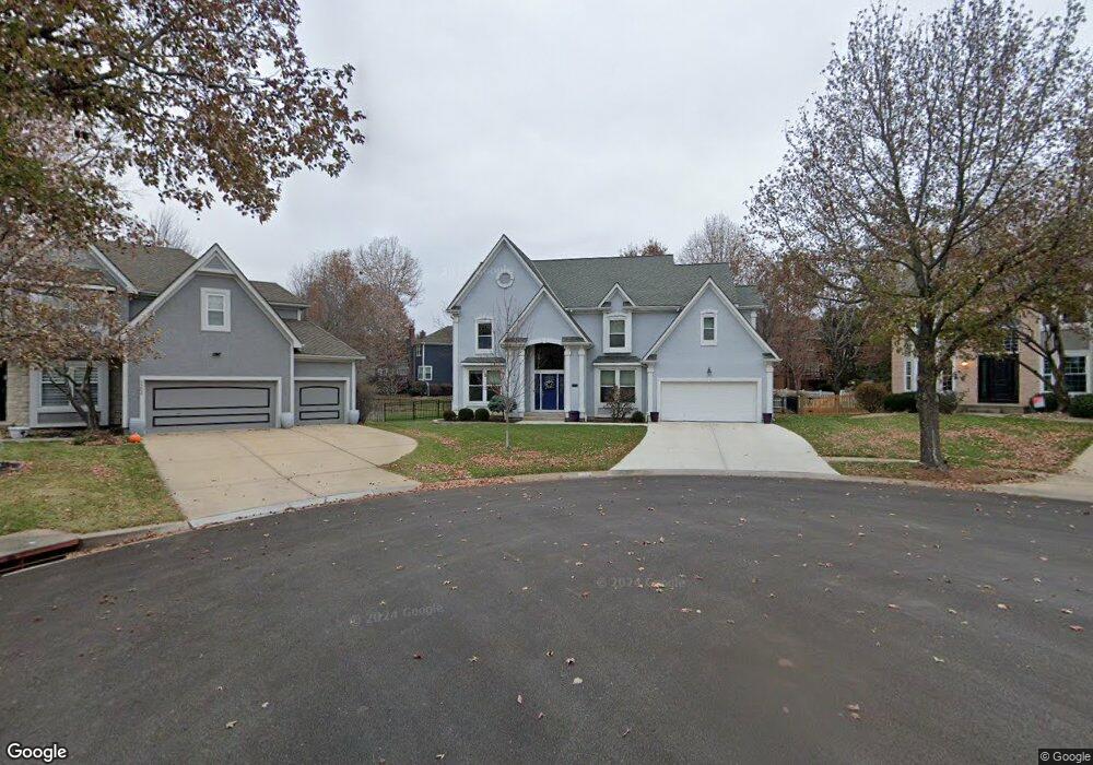
5303 W 132nd St Leawood, KS 66209
Estimated Value: $637,000 - $916,000
4
Beds
4
Baths
3,457
Sq Ft
$211/Sq Ft
Est. Value
About This Home
This home is located at 5303 W 132nd St, Leawood, KS 66209 and is currently estimated at $728,698, approximately $210 per square foot. 5303 W 132nd St is a home located in Johnson County with nearby schools including Overland Trail Elementary School, Overland Trail Middle School, and Blue Valley North High School.
Ownership History
Date
Name
Owned For
Owner Type
Purchase Details
Closed on
Sep 10, 2025
Sold by
Thompson Jeffrey Scott and Thompson Leesa Guyton
Bought by
Thompson Trust
Current Estimated Value
Purchase Details
Closed on
Apr 19, 2013
Sold by
Thompson Leesa and Thompson Leesa Guyton
Bought by
Thompson Leesa Guyton and Thompson Jeffrey Scott
Home Financials for this Owner
Home Financials are based on the most recent Mortgage that was taken out on this home.
Original Mortgage
$210,000
Interest Rate
2.84%
Mortgage Type
New Conventional
Create a Home Valuation Report for This Property
The Home Valuation Report is an in-depth analysis detailing your home's value as well as a comparison with similar homes in the area
Home Values in the Area
Average Home Value in this Area
Purchase History
| Date | Buyer | Sale Price | Title Company |
|---|---|---|---|
| Thompson Trust | -- | None Listed On Document | |
| Thompson Leesa Guyton | -- | None Available |
Source: Public Records
Mortgage History
| Date | Status | Borrower | Loan Amount |
|---|---|---|---|
| Previous Owner | Thompson Leesa Guyton | $210,000 |
Source: Public Records
Tax History Compared to Growth
Tax History
| Year | Tax Paid | Tax Assessment Tax Assessment Total Assessment is a certain percentage of the fair market value that is determined by local assessors to be the total taxable value of land and additions on the property. | Land | Improvement |
|---|---|---|---|---|
| 2024 | $6,497 | $63,285 | $12,412 | $50,873 |
| 2023 | $5,925 | $56,856 | $12,412 | $44,444 |
| 2022 | $5,297 | $49,956 | $12,412 | $37,544 |
| 2021 | $5,238 | $46,885 | $11,825 | $35,060 |
| 2020 | $5,358 | $47,633 | $9,463 | $38,170 |
| 2019 | $4,938 | $42,976 | $6,759 | $36,217 |
| 2018 | $4,933 | $42,079 | $6,759 | $35,320 |
| 2017 | $4,845 | $40,595 | $6,759 | $33,836 |
| 2016 | $4,541 | $38,031 | $6,759 | $31,272 |
| 2015 | $4,480 | $37,364 | $6,759 | $30,605 |
| 2013 | -- | $34,132 | $6,759 | $27,373 |
Source: Public Records
Map
Nearby Homes
- 13143 Rosewood St
- 4989 W 131st Place
- 3349 W 133rd Terrace
- 3345 W 133rd Terrace
- 3357 W 133rd Terrace
- 5617 W 131st St
- 4908 W 131st Terrace
- 3144 W 133rd Terrace
- 3456 W 133rd Terrace
- 3260 W 133rd Terrace
- 3344 W 133rd Terrace
- 2760 W 133rd Terrace
- 2756 W 133rd Terrace
- 2840 W 133rd Terrace
- 2844 W 133rd Terrace
- 3352 W 133rd Terrace
- 3248 W 133rd Terrace
- 2846 W 133rd Terrace
- 2852 W 133rd Terrace
- 2860 W 133rd Terrace
- 5304 W 132nd St
- 5307 W 132nd St
- 13150 Rosewood Dr
- 13146 Rosewood St
- 13146 Rosewood Dr
- 13158 Rosewood Dr
- 13158 Rosewood St
- 5308 W 132nd St
- 5311 W 132nd St
- 13154 Rosewood Dr
- 13154 Rosewood St
- 13141 Birch St
- 13162 Rosewood Dr
- 13137 Birch St
- 13145 Birch St
- 5312 W 132nd St
- 13142 Rosewood Dr
- 13133 Birch St
- 5315 W 132nd St
- 13149 Birch St