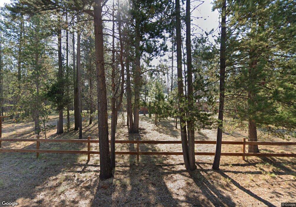
53030 Loop Dr La Pine, OR 97739
Estimated Value: $424,000 - $549,000
2
Beds
1
Bath
1,092
Sq Ft
$430/Sq Ft
Est. Value
About This Home
This home is located at 53030 Loop Dr, La Pine, OR 97739 and is currently estimated at $469,822, approximately $430 per square foot. 53030 Loop Dr is a home located in Deschutes County with nearby schools including Rosland Elementary School, La Pine Middle School, and La Pine Senior High School.
Ownership History
Date
Name
Owned For
Owner Type
Purchase Details
Closed on
Jan 7, 2021
Sold by
Morgan Rebecca P
Bought by
Morgan Michael R
Current Estimated Value
Home Financials for this Owner
Home Financials are based on the most recent Mortgage that was taken out on this home.
Original Mortgage
$219,000
Outstanding Balance
$158,971
Interest Rate
2.7%
Mortgage Type
New Conventional
Estimated Equity
$310,851
Purchase Details
Closed on
Sep 11, 2007
Sold by
Beesley Alfred G and Beesley Marva J
Bought by
Morgan Michael R and Morgan Rebecca P
Home Financials for this Owner
Home Financials are based on the most recent Mortgage that was taken out on this home.
Original Mortgage
$172,000
Interest Rate
6.61%
Mortgage Type
Unknown
Create a Home Valuation Report for This Property
The Home Valuation Report is an in-depth analysis detailing your home's value as well as a comparison with similar homes in the area
Home Values in the Area
Average Home Value in this Area
Purchase History
| Date | Buyer | Sale Price | Title Company |
|---|---|---|---|
| Morgan Michael R | $133,000 | Western Title | |
| Morgan Michael R | $215,000 | Amerititle |
Source: Public Records
Mortgage History
| Date | Status | Borrower | Loan Amount |
|---|---|---|---|
| Open | Morgan Michael R | $219,000 | |
| Previous Owner | Morgan Michael R | $172,000 |
Source: Public Records
Tax History
| Year | Tax Paid | Tax Assessment Tax Assessment Total Assessment is a certain percentage of the fair market value that is determined by local assessors to be the total taxable value of land and additions on the property. | Land | Improvement |
|---|---|---|---|---|
| 2025 | $2,829 | $168,240 | -- | -- |
| 2024 | $2,713 | $163,340 | -- | -- |
| 2023 | $2,653 | $158,590 | $0 | $0 |
| 2022 | $2,360 | $149,500 | $0 | $0 |
| 2021 | $2,375 | $145,150 | $0 | $0 |
| 2020 | $2,252 | $145,150 | $0 | $0 |
| 2019 | $2,190 | $140,930 | $0 | $0 |
| 2018 | $2,128 | $136,830 | $0 | $0 |
| 2017 | $2,073 | $132,850 | $0 | $0 |
| 2016 | $1,977 | $128,990 | $0 | $0 |
| 2015 | $1,923 | $125,240 | $0 | $0 |
| 2014 | $1,864 | $121,600 | $0 | $0 |
Source: Public Records
Map
Nearby Homes
- 53001 Loop Dr
- 16762 Sandy Ct
- 52844 Timber Lane Loop
- 53262 Riverview Dr
- 52885 Meadow Ln
- 16395 Dawn Rd
- 16177 Aqua Rd
- 53345 Riverview Dr
- 16138 Del Pino Dr
- 16115 Del Pino Dr
- 53475 Bridge Dr
- 16105 Dyke Rd
- 16760 Pine Place
- 16083 Dyke Rd Unit 9
- 53465 Kokanee Ln
- 53530 Bridge Dr
- 16066 Dyke Rd
- 16255 Paulina View Rd
- 53090 Day Rd
- 16032 Dyke Rd
