5305 Canter Ln Rocklin, CA 95677
Estimated Value: $662,000 - $781,000
3
Beds
2
Baths
1,860
Sq Ft
$385/Sq Ft
Est. Value
About This Home
This home is located at 5305 Canter Ln, Rocklin, CA 95677 and is currently estimated at $715,923, approximately $384 per square foot. 5305 Canter Ln is a home with nearby schools including Del Oro High School, Loomis Basin Charter School, and Sierra Foothills Academy.
Ownership History
Date
Name
Owned For
Owner Type
Purchase Details
Closed on
May 5, 2023
Sold by
Maynard Courtney Elizabeth
Bought by
Courtney E Maynard Revocable Living Trust and Maynard
Current Estimated Value
Purchase Details
Closed on
Jun 15, 2020
Sold by
Kb Home Sacramento Inc
Bought by
Maynard Courtney Elizabeth
Home Financials for this Owner
Home Financials are based on the most recent Mortgage that was taken out on this home.
Original Mortgage
$458,658
Interest Rate
2.9%
Mortgage Type
New Conventional
Purchase Details
Closed on
May 15, 2020
Sold by
Maynard Brian Joseph
Bought by
Maynard Courtney Elizabeth
Home Financials for this Owner
Home Financials are based on the most recent Mortgage that was taken out on this home.
Original Mortgage
$458,658
Interest Rate
2.9%
Mortgage Type
New Conventional
Create a Home Valuation Report for This Property
The Home Valuation Report is an in-depth analysis detailing your home's value as well as a comparison with similar homes in the area
Home Values in the Area
Average Home Value in this Area
Purchase History
| Date | Buyer | Sale Price | Title Company |
|---|---|---|---|
| Courtney E Maynard Revocable Living Trust | -- | None Listed On Document | |
| Maynard Courtney Elizabeth | $573,500 | First American Title Company | |
| Maynard Courtney Elizabeth | -- | First American Title Company |
Source: Public Records
Mortgage History
| Date | Status | Borrower | Loan Amount |
|---|---|---|---|
| Previous Owner | Maynard Courtney Elizabeth | $458,658 |
Source: Public Records
Tax History Compared to Growth
Tax History
| Year | Tax Paid | Tax Assessment Tax Assessment Total Assessment is a certain percentage of the fair market value that is determined by local assessors to be the total taxable value of land and additions on the property. | Land | Improvement |
|---|---|---|---|---|
| 2025 | $8,039 | $613,839 | $184,013 | $429,826 |
| 2023 | $8,039 | $590,005 | $176,868 | $413,137 |
| 2022 | $7,868 | $578,437 | $173,400 | $405,037 |
| 2021 | $7,606 | $561,213 | $170,000 | $391,213 |
| 2020 | $1,989 | $60,180 | $60,180 | $0 |
Source: Public Records
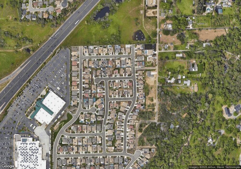
Map
Nearby Homes
- 4227 Whitethorn Dr
- 5403 Sandgrass Dr
- 5512 Sagehen Ct
- 5509 Sagehen Ct
- 4028 Hunter Oaks Ln
- Residence Five Plan at The Woods at Crowne Point
- The Starling Plan at The Lake at Crowne Point II
- Residence Two Plan at The Woods at Crowne Point
- Residence Four Plan at The Woods at Crowne Point
- Residence One Plan at The Woods at Crowne Point
- The Meadowlark Plan at The Lake at Crowne Point II
- Residence Three Plan at The Woods at Crowne Point
- The Cardinal Plan at The Lake at Crowne Point II
- The Crane Plan at The Lake at Crowne Point II
- 5726 Secret Creek Dr
- 3990 Noah Ln
- 5740 Golden Pond Dr
- 5731 Secret Creek Dr
- 1755 Sierra College Blvd
- 1855 Sierra College Blvd
- 5307 Canter Ln
- 5303 Canter Ln
- 5306 Canter Ln
- 5309 Canter Ln
- 5301 Canter Ln
- 5405 Bradall Ln
- 5403 Bradall Ln
- 5407 Bradall Ln
- 5310 Canter Ct
- 5401 Bradall Ln
- 5409 Bradall Ln
- 5400 Bradall Ln
- 5407 Bradall Ln
- 4421 Mesquite Way
- 4282 Whitethorn Dr
- 4276 Whitethorn Dr
- 4419 Mesquite Way
- 5315 Canter Ct
- 4294 Whitethorn Dr
- 5414 Sandgrass Dr