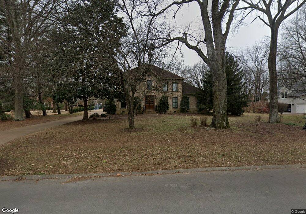
5305 McGavock Rd Brentwood, TN 37027
Estimated Value: $1,480,141 - $2,140,000
--
Bed
5
Baths
3,917
Sq Ft
$483/Sq Ft
Est. Value
About This Home
This home is located at 5305 McGavock Rd, Brentwood, TN 37027 and is currently estimated at $1,891,035, approximately $482 per square foot. 5305 McGavock Rd is a home located in Williamson County with nearby schools including Scales Elementary School, Brentwood Middle School, and Brentwood High School.
Ownership History
Date
Name
Owned For
Owner Type
Purchase Details
Closed on
Jun 11, 2007
Sold by
Motter James G and Motter Linda D
Bought by
Simmons Benjamin A and Simmons Jill H
Current Estimated Value
Home Financials for this Owner
Home Financials are based on the most recent Mortgage that was taken out on this home.
Original Mortgage
$613,600
Outstanding Balance
$374,033
Interest Rate
6.12%
Mortgage Type
Purchase Money Mortgage
Estimated Equity
$1,517,002
Create a Home Valuation Report for This Property
The Home Valuation Report is an in-depth analysis detailing your home's value as well as a comparison with similar homes in the area
Home Values in the Area
Average Home Value in this Area
Purchase History
| Date | Buyer | Sale Price | Title Company |
|---|---|---|---|
| Simmons Benjamin A | $767,000 | None Available |
Source: Public Records
Mortgage History
| Date | Status | Borrower | Loan Amount |
|---|---|---|---|
| Open | Simmons Benjamin A | $613,600 |
Source: Public Records
Tax History Compared to Growth
Tax History
| Year | Tax Paid | Tax Assessment Tax Assessment Total Assessment is a certain percentage of the fair market value that is determined by local assessors to be the total taxable value of land and additions on the property. | Land | Improvement |
|---|---|---|---|---|
| 2024 | $5,160 | $237,775 | $66,250 | $171,525 |
| 2023 | $5,160 | $237,775 | $66,250 | $171,525 |
| 2022 | $5,160 | $237,775 | $66,250 | $171,525 |
| 2021 | $5,160 | $237,775 | $66,250 | $171,525 |
| 2020 | $4,987 | $193,300 | $52,500 | $140,800 |
| 2019 | $4,987 | $193,300 | $52,500 | $140,800 |
| 2018 | $4,852 | $193,300 | $52,500 | $140,800 |
| 2017 | $4,813 | $193,300 | $52,500 | $140,800 |
| 2016 | $4,755 | $193,300 | $52,500 | $140,800 |
| 2015 | -- | $161,850 | $50,000 | $111,850 |
| 2014 | $712 | $161,850 | $50,000 | $111,850 |
Source: Public Records
Map
Nearby Homes
- 5217 Apple Mill Ct
- 5154 Hereford Ct
- 405 Oakvale Dr
- 721 Princeton Hills Dr
- 700 Princeton Hills Dr
- 704 Princeton Hills Dr
- 653 Chiswell Ct
- 5218 Meadowlake Rd
- 5172 Remington Dr
- 619 Granny White Pike
- 309 Hayeswood Dr
- 321 Granny White Pike
- 5238 Lysander Ln
- 102 Foxborough Square W
- 604 Foxborough Square W Unit 604
- 305 Hayeswood Dr
- 761 Sinclair Cir
- 5230 Lysander Ln
- 566 Midway Cir
- 404 Cornwall Dr
- 5309 McGavock Rd
- 5301 McGavock Rd
- 5310 Curlybark Place
- 5311 Curlybark Place
- 5304 McGavock Rd
- 658 Post Oak Cir
- 519 Pointer Place
- 5315 McGavock Rd
- 5300 McGavock Rd
- 5314 Curlybark Place
- 661 Post Oak Cir
- 515 Pointer Place
- 650 Post Oak Cir
- 5315 Curlybark Place
- 606 Post Oak Cir
- 642 Post Oak Cir
- 602 Post Oak Cir
- 509 Pointer Place
- 610 Post Oak Cir
- 504 Pointer Place