53053 275th Ave Plainview, MN 55964
Estimated Value: $484,000 - $654,144
5
Beds
4
Baths
5,152
Sq Ft
$111/Sq Ft
Est. Value
About This Home
This home is located at 53053 275th Ave, Plainview, MN 55964 and is currently estimated at $571,786, approximately $110 per square foot. 53053 275th Ave is a home located in Wabasha County with nearby schools including Plainview-Elgin-Millville Elementary School (PK-3), Plainview-Elgin-Millville Elementary School (4-6), and Plainview-Elgin-Millville Junior High School.
Ownership History
Date
Name
Owned For
Owner Type
Purchase Details
Closed on
Jul 17, 2009
Sold by
Cartr Timtohy Alan and Cordova Gian Ann
Bought by
Meyers Marty M
Current Estimated Value
Home Financials for this Owner
Home Financials are based on the most recent Mortgage that was taken out on this home.
Original Mortgage
$222,800
Outstanding Balance
$145,487
Interest Rate
5.32%
Mortgage Type
New Conventional
Estimated Equity
$426,299
Create a Home Valuation Report for This Property
The Home Valuation Report is an in-depth analysis detailing your home's value as well as a comparison with similar homes in the area
Purchase History
| Date | Buyer | Sale Price | Title Company |
|---|---|---|---|
| Meyers Marty M | $278,500 | None Available |
Source: Public Records
Mortgage History
| Date | Status | Borrower | Loan Amount |
|---|---|---|---|
| Open | Meyers Marty M | $222,800 | |
| Closed | Meyers Marty M | $34,400 |
Source: Public Records
Tax History
| Year | Tax Paid | Tax Assessment Tax Assessment Total Assessment is a certain percentage of the fair market value that is determined by local assessors to be the total taxable value of land and additions on the property. | Land | Improvement |
|---|---|---|---|---|
| 2025 | $4,692 | $631,700 | $86,000 | $545,700 |
| 2024 | $4,692 | $605,100 | $86,000 | $519,100 |
| 2023 | $4,096 | $596,700 | $86,000 | $510,700 |
| 2022 | $3,928 | $506,600 | $74,900 | $431,700 |
| 2021 | $3,998 | $446,200 | $74,900 | $371,300 |
| 2020 | $4,048 | $430,300 | $73,000 | $357,300 |
| 2019 | $4,070 | $431,400 | $69,000 | $362,400 |
| 2018 | $3,078 | $418,400 | $49,000 | $369,400 |
| 2017 | $3,144 | $352,400 | $49,000 | $303,400 |
| 2016 | $3,098 | $0 | $0 | $0 |
| 2015 | $3,098 | $0 | $0 | $0 |
| 2012 | $2,554 | $0 | $0 | $0 |
Source: Public Records
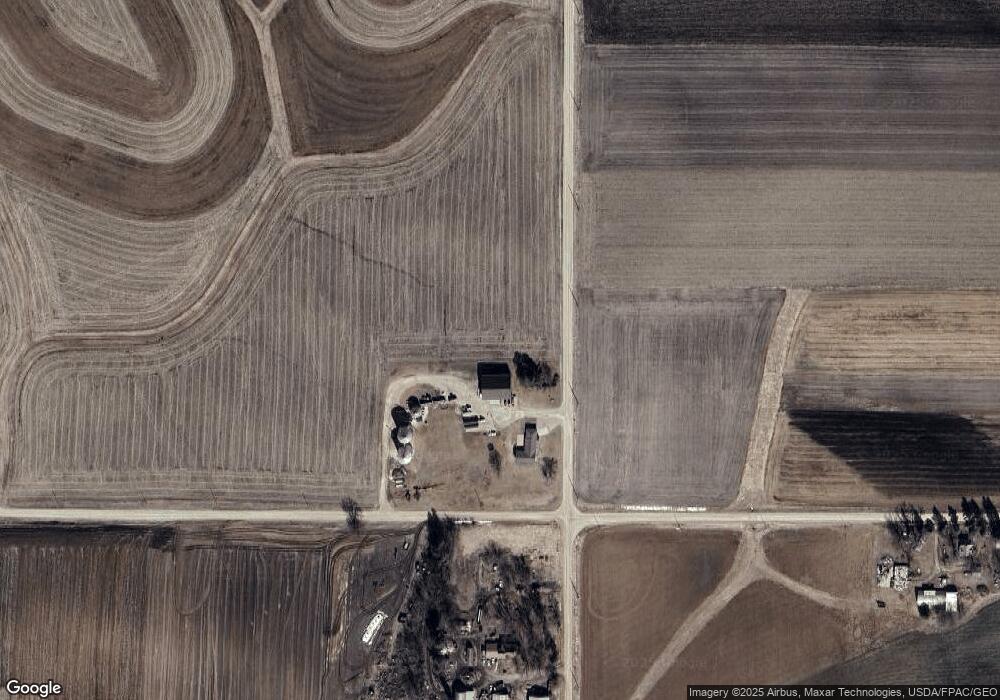
Map
Nearby Homes
- 655 1st St SE
- 675 1st St SE
- 5 6th Ave SE
- 407 8th St SW
- 80 Rolling Hills Dr
- 105 10th St NW
- 53022 253rd Ave
- 370 7th St SW
- 300 7th St SW
- 35 Ashley Ln
- 845 3rd Ave NW
- 115 Rolling Hills Dr
- 100 Rolling Hills Dr
- 90 Rolling Hills Dr
- 110 Rolling Hills Dr
- 85 Rolling Hills Dr
- 105 Rolling Hills Dr
- 445 6th St SW
- 145 4th Ave NW
- 45 Rolling Hills Dr
- 52851 275th Ave
- 27303 530th St
- 27118 530th St
- 53386 275th Ave
- 53386 275th Ave
- 53611 275th Ave
- 26827 530th St
- 53295 282nd Ave
- 52300 275th Ave
- 27767 Highway 247
- 27425 539th St
- 27456 539th St
- 27418 539th St
- 27365 Highway 247
- 27365 Highway 247
- 27365 Highway 247
- 27365 Highway 247
- 27365 Highway 247
- 53323 265th Ave
Your Personal Tour Guide
Ask me questions while you tour the home.