5309 Fishersound Ln Apollo Beach, FL 33572
Estimated Value: $1,184,000 - $1,396,000
4
Beds
4
Baths
5,929
Sq Ft
$219/Sq Ft
Est. Value
About This Home
This home is located at 5309 Fishersound Ln, Apollo Beach, FL 33572 and is currently estimated at $1,295,500, approximately $218 per square foot. 5309 Fishersound Ln is a home located in Hillsborough County with nearby schools including Apollo Beach Elementary School, Eisenhower Middle School, and Lennard High School.
Ownership History
Date
Name
Owned For
Owner Type
Purchase Details
Closed on
Nov 23, 2011
Sold by
Sandow Robert and Sandow Iris
Bought by
The Sandow Family Revocable Trust
Current Estimated Value
Purchase Details
Closed on
May 28, 2010
Sold by
Crm Florida Properties
Bought by
Sandow Robert and Sandow Iris
Purchase Details
Closed on
Jul 30, 2009
Sold by
Yandy Investments Llc
Bought by
Crm Florida Properties Llc
Purchase Details
Closed on
Aug 25, 2005
Sold by
Terrabrook Apollo Beach Lp
Bought by
Bayfair Southshore Llc
Create a Home Valuation Report for This Property
The Home Valuation Report is an in-depth analysis detailing your home's value as well as a comparison with similar homes in the area
Home Values in the Area
Average Home Value in this Area
Purchase History
| Date | Buyer | Sale Price | Title Company |
|---|---|---|---|
| The Sandow Family Revocable Trust | -- | Attorney | |
| Sandow Robert | $561,000 | Platinum Title Of South Flor | |
| Crm Florida Properties Llc | $504,700 | Attorney | |
| Bayfair Southshore Llc | $345,100 | Fuentes & Kreischer Title Co |
Source: Public Records
Tax History Compared to Growth
Tax History
| Year | Tax Paid | Tax Assessment Tax Assessment Total Assessment is a certain percentage of the fair market value that is determined by local assessors to be the total taxable value of land and additions on the property. | Land | Improvement |
|---|---|---|---|---|
| 2024 | $14,791 | $543,745 | -- | -- |
| 2023 | $14,518 | $527,908 | $0 | $0 |
| 2022 | $13,918 | $512,532 | $0 | $0 |
| 2021 | $13,484 | $497,604 | $0 | $0 |
| 2020 | $13,365 | $490,734 | $0 | $0 |
| 2019 | $12,735 | $479,701 | $0 | $0 |
| 2018 | $13,152 | $470,757 | $0 | $0 |
| 2017 | $12,556 | $577,649 | $0 | $0 |
| 2016 | $12,146 | $451,591 | $0 | $0 |
| 2015 | $12,333 | $448,452 | $0 | $0 |
| 2014 | -- | $444,893 | $0 | $0 |
| 2013 | -- | $438,318 | $0 | $0 |
Source: Public Records
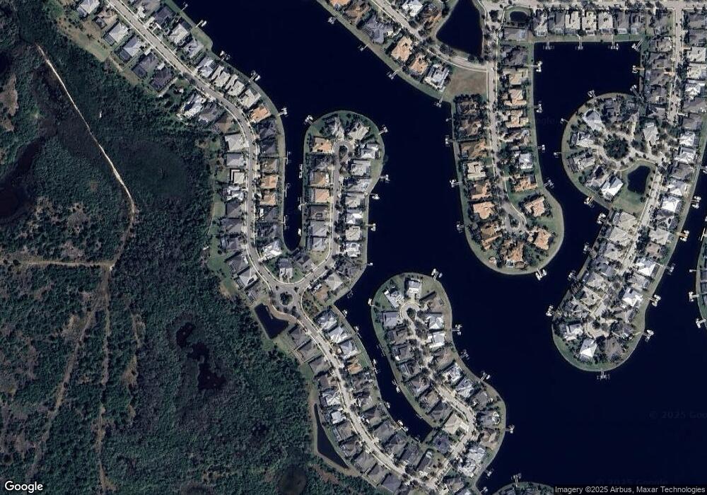
Map
Nearby Homes
- 706 Manns Harbor Dr
- 708 Manns Harbor Dr
- 5408 Tybee Island Dr
- 5405 Tybee Island Dr
- 5405 Merritt Island Dr
- 5417 Tybee Island Dr
- 729 Manns Harbor Dr
- 5307 Wishing Arch Dr
- 517 Mirabay Blvd
- 612 Mirabay Blvd
- 5603 Tybee Island Dr
- 624 Balibay Rd
- 623 Winterside Dr
- 707 Winterside Dr
- 705 Winterside Dr
- 407 Sandsend Ct
- 624 Winterside Dr
- 729 Winterside Dr
- 5221 Wishing Arch Dr
- 610 Winterside Dr
- 5311 Fishersound Ln
- 5310 Fishersound Ln
- 5315 Fishersound Ln
- 5304 Fishersound Ln
- 5314 Fishersound Ln
- 5330 Loon Nest Ct
- 5317 Fishersound Ln
- 5331 Loon Nest Ct
- 5328 Loon Nest Ct
- 637 Manns Harbor Dr
- 5302 Fishersound Ln
- 5307 Fishersound Ln
- 5305 Fishersound Ln
- 5318 Fishersound Ln
- 5303 Fishersound Ln
- 635 Manns Harbor Dr
- 5319 Fishersound Ln
- 709 Manns Harbor Dr
- 705 Manns Harbor Dr