5309 Loon Nest Ct Apollo Beach, FL 33572
Estimated Value: $1,010,000 - $1,305,284
--
Bed
5
Baths
3,576
Sq Ft
$326/Sq Ft
Est. Value
About This Home
This home is located at 5309 Loon Nest Ct, Apollo Beach, FL 33572 and is currently estimated at $1,164,571, approximately $325 per square foot. 5309 Loon Nest Ct is a home located in Hillsborough County with nearby schools including Apollo Beach Elementary School, Eisenhower Middle School, and Lennard High School.
Ownership History
Date
Name
Owned For
Owner Type
Purchase Details
Closed on
Jul 11, 2014
Sold by
Hilton Lawrence and Hilton Lorraine
Bought by
Walsh Rizzo Thomas Michael and Walsh Rizzo April
Current Estimated Value
Home Financials for this Owner
Home Financials are based on the most recent Mortgage that was taken out on this home.
Original Mortgage
$240,000
Interest Rate
4.2%
Mortgage Type
Unknown
Purchase Details
Closed on
Sep 7, 2012
Sold by
Wood David J and Wood Linda L
Bought by
Hilton Lawrence and Hilton Lorraine
Purchase Details
Closed on
Dec 29, 2009
Sold by
Branch Banking & Trust Company
Bought by
Wood David J and Wood Linda L
Create a Home Valuation Report for This Property
The Home Valuation Report is an in-depth analysis detailing your home's value as well as a comparison with similar homes in the area
Home Values in the Area
Average Home Value in this Area
Purchase History
| Date | Buyer | Sale Price | Title Company |
|---|---|---|---|
| Walsh Rizzo Thomas Michael | $300,000 | Hillsborough Title Llc | |
| Hilton Lawrence | $255,000 | Hillsborough Title Llc | |
| Wood David J | $130,000 | Heritage Title Services |
Source: Public Records
Mortgage History
| Date | Status | Borrower | Loan Amount |
|---|---|---|---|
| Closed | Walsh Rizzo Thomas Michael | $240,000 |
Source: Public Records
Tax History Compared to Growth
Tax History
| Year | Tax Paid | Tax Assessment Tax Assessment Total Assessment is a certain percentage of the fair market value that is determined by local assessors to be the total taxable value of land and additions on the property. | Land | Improvement |
|---|---|---|---|---|
| 2024 | $16,095 | $612,900 | -- | -- |
| 2023 | $15,775 | $595,049 | $0 | $0 |
| 2022 | $15,439 | $577,717 | $0 | $0 |
| 2021 | $14,995 | $560,890 | $0 | $0 |
| 2020 | $14,864 | $553,146 | $0 | $0 |
| 2019 | $14,220 | $540,710 | $0 | $0 |
| 2018 | $14,931 | $530,628 | $0 | $0 |
| 2017 | $7,752 | $157,765 | $0 | $0 |
| 2016 | $6,629 | $117,697 | $0 | $0 |
| 2015 | $6,764 | $117,697 | $0 | $0 |
| 2014 | $6,527 | $106,748 | $0 | $0 |
| 2013 | -- | $82,114 | $0 | $0 |
Source: Public Records
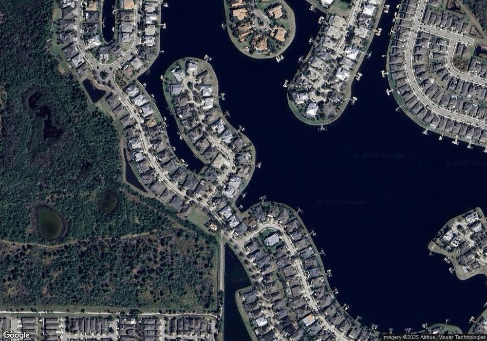
Map
Nearby Homes
- 5405 Merritt Island Dr
- 5405 Tybee Island Dr
- 5408 Tybee Island Dr
- 706 Manns Harbor Dr
- 5307 Wishing Arch Dr
- 708 Manns Harbor Dr
- 527 Manns Harbor Dr
- 623 Winterside Dr
- 5417 Tybee Island Dr
- 707 Winterside Dr
- 624 Winterside Dr
- 5227 Admiral Pointe Dr
- 705 Winterside Dr
- 407 Sandsend Ct
- 513 Manns Harbor Dr
- 5212 Brighton Shore Dr
- 610 Winterside Dr
- 5205 Brighton Shore Dr
- 729 Winterside Dr
- 729 Manns Harbor Dr
- 5307 Loon Nest Ct
- 5311 Loon Nest Ct
- 5314 Loon Nest Ct
- 5313 Loon Nest Ct
- 5306 Loon Nest Ct
- 5315 Loon Nest Ct
- 609 Manns Harbor Dr
- 607 Manns Harbor Dr
- 5259 Brighton Shore Dr
- 613 Manns Harbor Dr
- 5318 Loon Nest Ct
- 5319 Loon Nest Ct
- 5257 Brighton Shore Dr
- 605 Manns Harbor Dr
- 5261 Brighton Shore Dr
- 615 Manns Harbor Dr
- 603 Manns Harbor Dr
- 5320 Loon Nest Ct
- 5321 Loon Nest Ct
- 5255 Brighton Shore Dr