531 Castine Rd Castine, ME 04421
Estimated Value: $622,000 - $1,217,000
4
Beds
5
Baths
4,700
Sq Ft
$216/Sq Ft
Est. Value
About This Home
This home is located at 531 Castine Rd, Castine, ME 04421 and is currently estimated at $1,014,668, approximately $215 per square foot. 531 Castine Rd is a home located in Hancock County with nearby schools including Adams School.
Ownership History
Date
Name
Owned For
Owner Type
Purchase Details
Closed on
May 2, 2022
Sold by
Harold Babcock Hatch T and Harold Hatch
Bought by
Hatch Mark and Hatch Elizabeth A
Current Estimated Value
Home Financials for this Owner
Home Financials are based on the most recent Mortgage that was taken out on this home.
Original Mortgage
$400,000
Outstanding Balance
$374,725
Interest Rate
4.16%
Mortgage Type
Purchase Money Mortgage
Estimated Equity
$639,943
Purchase Details
Closed on
Jan 17, 2006
Sold by
Hatch Harold B and Hatch Andrea J
Bought by
Hatch Harold Babcock T and Hatch H
Create a Home Valuation Report for This Property
The Home Valuation Report is an in-depth analysis detailing your home's value as well as a comparison with similar homes in the area
Home Values in the Area
Average Home Value in this Area
Purchase History
| Date | Buyer | Sale Price | Title Company |
|---|---|---|---|
| Hatch Mark | -- | None Available | |
| Hatch Harold Babcock T | -- | -- | |
| Hatch Harold B | -- | -- | |
| Hatch Harold Babcock T | -- | -- | |
| Hatch Harold B | -- | -- |
Source: Public Records
Mortgage History
| Date | Status | Borrower | Loan Amount |
|---|---|---|---|
| Open | Hatch Mark | $400,000 | |
| Previous Owner | Hatch Harold B | $417,000 |
Source: Public Records
Tax History Compared to Growth
Tax History
| Year | Tax Paid | Tax Assessment Tax Assessment Total Assessment is a certain percentage of the fair market value that is determined by local assessors to be the total taxable value of land and additions on the property. | Land | Improvement |
|---|---|---|---|---|
| 2025 | $8,784 | $813,300 | $377,100 | $436,200 |
| 2024 | $7,726 | $813,300 | $377,100 | $436,200 |
| 2023 | $7,276 | $616,600 | $285,700 | $330,900 |
| 2022 | $6,882 | $529,400 | $245,500 | $283,900 |
| 2021 | $6,035 | $529,400 | $245,500 | $283,900 |
| 2020 | $6,035 | $529,400 | $245,500 | $283,900 |
| 2019 | $6,035 | $529,400 | $245,500 | $283,900 |
| 2018 | $6,220 | $529,400 | $245,500 | $283,900 |
| 2017 | $6,220 | $529,400 | $245,500 | $283,900 |
| 2016 | $5,948 | $622,800 | $288,800 | $334,000 |
| 2015 | $5,948 | $622,800 | $288,800 | $334,000 |
| 2013 | $5,792 | $622,800 | $288,800 | $334,000 |
Source: Public Records
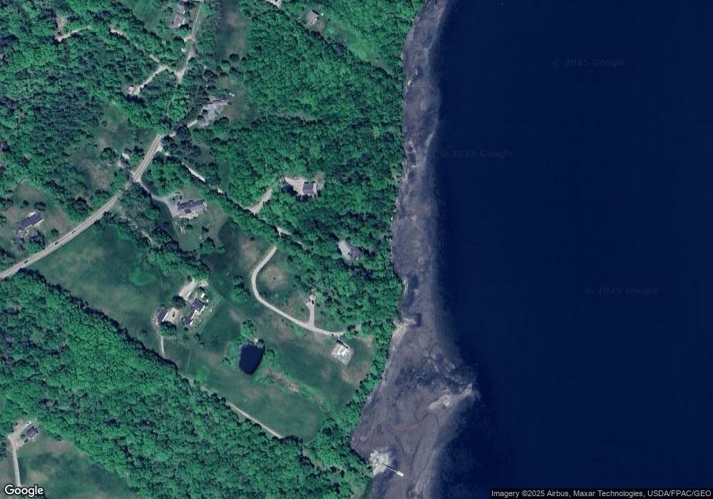
Map
Nearby Homes
- 118 Wescott Battery
- 581 the Shore Rd
- 37 Water St
- 10 Green St
- 684 the Shore Rd
- 1026 Castine Rd
- M17 L15 Battle Ave
- 00 Dunbar
- 113 Wardwell Point Rd
- M17 L15 Perkins St
- 1114 Castine Rd
- M15 L23 Varnum Rd
- 79 Perkins St
- Map4 Lot26 Graytown Rd
- 269 Wardwell Point Rd
- 111 Franks Flat Rd
- 0 Kingdom Rd
- 15 Maine 166
- 26 Tidal Creek Rd
- 352 Bayview Rd
- 533 Castine Rd
- 533 Castine Rd
- 529 Castine Rd
- 537 Castine Rd
- 527 Castine Rd
- 25 Old Ferry Rd
- 00 Old Ferry Road (Lower)
- 11 Schoolhouse Ln
- 552 Castine Rd
- 552 Castine
- 567 Castine Rd
- 566 Castine Rd
- 98 Coverly
- 577 Castine Rd
- 578 Castine Rd
- 46 Cranberry Ln
- 587 Castine Rd
- 222 Ferry Rd
- M6 L25 Esther Island
- 35 Coverly Ln