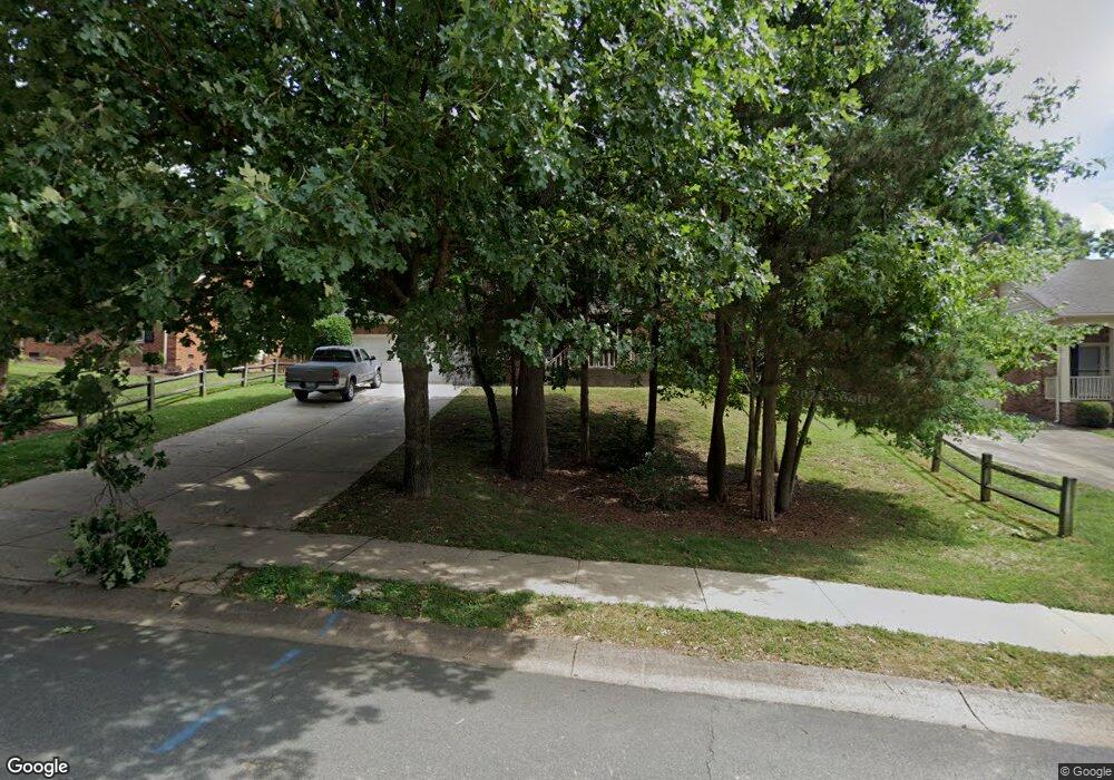
531 Laurel Fork Dr Matthews, NC 28105
Estimated Value: $534,122 - $606,000
3
Beds
3
Baths
2,076
Sq Ft
$277/Sq Ft
Est. Value
About This Home
This home is located at 531 Laurel Fork Dr, Matthews, NC 28105 and is currently estimated at $574,531, approximately $276 per square foot. 531 Laurel Fork Dr is a home located in Mecklenburg County with nearby schools including Elizabeth Lane Elementary, South Charlotte Middle, and Providence High.
Ownership History
Date
Name
Owned For
Owner Type
Purchase Details
Closed on
Mar 26, 1998
Sold by
Seliskar Daniel J and Seliskar Fontaine M
Bought by
Rizzo Robert J and Rizzo Gina M
Current Estimated Value
Home Financials for this Owner
Home Financials are based on the most recent Mortgage that was taken out on this home.
Original Mortgage
$180,950
Outstanding Balance
$33,660
Interest Rate
6.87%
Mortgage Type
Purchase Money Mortgage
Estimated Equity
$540,871
Create a Home Valuation Report for This Property
The Home Valuation Report is an in-depth analysis detailing your home's value as well as a comparison with similar homes in the area
Home Values in the Area
Average Home Value in this Area
Purchase History
| Date | Buyer | Sale Price | Title Company |
|---|---|---|---|
| Rizzo Robert J | $190,500 | -- |
Source: Public Records
Mortgage History
| Date | Status | Borrower | Loan Amount |
|---|---|---|---|
| Open | Rizzo Robert J | $180,950 |
Source: Public Records
Tax History
| Year | Tax Paid | Tax Assessment Tax Assessment Total Assessment is a certain percentage of the fair market value that is determined by local assessors to be the total taxable value of land and additions on the property. | Land | Improvement |
|---|---|---|---|---|
| 2025 | $3,494 | $459,500 | $100,000 | $359,500 |
| 2024 | $3,494 | $459,500 | $100,000 | $359,500 |
| 2023 | $3,443 | $459,500 | $100,000 | $359,500 |
| 2022 | $2,867 | $319,700 | $90,000 | $229,700 |
| 2021 | $2,867 | $319,700 | $90,000 | $229,700 |
| 2020 | $2,907 | $319,700 | $90,000 | $229,700 |
| 2019 | $2,901 | $319,700 | $90,000 | $229,700 |
| 2018 | $2,702 | $227,000 | $67,900 | $159,100 |
| 2017 | $2,647 | $227,000 | $67,900 | $159,100 |
| 2016 | $2,644 | $227,000 | $67,900 | $159,100 |
| 2015 | $2,640 | $227,000 | $67,900 | $159,100 |
| 2014 | $2,581 | $226,400 | $61,800 | $164,600 |
Source: Public Records
Map
Nearby Homes
- 1062 Elizabeth Manor Ct
- 1111 Somersby Ln
- 440 Bubbling Well Rd
- 944 Evian Ln
- 2004 Maynard Rd
- 8025 Crockett Ln
- 8215 Schooner Ln
- 2038 Trowbridge Ct
- 2310 Keara Way
- Huntingdon Grand Plan at Summerfield
- Chesterfield Plan at Summerfield
- Rockford Plan at Summerfield
- 3218 Pollard Ct
- 1624 Emory Oak Dr
- 9413 Tillot Dr
- 2723 Providence Pine Ln
- 2337 Providence Creek Ln
- 1736 Walnut Crest Ln
- 1941 Wilrose Place
- 7615 Alexander Rd
- 601 Laurel Fork Dr
- 525 Laurel Fork Dr
- 516 Eastville Ct
- 607 Laurel Fork Dr
- 519 Laurel Fork Dr
- 514 Eastville Ct
- 517 Eastville Ct
- 530 Laurel Fork Dr
- 514 Laurel Fork Dr
- 600 Laurel Fork Dr
- 530 Foxfield Ln
- 615 Laurel Fork Dr
- 515 Laurel Fork Dr
- 528 Foxfield Ln
- 700 Walnut Point Dr
- 513 Eastville Ct
- 532 Foxfield Ln
- 708 Walnut Point Dr
- 628 Walnut Point Dr
- 620 Walnut Point Dr