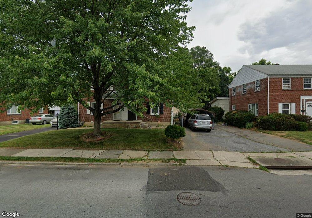
531 Mohawk St Allentown, PA 18103
Southside NeighborhoodEstimated Value: $253,000 - $281,000
3
Beds
2
Baths
1,404
Sq Ft
$188/Sq Ft
Est. Value
About This Home
This home is located at 531 Mohawk St, Allentown, PA 18103 and is currently estimated at $263,472, approximately $187 per square foot. 531 Mohawk St is a home located in Lehigh County with nearby schools including Hiram W Dodd Elementary School, South Mountain Middle School, and Louis E. Dieruff High School.
Ownership History
Date
Name
Owned For
Owner Type
Purchase Details
Closed on
Feb 28, 2005
Sold by
Darrah William L
Bought by
Ogundele Kayode E and Ogundele Oluwatoyin O
Current Estimated Value
Home Financials for this Owner
Home Financials are based on the most recent Mortgage that was taken out on this home.
Original Mortgage
$108,641
Outstanding Balance
$55,260
Interest Rate
5.66%
Mortgage Type
FHA
Estimated Equity
$208,212
Purchase Details
Closed on
Nov 16, 2001
Sold by
Defanti Linda J
Bought by
Darrah William L
Purchase Details
Closed on
Sep 23, 1992
Sold by
Wolf Donald F and Wolf Hope L
Bought by
Defanti Linda J
Create a Home Valuation Report for This Property
The Home Valuation Report is an in-depth analysis detailing your home's value as well as a comparison with similar homes in the area
Home Values in the Area
Average Home Value in this Area
Purchase History
| Date | Buyer | Sale Price | Title Company |
|---|---|---|---|
| Ogundele Kayode E | $109,500 | -- | |
| Darrah William L | $87,500 | -- | |
| Defanti Linda J | $82,000 | -- |
Source: Public Records
Mortgage History
| Date | Status | Borrower | Loan Amount |
|---|---|---|---|
| Open | Ogundele Kayode E | $108,641 |
Source: Public Records
Tax History Compared to Growth
Tax History
| Year | Tax Paid | Tax Assessment Tax Assessment Total Assessment is a certain percentage of the fair market value that is determined by local assessors to be the total taxable value of land and additions on the property. | Land | Improvement |
|---|---|---|---|---|
| 2025 | $3,770 | $111,900 | $16,500 | $95,400 |
| 2024 | $3,770 | $111,900 | $16,500 | $95,400 |
| 2023 | $3,770 | $111,900 | $16,500 | $95,400 |
| 2022 | $3,642 | $111,900 | $95,400 | $16,500 |
| 2021 | $3,572 | $111,900 | $16,500 | $95,400 |
| 2020 | $3,482 | $111,900 | $16,500 | $95,400 |
| 2019 | $3,428 | $111,900 | $16,500 | $95,400 |
| 2018 | $3,181 | $111,900 | $16,500 | $95,400 |
| 2017 | $3,103 | $111,900 | $16,500 | $95,400 |
| 2016 | -- | $111,900 | $16,500 | $95,400 |
| 2015 | -- | $111,900 | $16,500 | $95,400 |
| 2014 | -- | $111,900 | $16,500 | $95,400 |
Source: Public Records
Map
Nearby Homes
- 1831 S Church St
- 1852 S 2nd St
- 203 W Brookdale St
- 206 208 W Emaus Ave
- 566 W Emaus Ave
- 566 588 W Emaus Ave
- 148 W Brookdale St
- 2347 S Law St Unit 2349
- 135 W Wabash St
- 102 W Brookdale St
- 642 W Emaus Ave
- 2416 S Alice St Unit 2418
- 2401 S Church St
- 2413 S Church St
- 1865 Chapel Ave
- 2441 S 4th St
- 1901 S Delaware St
- 2429 S Front St
- 2421 S Wood St
- 316 W Mountain Rd
- 533 Mohawk St
- 525 Mohawk St
- 537 Mohawk St
- 523 Mohawk St
- 519 Mohawk St
- 539 Mohawk St
- 517 Mohawk St
- 545 Mohawk St
- 513 Mohawk St Unit 517
- 1905 S Law St
- 547 Mohawk St
- 1907 S Law St
- 534 Mohawk St
- 542 Mohawk St
- 1911 S Law St
- 551 Mohawk St
- 536 Mohawk St Unit 538
- 1915 S Law St
- 540 Mohawk St Unit 542
- 518 Mohawk St