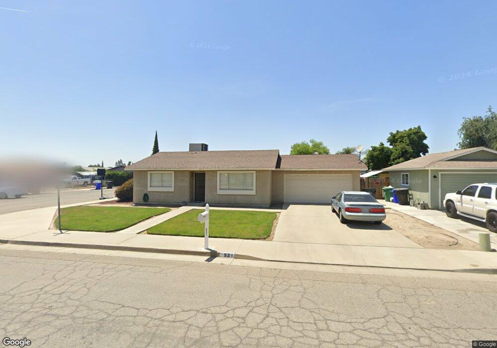
531 N Delta St Porterville, CA 93257
Porterville Northwest NeighborhoodEstimated Value: $182,000 - $269,000
2
Beds
1
Bath
910
Sq Ft
$258/Sq Ft
Est. Value
About This Home
This home is located at 531 N Delta St, Porterville, CA 93257 and is currently estimated at $235,029, approximately $258 per square foot. 531 N Delta St is a home located in Tulare County with nearby schools including Jim Maples Academy, Burton Middle School, and Monache High School.
Ownership History
Date
Name
Owned For
Owner Type
Purchase Details
Closed on
Feb 26, 2019
Sold by
Wallace Robert W
Bought by
Wallace Robert and Wallace Barbara
Current Estimated Value
Purchase Details
Closed on
Dec 9, 2008
Sold by
Wallace Robert W
Bought by
Wallace Robert W and Klassen Susan L
Purchase Details
Closed on
Apr 28, 2003
Sold by
Wallace Robert W
Bought by
Wallace Robert W and Klassen Susan L
Create a Home Valuation Report for This Property
The Home Valuation Report is an in-depth analysis detailing your home's value as well as a comparison with similar homes in the area
Home Values in the Area
Average Home Value in this Area
Purchase History
| Date | Buyer | Sale Price | Title Company |
|---|---|---|---|
| Wallace Robert | -- | None Available | |
| Wallace Robert W | -- | None Available | |
| Wallace Robert W | -- | -- | |
| Wallace Robert W | -- | -- |
Source: Public Records
Tax History Compared to Growth
Tax History
| Year | Tax Paid | Tax Assessment Tax Assessment Total Assessment is a certain percentage of the fair market value that is determined by local assessors to be the total taxable value of land and additions on the property. | Land | Improvement |
|---|---|---|---|---|
| 2025 | $949 | $90,337 | $30,472 | $59,865 |
| 2024 | $949 | $88,567 | $29,875 | $58,692 |
| 2023 | $952 | $86,832 | $29,290 | $57,542 |
| 2022 | $898 | $85,130 | $28,716 | $56,414 |
| 2021 | $901 | $83,461 | $28,153 | $55,308 |
| 2020 | $884 | $82,605 | $27,864 | $54,741 |
| 2019 | $884 | $80,986 | $27,318 | $53,668 |
| 2018 | $845 | $79,398 | $26,782 | $52,616 |
| 2017 | $831 | $77,841 | $26,257 | $51,584 |
| 2016 | $792 | $76,315 | $25,742 | $50,573 |
| 2015 | $764 | $75,168 | $25,355 | $49,813 |
| 2014 | $764 | $73,695 | $24,858 | $48,837 |
Source: Public Records
Map
Nearby Homes
- 2300 W Morton Ave Unit 163
- 2300 W Morton Ave Unit 22
- 2300 W Morton Ave Unit 135
- 2070 W Harrison Ave
- 575 N Brandy Way
- 313 Balmoral Dr
- 595 N Salisbury St
- 2179 W Della Ave
- 1771 W Aurora Ct
- 15247 Road 223
- 1730 W Grand Ave
- Sydney Plan at Laurelwood
- Carlton Plan at Laurelwood
- Carmel Plan at Laurelwood
- Aspen with Loft Plan at Laurelwood
- Aspen Plan at Laurelwood
- Hawthorne Plan at Brookside
- Walden Plan at Brookside
- Ashford Plan at Brookside
- Henley Plan at Brookside
- 541 N Delta St
- 551 N Delta St
- 550 N Kensington Place Unit 1
- 550 N Kensington Place
- 2281 W Belleview Ave
- 2271 W Belleview Ave
- 530 N Delta St
- 540 N Delta St
- 561 N Delta St
- 2261 W Belleview Ave
- 560 N Kensington Place
- 550 N Delta St
- 540 N Kensington Place
- 2270 W Aurora Ave
- 571 N Delta St
- 2251 W Belleview Ave
- 560 N Delta St
- 2260 W Aurora Ave
- 2300 W Morton Ave Unit 170
- 570 N Kensington Place