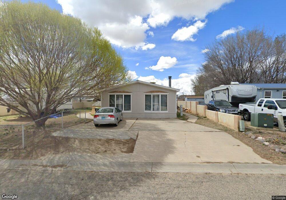
531 N Executive Dr Bloomfield, NM 87413
Estimated Value: $99,768 - $221,000
--
Bed
--
Bath
--
Sq Ft
8,102
Sq Ft Lot
About This Home
This home is located at 531 N Executive Dr, Bloomfield, NM 87413 and is currently estimated at $177,192. 531 N Executive Dr is a home located in San Juan County with nearby schools including Bloomfield High School.
Ownership History
Date
Name
Owned For
Owner Type
Purchase Details
Closed on
Nov 9, 2012
Sold by
P Johnson Family Llc
Bought by
Rodriguez Tanya L and Rodriguez-Macia Edgar A
Current Estimated Value
Home Financials for this Owner
Home Financials are based on the most recent Mortgage that was taken out on this home.
Original Mortgage
$65,000
Interest Rate
7%
Mortgage Type
Seller Take Back
Purchase Details
Closed on
Jan 31, 2006
Sold by
Johnson Eldon R
Bought by
P Johnson Family Llc
Create a Home Valuation Report for This Property
The Home Valuation Report is an in-depth analysis detailing your home's value as well as a comparison with similar homes in the area
Home Values in the Area
Average Home Value in this Area
Purchase History
| Date | Buyer | Sale Price | Title Company |
|---|---|---|---|
| Rodriguez Tanya L | -- | None Listed On Document | |
| Rodriguez Tanya L | -- | None Listed On Document | |
| Rodriguez Tanya L | $65,000 | None Available | |
| P Johnson Family Llc | -- | None Available |
Source: Public Records
Mortgage History
| Date | Status | Borrower | Loan Amount |
|---|---|---|---|
| Previous Owner | Rodriguez Tanya L | $65,000 |
Source: Public Records
Tax History Compared to Growth
Tax History
| Year | Tax Paid | Tax Assessment Tax Assessment Total Assessment is a certain percentage of the fair market value that is determined by local assessors to be the total taxable value of land and additions on the property. | Land | Improvement |
|---|---|---|---|---|
| 2024 | $368 | $12,458 | $0 | $0 |
| 2023 | $368 | $12,441 | $0 | $0 |
| 2022 | $366 | $12,246 | $0 | $0 |
| 2021 | $362 | $12,207 | $0 | $0 |
| 2020 | $361 | $12,201 | $0 | $0 |
| 2019 | $371 | $12,175 | $0 | $0 |
| 2018 | $369 | $12,403 | $0 | $0 |
| 2017 | $355 | $12,403 | $0 | $0 |
| 2016 | $354 | $12,403 | $0 | $0 |
| 2015 | $343 | $12,403 | $0 | $0 |
| 2014 | $369 | $12,414 | $0 | $0 |
Source: Public Records
Map
Nearby Homes
- 1033 Valley View Dr
- 500 N 3rd St
- 102 Garden Cir
- 1064 Valley View Dr
- 1062 Valley View Dr
- 1058 Valley View Dr
- 1031 Valley View Dr
- 104 S Turner St
- 1060 Valley View Dr
- 1040 Valley View Dr
- 1035 Valley View Dr
- 1043 Valley View Dr
- 1037 Valley View Dr
- 319 N Moore St
- 309 W Maple Ave
- XX Highway 550
- XXX W Main St
- 14929 Highway 550
- X Highway 550
- 20+ ACRES Highway 550
- 523 N Executive Dr
- 605 N Executive Dr
- 528 N Executive Dr
- 607 N Executive Dr
- 519 N Executive Dr
- 602 N Executive Dr
- 516 N Executive Dr
- 604 N Executive Dr
- 517 N Executive Dr
- 514 N Executive Dr
- 705 N Executive Dr
- 515 N Executive Dr
- 702 N Executive Dr
- 512 N Executive Dr
- 513 N Executive Dr
- 510 N Executive Dr
- 511 N Executive Dr
- 508 N Executive Dr
- 509 N Executive Dr
- 507 N Executive Dr