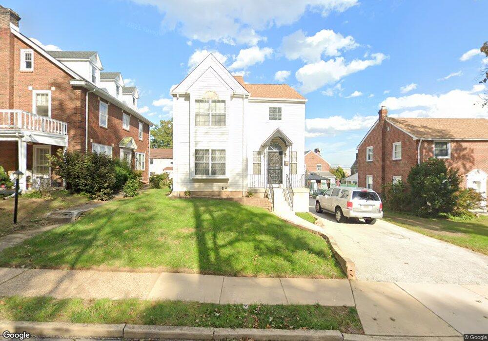
531 Netherwood Rd Upper Darby, PA 19082
Estimated Value: $367,000 - $430,000
3
Beds
3
Baths
1,924
Sq Ft
$202/Sq Ft
Est. Value
About This Home
This home is located at 531 Netherwood Rd, Upper Darby, PA 19082 and is currently estimated at $388,614, approximately $201 per square foot. 531 Netherwood Rd is a home located in Delaware County with nearby schools including Drexel Hill Middle School, Upper Darby High School, and St. Laurence's School.
Ownership History
Date
Name
Owned For
Owner Type
Purchase Details
Closed on
Feb 18, 1997
Sold by
Federal Home Loan Mortgage Corporation
Bought by
Vanluu Tuan Van and Le Dung Ngoc
Current Estimated Value
Home Financials for this Owner
Home Financials are based on the most recent Mortgage that was taken out on this home.
Original Mortgage
$99,847
Outstanding Balance
$11,512
Interest Rate
7.78%
Mortgage Type
FHA
Estimated Equity
$377,102
Purchase Details
Closed on
Jan 5, 1996
Sold by
Osborne Ann
Bought by
Federal Home Loan Mortgage Corporation
Create a Home Valuation Report for This Property
The Home Valuation Report is an in-depth analysis detailing your home's value as well as a comparison with similar homes in the area
Home Values in the Area
Average Home Value in this Area
Purchase History
| Date | Buyer | Sale Price | Title Company |
|---|---|---|---|
| Vanluu Tuan Van | $99,900 | -- | |
| Federal Home Loan Mortgage Corporation | -- | -- |
Source: Public Records
Mortgage History
| Date | Status | Borrower | Loan Amount |
|---|---|---|---|
| Open | Vanluu Tuan Van | $99,847 |
Source: Public Records
Tax History Compared to Growth
Tax History
| Year | Tax Paid | Tax Assessment Tax Assessment Total Assessment is a certain percentage of the fair market value that is determined by local assessors to be the total taxable value of land and additions on the property. | Land | Improvement |
|---|---|---|---|---|
| 2025 | $7,561 | $178,780 | $39,980 | $138,800 |
| 2024 | $7,561 | $178,780 | $39,980 | $138,800 |
| 2023 | $7,490 | $178,780 | $39,980 | $138,800 |
| 2022 | $7,288 | $178,780 | $39,980 | $138,800 |
| 2021 | $9,827 | $178,780 | $39,980 | $138,800 |
| 2020 | $9,127 | $141,090 | $36,240 | $104,850 |
| 2019 | $8,966 | $141,090 | $36,240 | $104,850 |
| 2018 | $8,863 | $141,090 | $0 | $0 |
| 2017 | $8,633 | $141,090 | $0 | $0 |
| 2016 | $774 | $141,090 | $0 | $0 |
| 2015 | $774 | $141,090 | $0 | $0 |
| 2014 | $774 | $141,090 | $0 | $0 |
Source: Public Records
Map
Nearby Homes
- 1434 Bywood Ave
- 7226 Penarth Ave
- 7011 Hazel Ave
- 362 Margate Rd
- 367 Margate Rd
- 1806 Garrett Rd
- 351 Congress Ave
- 318 Margate Rd
- 7819 Westview Ave
- 341 Congress Ave
- 46 S State Rd
- 345 Wayne Ave
- 7823 Arlington Ave
- 207 Berbro Ave
- 312 Bayard Rd
- 7920 W Chester Pike
- 241 S Cedar Ln
- 7409 Miller Ave
- 11 S Cedar Ln
- 512 Fairfield Ave
- 525 Netherwood Rd
- 541 Netherwood Rd
- 545 Netherwood Rd
- 548 Broadview Rd
- 521 Netherwood Rd
- 550 Broadview Rd
- 544 Broadview Rd
- 552 Broadview Rd
- 549 Netherwood Rd
- 528 Broadview Rd
- 538 Netherwood Rd
- 519 Netherwood Rd
- 542 Netherwood Rd
- 530 Netherwood Rd
- 554 Broadview Rd
- 546 Netherwood Rd
- 522 Broadview Rd
- 522 Netherwood Rd
- 561 Broadview Rd
- 517 Netherwood Rd