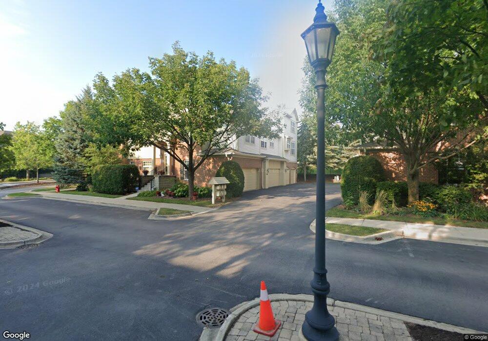
531 S Commons Ct Unit S Deerfield, IL 60015
Estimated Value: $490,000 - $517,903
2
Beds
2
Baths
2,069
Sq Ft
$243/Sq Ft
Est. Value
About This Home
This home is located at 531 S Commons Ct Unit S, Deerfield, IL 60015 and is currently estimated at $503,476, approximately $243 per square foot. 531 S Commons Ct Unit S is a home located in Lake County with nearby schools including South Park Elementary School, Charles J Caruso Middle School, and Deerfield High School.
Ownership History
Date
Name
Owned For
Owner Type
Purchase Details
Closed on
Jan 21, 2005
Sold by
Cell Raymond S
Bought by
Charous Jodi
Current Estimated Value
Home Financials for this Owner
Home Financials are based on the most recent Mortgage that was taken out on this home.
Original Mortgage
$185,000
Outstanding Balance
$93,527
Interest Rate
5.77%
Mortgage Type
Unknown
Estimated Equity
$409,949
Purchase Details
Closed on
Mar 17, 2003
Sold by
Cell Raymond and Cell Bobbie M
Bought by
Cell Raymond S and The Raymond S Cell Marital Gift Trust
Create a Home Valuation Report for This Property
The Home Valuation Report is an in-depth analysis detailing your home's value as well as a comparison with similar homes in the area
Home Values in the Area
Average Home Value in this Area
Purchase History
| Date | Buyer | Sale Price | Title Company |
|---|---|---|---|
| Charous Jodi | $485,000 | First American Title | |
| Cell Raymond S | -- | -- |
Source: Public Records
Mortgage History
| Date | Status | Borrower | Loan Amount |
|---|---|---|---|
| Open | Charous Jodi | $185,000 |
Source: Public Records
Tax History Compared to Growth
Tax History
| Year | Tax Paid | Tax Assessment Tax Assessment Total Assessment is a certain percentage of the fair market value that is determined by local assessors to be the total taxable value of land and additions on the property. | Land | Improvement |
|---|---|---|---|---|
| 2024 | $11,884 | $139,948 | $18,649 | $121,299 |
| 2023 | $13,184 | $134,307 | $17,897 | $116,410 |
| 2022 | $13,184 | $145,192 | $14,839 | $130,353 |
| 2021 | $12,433 | $139,985 | $14,307 | $125,678 |
| 2020 | $11,958 | $140,279 | $14,337 | $125,942 |
| 2019 | $11,685 | $140,041 | $14,313 | $125,728 |
| 2018 | $9,590 | $120,617 | $15,170 | $105,447 |
| 2017 | $9,512 | $120,233 | $15,122 | $105,111 |
| 2016 | $9,244 | $115,686 | $14,550 | $101,136 |
| 2015 | $9,046 | $108,697 | $13,671 | $95,026 |
| 2014 | $8,875 | $105,337 | $13,769 | $91,568 |
| 2012 | $8,666 | $104,408 | $13,648 | $90,760 |
Source: Public Records
Map
Nearby Homes
- 610 Robert York Ave Unit 104
- 679 Central Ave
- 441 Elm St Unit 3A
- 630 Hermitage Dr
- 372 Kelburn Rd Unit 313
- 382 Kelburn Rd Unit 122
- 956 Brookside Ln
- 361 Kelburn Rd Unit 316
- 1009 Central Ave
- 1038 Brookside Ln
- 757 Kipling Place
- 745 Price Ln
- 904 Forest Ave
- 860 Kenton Rd
- 312 Pine St
- 505 Margate Terrace
- 1103 Hazel Ave
- 717 Brierhill Rd
- 677 Timber Hill Rd
- 934 Wayne Ave
- 533 S Commons Ct Unit S
- 535 S Commons Ct Unit S
- 525 S Commons Ct
- 523 S Commons Ct
- 521 S Commons Ct
- 745 Central Ave Unit AVE4010
- 745 Central Ave Unit 401
- 530 S Commons Ct Unit S
- 515 S Commons Ct
- 528 S Commons Ct Unit S
- 540 S Commons Ct
- 540 S Commons Ct Unit 540
- 540 S Commons Ct Unit S
- 520 S Commons Ct Unit 202012
- 522 S Commons Ct Unit 202011
- 524 S Commons Ct Unit 202010
- 520 S Commons Ct Unit 202-01
- 520 S Commons Ct
- 542 S Commons Ct Unit 201-005
- 542 S Commons Ct Unit S