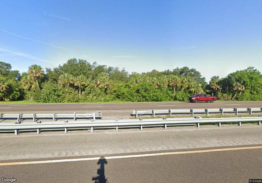
Estimated Value: $323,000 - $796,791
1
Bed
1
Bath
644
Sq Ft
$881/Sq Ft
Est. Value
About This Home
This home is located at 5310 N Highway 1, Cocoa, FL 32927 and is currently estimated at $567,264, approximately $880 per square foot. 5310 N Highway 1 is a home located in Brevard County with nearby schools including Fairglen Elementary School, Cocoa High School, and East Atlantic Prep of Brevard County.
Ownership History
Date
Name
Owned For
Owner Type
Purchase Details
Closed on
Feb 27, 2014
Sold by
Kelly Laurence P
Bought by
Kelly Laurence P
Current Estimated Value
Purchase Details
Closed on
May 17, 2012
Sold by
Dated Kelly Iii Laurence P and P Kelly Revocable Trus Dated K
Bought by
Kelly Laurence P
Home Financials for this Owner
Home Financials are based on the most recent Mortgage that was taken out on this home.
Original Mortgage
$50,000
Interest Rate
3.5%
Create a Home Valuation Report for This Property
The Home Valuation Report is an in-depth analysis detailing your home's value as well as a comparison with similar homes in the area
Home Values in the Area
Average Home Value in this Area
Purchase History
| Date | Buyer | Sale Price | Title Company |
|---|---|---|---|
| Kelly Laurence P | -- | None Available | |
| Kelly Laurence P | -- | None Available |
Source: Public Records
Mortgage History
| Date | Status | Borrower | Loan Amount |
|---|---|---|---|
| Previous Owner | Kelly Laurence P | $50,000 |
Source: Public Records
Tax History Compared to Growth
Tax History
| Year | Tax Paid | Tax Assessment Tax Assessment Total Assessment is a certain percentage of the fair market value that is determined by local assessors to be the total taxable value of land and additions on the property. | Land | Improvement |
|---|---|---|---|---|
| 2025 | $4,968 | $412,810 | -- | -- |
| 2024 | $4,921 | $401,180 | -- | -- |
| 2023 | $4,921 | $389,500 | $0 | $0 |
| 2022 | $4,614 | $378,160 | $0 | $0 |
| 2021 | $4,778 | $367,150 | $0 | $0 |
| 2020 | $4,804 | $362,090 | $0 | $0 |
| 2019 | $4,779 | $353,950 | $0 | $0 |
| 2018 | $4,822 | $347,360 | $0 | $0 |
| 2017 | $4,919 | $340,220 | $0 | $0 |
| 2016 | $5,015 | $333,230 | $315,900 | $17,330 |
| 2015 | $5,196 | $332,260 | $315,900 | $16,360 |
| 2014 | $5,262 | $331,110 | $315,900 | $15,210 |
Source: Public Records
Map
Nearby Homes
- 5400 Edgewater Ct
- 350 Akorn St
- Cove Plan at Watermark
- Luna Plan at Watermark
- Dune Plan at Watermark
- Cape Plan at Watermark
- 478 Watermark Dr
- 518 Watermark Dr
- 5815 Industrial Dr
- 5115 Quarryside Dr
- 5085 Quarryside Dr
- 5125 Quarryside Dr
- 5155 Quarryside Dr
- 615 Poller Way
- 625 Poller Way
- 635 Poller Way
- 645 Poller Way
- 655 Poller Way
- 715 Poller Way
- 604 Rockaway Ln
- 5320 N Highway 1
- 5280 N Highway 1
- 5330 N Highway 1
- ? U S 1
- 5350 N Highway 1
- 5260 N Highway 1
- 5360 U S 1
- 5360 N Highway 1
- 5285 N Highway 1 Unit 8 Unit 8
- 5285 N Highway 1 Unit 6 Unit 6
- 5285 N Highway 1 Unit 3 Unit 3
- 5285 N Highway 1 Unit 5 Unit 5
- 5285 N Highway 1 Unit 2 Unit 2
- 5285 N Highway 1 Unit 4 Unit 4
- 5285 N Highway 1 Unit 1
- 5285 Us 1
- 5370 N Highway 1
- 5370 U S 1
- 301 Wixie St
- 5240 N Highway 1
