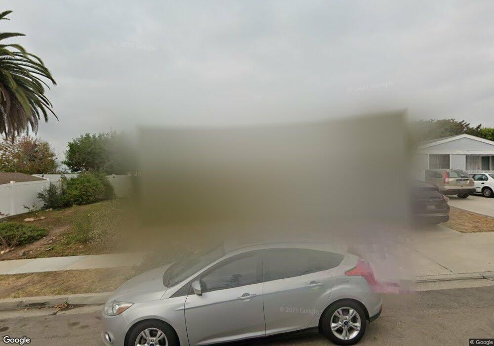
5310 Redding Rd San Diego, CA 92115
College West NeighborhoodEstimated Value: $1,130,367 - $1,285,000
4
Beds
2
Baths
1,503
Sq Ft
$786/Sq Ft
Est. Value
About This Home
This home is located at 5310 Redding Rd, San Diego, CA 92115 and is currently estimated at $1,180,842, approximately $785 per square foot. 5310 Redding Rd is a home located in San Diego County with nearby schools including Hardy Elementary School, Lewis Middle School, and Patrick Henry High School.
Ownership History
Date
Name
Owned For
Owner Type
Purchase Details
Closed on
Jun 26, 2013
Sold by
Nichols Clay M
Bought by
Lehman Kevin and Lehman Kristen
Current Estimated Value
Home Financials for this Owner
Home Financials are based on the most recent Mortgage that was taken out on this home.
Original Mortgage
$388,000
Outstanding Balance
$281,655
Interest Rate
3.88%
Mortgage Type
New Conventional
Estimated Equity
$899,187
Purchase Details
Closed on
Sep 24, 2012
Sold by
Nichols Edith M
Bought by
Nichols Clay M
Create a Home Valuation Report for This Property
The Home Valuation Report is an in-depth analysis detailing your home's value as well as a comparison with similar homes in the area
Home Values in the Area
Average Home Value in this Area
Purchase History
| Date | Buyer | Sale Price | Title Company |
|---|---|---|---|
| Lehman Kevin | $485,000 | Title 365 | |
| Nichols Clay M | -- | None Available |
Source: Public Records
Mortgage History
| Date | Status | Borrower | Loan Amount |
|---|---|---|---|
| Open | Lehman Kevin | $388,000 |
Source: Public Records
Tax History Compared to Growth
Tax History
| Year | Tax Paid | Tax Assessment Tax Assessment Total Assessment is a certain percentage of the fair market value that is determined by local assessors to be the total taxable value of land and additions on the property. | Land | Improvement |
|---|---|---|---|---|
| 2025 | $7,193 | $594,532 | $221,302 | $373,230 |
| 2024 | $7,193 | $582,875 | $216,963 | $365,912 |
| 2023 | $7,034 | $571,447 | $212,709 | $358,738 |
| 2022 | $6,847 | $560,243 | $208,539 | $351,704 |
| 2021 | $6,801 | $549,258 | $204,450 | $344,808 |
| 2020 | $6,718 | $543,627 | $202,354 | $341,273 |
| 2019 | $6,599 | $532,969 | $198,387 | $334,582 |
| 2018 | $6,170 | $522,520 | $194,498 | $328,022 |
| 2017 | $80 | $512,276 | $190,685 | $321,591 |
| 2016 | $5,927 | $502,233 | $186,947 | $315,286 |
| 2015 | $5,840 | $494,690 | $184,139 | $310,551 |
| 2014 | $5,749 | $485,000 | $180,532 | $304,468 |
Source: Public Records
Map
Nearby Homes
- 5055 Collwood Blvd Unit 319
- 4940 Defiance Way
- 5045 Collwood Way Unit 33
- 5540 Lindo Paseo Unit 19
- 4881 Collwood Blvd Unit A
- 4881 Collwood Blvd Unit B
- 4891 Collwood Blvd Unit B
- 5228 Augustana Place
- 5665 Toyon Rd Unit 27
- 5513 Adobe Falls Rd Unit 11
- 5432 Adobe Falls Rd Unit 12
- 5452 Adobe Falls Rd Unit 2
- 4848 54th St
- 5483 Maisel Way
- 5416 Redland Place
- 5556 Baja Dr
- 4810 Baylor Dr
- 4931 Lorraine Dr
- 4793 54th St
- 4737 Baylor Dr
- 5318 Redding Rd
- 5272 Manhasset Dr
- 5264 Manhasset Dr
- 5311 Saxon St
- 5319 Saxon St
- 5324 Redding Rd
- 5230 Manhasset Dr
- 5309 Redding Rd
- 5280 Manhasset Dr
- 5317 Redding Rd
- 5332 Redding Rd
- 5325 Redding Rd
- 5335 Saxon St
- 5288 Manhasset Dr
- 5290 Manhasset Dr
- 5265 Manhasset Dr
- 5333 Redding Rd
- 5273 Manhasset Dr
- 5340 Redding Rd
- 5180 Manhasset Dr
