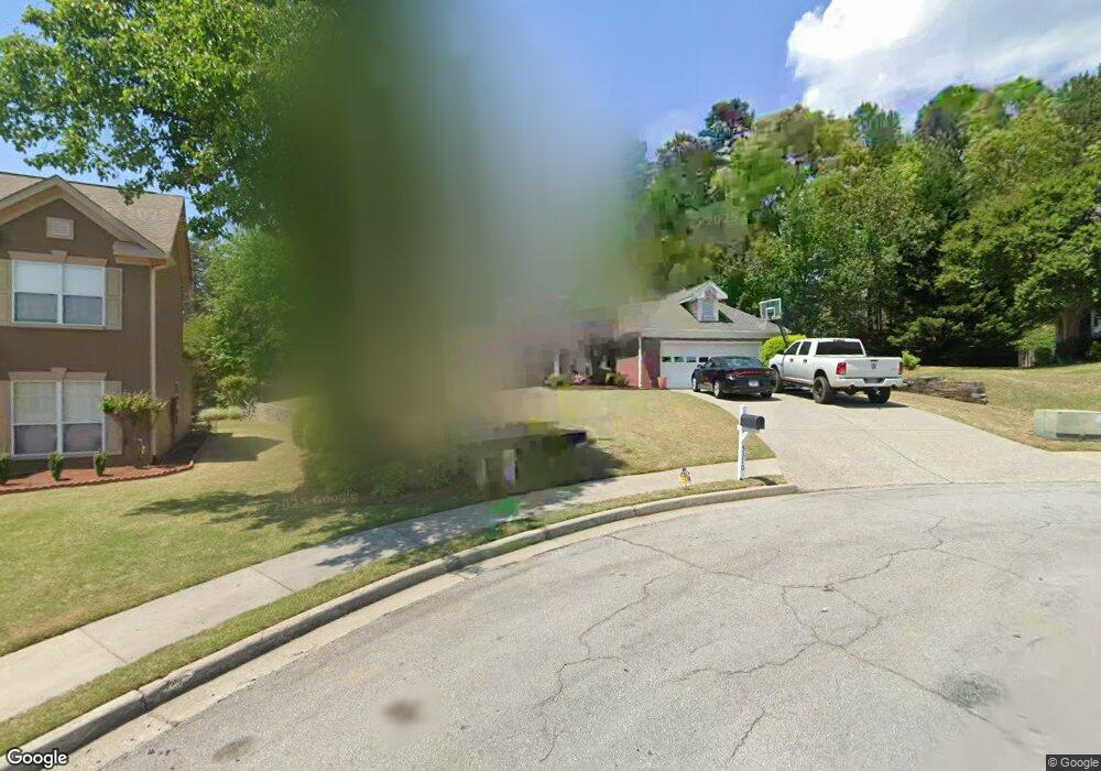
5310 Spike Ct Unit 1 Suwanee, GA 30024
Estimated Value: $449,000 - $532,000
3
Beds
2
Baths
2,161
Sq Ft
$226/Sq Ft
Est. Value
About This Home
This home is located at 5310 Spike Ct Unit 1, Suwanee, GA 30024 and is currently estimated at $488,239, approximately $225 per square foot. 5310 Spike Ct Unit 1 is a home located in Gwinnett County with nearby schools including Riverside Elementary School, North Gwinnett Middle School, and North Gwinnett High School.
Ownership History
Date
Name
Owned For
Owner Type
Purchase Details
Closed on
Mar 3, 1997
Sold by
Carrera Albert R and Balague Eva Brooch
Bought by
Kupperbusch Dawn M and Kupperbusch Kelly A
Current Estimated Value
Home Financials for this Owner
Home Financials are based on the most recent Mortgage that was taken out on this home.
Original Mortgage
$126,150
Interest Rate
7.59%
Mortgage Type
FHA
Purchase Details
Closed on
Mar 6, 1995
Sold by
Bcp Inc
Bought by
Carrera Albert R
Create a Home Valuation Report for This Property
The Home Valuation Report is an in-depth analysis detailing your home's value as well as a comparison with similar homes in the area
Home Values in the Area
Average Home Value in this Area
Purchase History
| Date | Buyer | Sale Price | Title Company |
|---|---|---|---|
| Kupperbusch Dawn M | $129,000 | -- | |
| Carrera Albert R | $135,900 | -- |
Source: Public Records
Mortgage History
| Date | Status | Borrower | Loan Amount |
|---|---|---|---|
| Previous Owner | Kupperbusch Dawn M | $126,150 | |
| Closed | Carrera Albert R | $0 |
Source: Public Records
Tax History Compared to Growth
Tax History
| Year | Tax Paid | Tax Assessment Tax Assessment Total Assessment is a certain percentage of the fair market value that is determined by local assessors to be the total taxable value of land and additions on the property. | Land | Improvement |
|---|---|---|---|---|
| 2024 | $4,527 | $171,880 | $40,000 | $131,880 |
| 2023 | $4,527 | $175,680 | $40,000 | $135,680 |
| 2022 | $4,174 | $156,400 | $33,200 | $123,200 |
| 2021 | $3,296 | $111,160 | $23,280 | $87,880 |
| 2020 | $3,321 | $111,160 | $23,280 | $87,880 |
| 2019 | $3,041 | $101,280 | $20,000 | $81,280 |
| 2018 | $3,045 | $101,280 | $20,000 | $81,280 |
| 2016 | $2,721 | $85,240 | $23,600 | $61,640 |
| 2015 | $2,453 | $72,360 | $18,400 | $53,960 |
| 2014 | -- | $66,400 | $16,400 | $50,000 |
Source: Public Records
Map
Nearby Homes
- 487 Skiles Ct
- 585 Settles Brook Ct
- 570 White Stag Ct
- 0 Johnson Rd Unit 7677593
- 0 Johnson Rd Unit 10638841
- 5195 Overbend Trail Unit 2
- 200 Johnson Rd
- 1673 Harvest Park Ln
- 993 Harvest Park Ln
- 285 Finsbury Park Ct Unit 2
- 140 Johnson Rd
- 205 Finsbury Park Ct
- 5157 Wellisford Ct Unit 8
- 236 Ashleigh Walk Pkwy
- 5105 Harbury Ln
- 5649 Kennedy Rd
- 1549 Bennett Creek Overlook
- 5096 Akard Ct
- 4863 Rosemoore Ct
- 811 Woodvale Point
- 5300 Spike Ct Unit 1
- 525 Running Fawn Dr
- 5320 Spike Ct
- 5361 Glencastle Way Unit 3
- 5358 Glencastle Way
- 5325 Spike Ct
- 535 Running Fawn Dr
- 5305 Spike Ct
- 5368 Glencastle Way
- 5371 Glencastle Way
- 510R Running Fawn Dr
- 530 Running Fawn Dr
- 510 Running Fawn Dr
- 0 Glencastle Way NW Unit 8659208
- 0 Glencastle Way NW Unit 8519065
- 0 Glencastle Way NW Unit 9029132
- 0 Glencastle Way NW Unit 3267038
- 0 Glencastle Way NW Unit 7421809
- 0 Glencastle Way NW Unit 7488865
- 0 Glencastle Way NW